Captivate and inform your audience
Share your work in a way that makes the most impact and helps your audience make informed decisions.
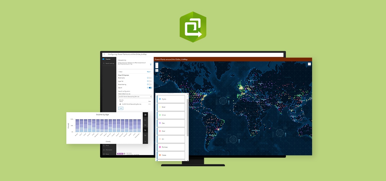
ArcGIS Instant Apps quickly transforms your maps into focused, interactive web apps through a collection of purpose-driven templates. Leverage easy-to-use, built-in tools to showcase 2D and 3D data; display a gallery of content; deliver local public information; or encourage your audience to interact with features in your map such as attachments, charts, or time sliders.

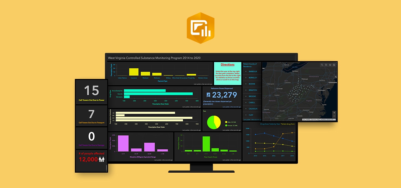
Display maps and data in an interactive and easy-to-read dashboard. Make informed decisions in real time, update your community and stakeholders, and see changes by displaying your location-based data in one convenient place. Use a diverse range of tools, including maps, lists, charts, and gauges, to effectively convey information to your audience.

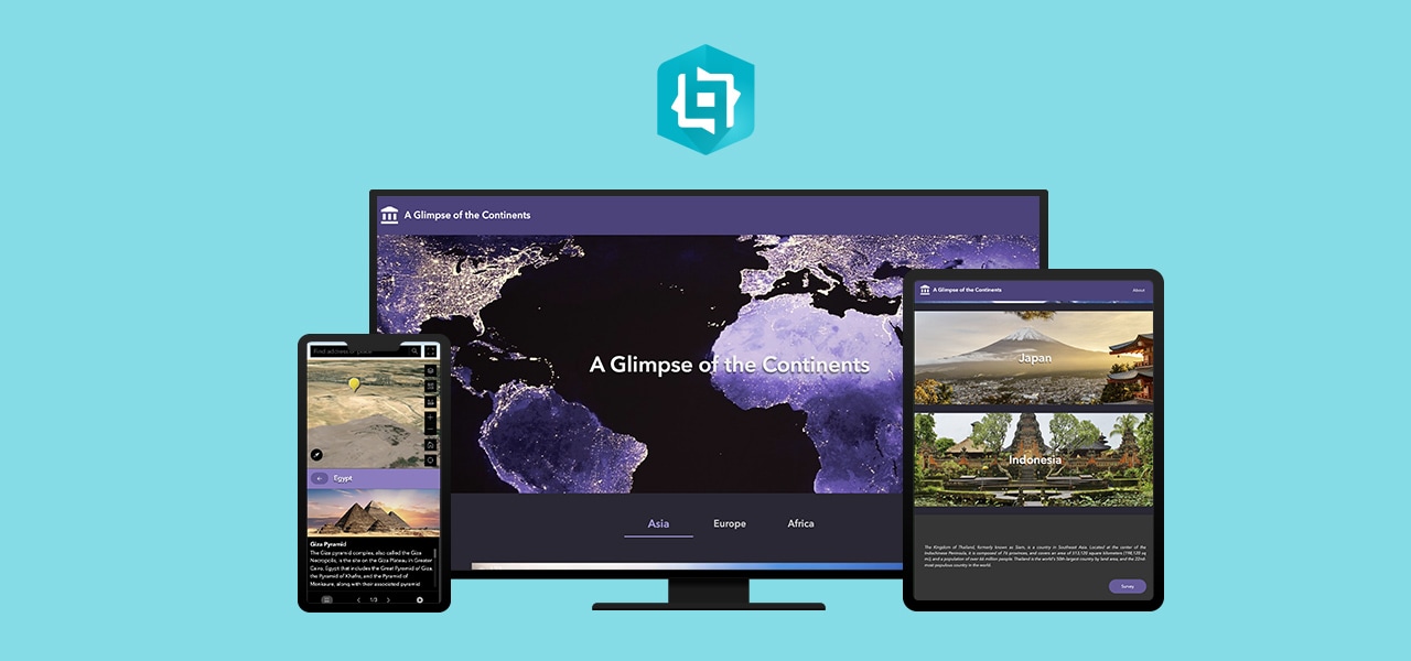
Transform your GIS work into interactive stories that inform and inspire. Whether you want to effect change, influence opinion, or create awareness, maps are an integral part of storytelling. Weave in text, photos, and videos to your 2D and 3D maps, surveys, dashboards, and more to create contextual narratives that are easy to publish and share.

Create an immersive web experience for your audience by unifying web apps, web pages, interconnected widgets, and both 2D and 3D data through a flexible drag-and-drop interface. Configure how your web app looks on mobile, tablet, and desktop screens. Build custom widgets, themes, and actions with low-code development to further extend your web app.

Questions about buying ArcGIS, pricing or need support? Email us at solutions@esribelux.com
Visit our support page
Speak with a representative