The University of Rochester has made a major investment into Esri 3D GIS technology and has begun to build a 3D virtual campus that not only models the existing built environment but also looks into the future.
University of Rochester

An extension for ArcGIS Pro, ArcMap, and ArcGIS Enterprise
The University of Rochester has made a major investment into Esri 3D GIS technology and has begun to build a 3D virtual campus that not only models the existing built environment but also looks into the future.
Evaluate the visual impact of proposed buildings on the wider cityscape or assess the visibility and safety of flight paths. Investigate the relationships between 3D features above and below the ground.
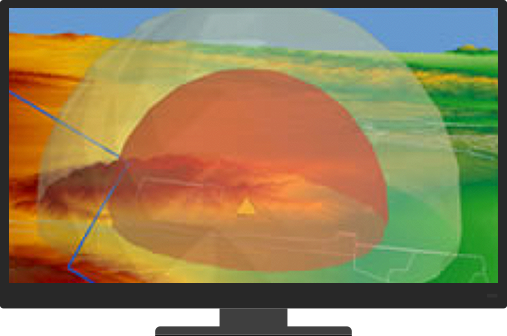
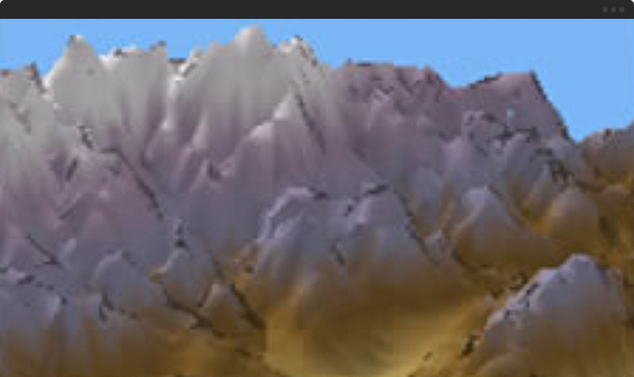
We live in a 3D world and many spatial questions can only be answered in 3D. ArcGIS 3D Analyst comes with true 3D analysis tools that can help you determine the contour, slope, or elevation of a region; the size of the shadow cast by a proposed building; or the geology beneath the surface of an area.

Quickly generate 3D master plans, and publish and share your 3D scenes with your organization or the public. You can communicate your ideas more effectively in 3D.
Begin a conversation online.
Get an email response.
Talk over the phone.