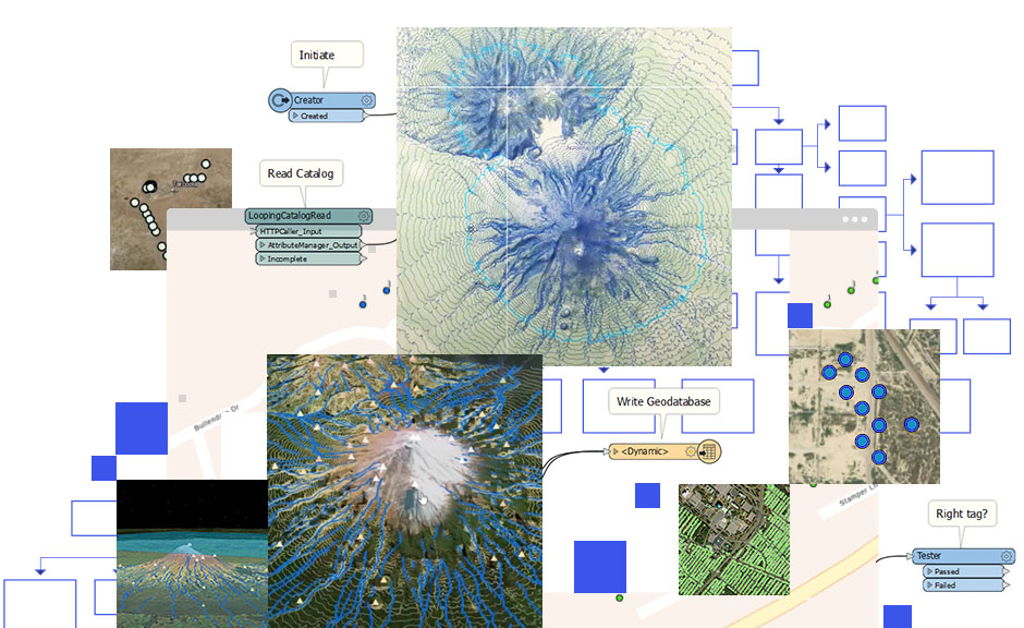
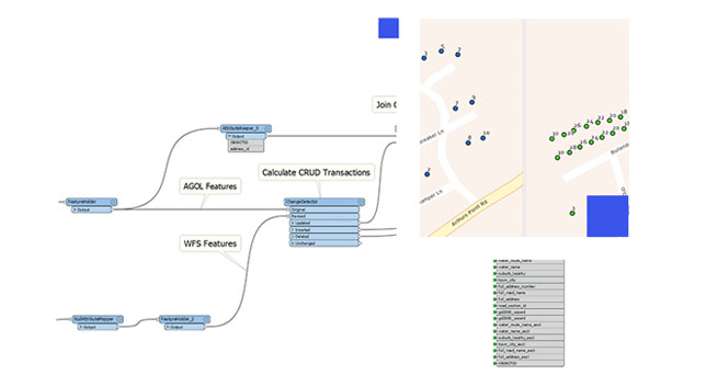
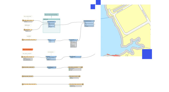
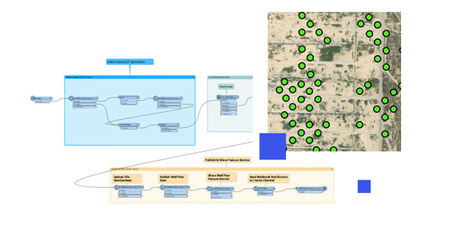
Connect, transform, automate
How data interoperability works
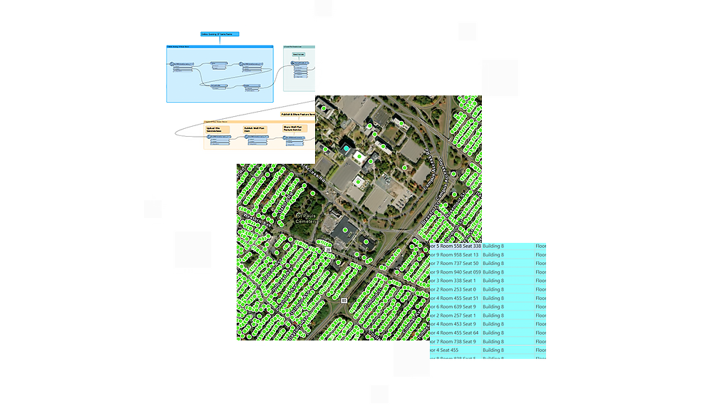
Connect
Install ArcGIS Data Interoperability to access hundreds of nonnative datasets.
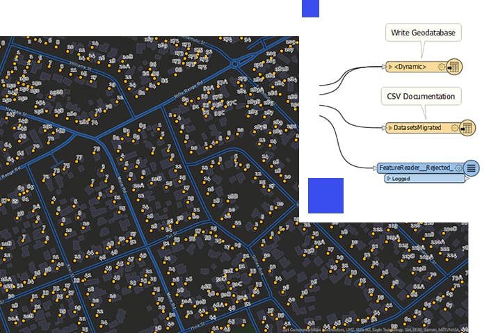
Transform
Create Spatial ETL tools to geoprocess any data.
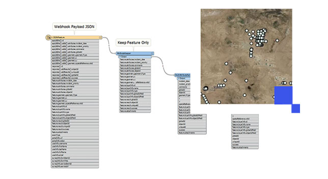
Automate
Use Spatial ETL tools as services.
Resources

Data interoperability in ArcGIS
The ArcGIS Data Interoperability extension for ArcGIS Pro and ArcGIS Enterprise ensures any data works in your ArcGIS workflows. Users can create their own tools using a no-code integration approach with Feature Manipulation Engine (FME) in ArcGIS.
ArcGIS Pro
ArcGIS Pro is a powerful desktop GIS application that offers data visualization, advanced analysis, and comprehensive data maintenance.
ArcGIS Enterprise
ArcGIS Enterprise, a foundational system for GIS, runs behind the firewall, on premises, or in the cloud and powers comprehensive functionality via apps and add-on capabilities.
Need more information?
Email us
Questions about buying ArcGIS, pricing or need support? Email us at solutions@esribelux.com
Contact customer support
Visit our support page
Call us
Speak with a representative
