You can do more with ArcGIS Field Maps
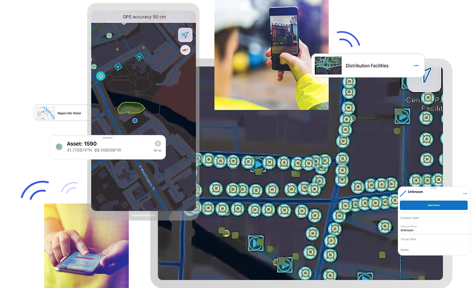
How ArcGIS Field Maps works

Better together
ArcGIS Field Maps can be combined with other focused ArcGIS apps to meet your specific workflow needs and streamline your field operations.
ArcGIS Navigator
From any point on the map, a simple click opens ArcGIS Navigator and routes you to your selected destination. It then returns you to ArcGIS Field Maps so you can capture data.
ArcGIS Workforce
Coordinate field activities. Select a task from your Workforce task list. Use ArcGIS Field Maps to complete the required work. Then, easily return to ArcGIS Workforce when you are done.
ArcGIS Dashboards
Visualize the data captured with ArcGIS Field Maps in real-time dashboards to support more informed decision-making.
ArcGIS Survey123
Pair ArcGIS Field Maps with this robust formcentric app to complete more complex field data collection workflows.
Need more information?
Email us
Questions about buying ArcGIS, pricing or need support? Email us at solutions@esribelux.com
Contact customer support
Visit our support page
Call us
Speak with a representative


