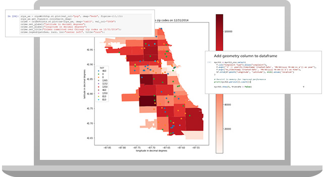
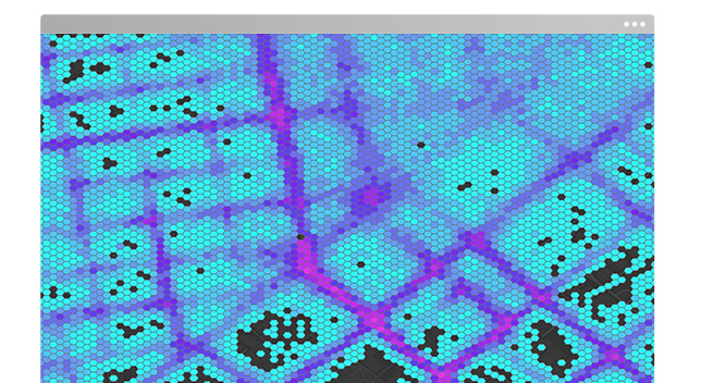
What can you do with ArcGIS GeoAnalytics Engine?
How it works

Configure
Add this cloud-native geoanalytics library to your Spark environment without learning new software or scripting languages.
Access and connect
Access geoanalytics and connect to your geospatial data—in a data lake, data warehouse, or in ArcGIS.
Analyze
Make better-informed decisions with the essential tools and specialized algorithms you need in an all-in-one geoanalytics library.
Publish
Once your geospatial analysis is complete, write results back to a cloud or ArcGIS without disrupting your big data analysis pipeline.
Supported Spark platforms
Unlock collaborative spatial data science at scale with the power of cloud-native Spark. Use ArcGIS GeoAnalytics Engine with your preferred service provider to bring spatial analysis to your big data by extending Apache Spark with ready-to-use geoanalytics tools and functions.
Resources and documentation
Discover what’s possible with spatial analytics and big data and explore how to use ArcGIS GeoAnalytics Engine.
ArcGIS GeoAnalytics Engine pricing and licensing
ArcGIS GeoAnalytics Engine has flexible licensing and pricing options. We'll work with you to find the option that best suits your needs. Complete the form to connect with us and get information.

Need more information?
Email us
Questions about buying ArcGIS, pricing or need support? Email us at solutions@esribelux.com
Contact customer support
Visit our support page
Call us
Speak with a representative


