ArcGIS GeoBIM
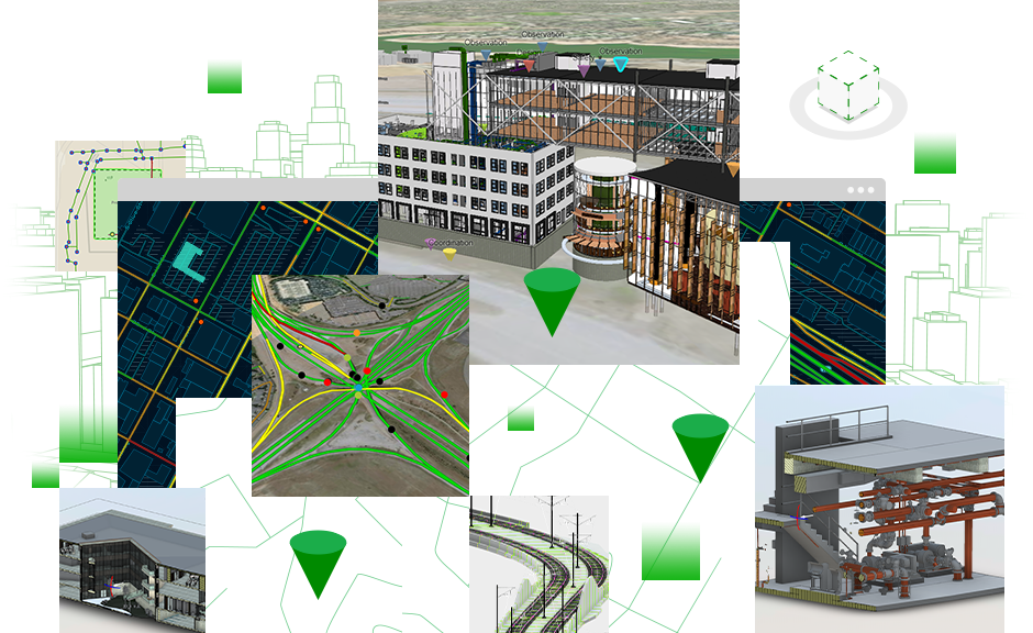
Connect geospatial data with design and construction information to see your projects and assets in context.

How it works

See projects and assets in context
Simplify how teams view, manage, and access project data across multiple locations.
Keep projects organized
Access GIS and BIM data in a single user experience.
Reduce costly model conversions
Keep your data in the systems where it was created and reduce the need to convert models throughout the project life cycle.
Communicate project performance
Visualize activities for project data, such as issue completion, timelines, and asset locations, through dashboards.
Esri and Autodesk
Esri and Autodesk are industry leaders that are working together to put GIS and BIM data at the center of projects. The shared vision is an integrated and collaborative workflow that connects data sources and improves understanding projects in context, reduces inefficiencies, and delivers more sustainable resilient infrastructure.

Autodesk Construction Cloud
Connect workflows, teams, and data at every stage of the design and construction process to reduce risk, maximize efficiency, and increase profits.

Autodesk BIM Collaborate Pro
Connect decision-makers and construction teams to manage design reviews and automate model coordination with trades. Easily track all design, coordination, quality, safety, and commissioning issues by linking data from Autodesk BIM Collaborate Pro with ArcGIS GeoBIM.
Need more information?
Email us
Questions about buying ArcGIS, pricing or need support? Email us at solutions@esribelux.com
Contact customer support
Visit our support page
Call us
Speak with a representative
