What you can do with ArcGIS Video Server
How it works
Publish the video-as-a-service
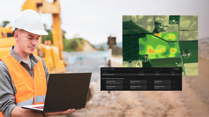
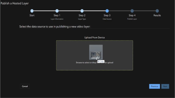
First, upload your video file to ArcGIS Video Server to publish as a web-enabled service.
Find the video in ArcGIS
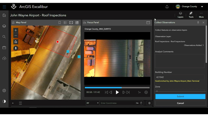
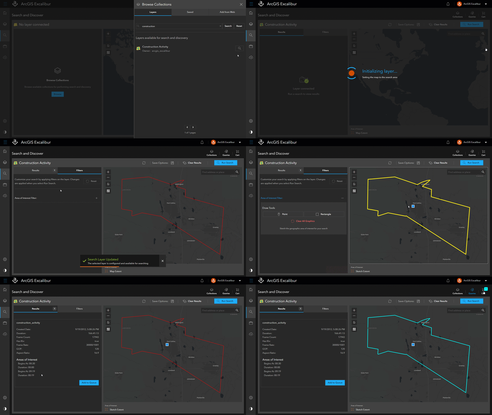
Then, leverage ArcGIS client applications such as ArcGIS Excalibur to search by time, location, or metadata to find the video you need. Or search by an area or object of interest in a video to find out how many times it appears, at what time, and for how long. You can also configure a video layer to view live video as it streams in near real time.
Play the video with map telemetry
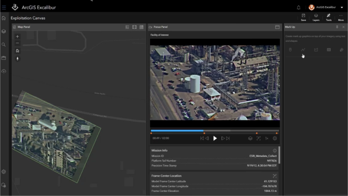
Now play the video to visualize imagery in motion alongside its telemetry on a map—a feature you can toggle on and off. Choose from a range of player controls such as pause, fast forward, or rewind. A list of markers identified from your search, such as when a facility of interest appears, allows you to jump to key moments in the video.
Conduct analysis with ArcGIS tools
Use the simplified tools in ArcGIS Excalibur to take a screenshot of an object in the video and apply it to the map. Use the Flash tool to click on the object in the video to verify its location on the map. Mark up and annotate the screenshot, and then export it to share with stakeholders in presentations.
How to get started
To use ArcGIS Video Server, you must have a base deployment of ArcGIS Enterprise. Then, you will need to use an ArcGIS client application, such as ArcGIS Excalibur, ArcGIS Image Analyst for ArcGIS Pro, or ArcGIS AllSource to interact with your geospatial video.
ArcGIS Excalibur
For web-based workflows, pair with ArcGIS Excalibur, an imagery analysis app. Excalibur offers ready-to-use tools for simple imagery and video analysis—no imagery or GIS experience required.
ArcGIS Image Analyst (coming soon)
For desktop-based workflows, pair with ArcGIS Image Analyst, an ArcGIS Pro extension. ArcGIS Image Analyst for ArcGIS Pro provides tools for advanced video interpretation and geospatial analysis. Integration with ArcGIS Video Server is coming soon.
ArcGIS AllSource (coming soon)
ArcGIS AllSource is intelligence analysis software for investigative, geospatial, and link analysis. It’s built for analysts in the military, civilian intelligence agencies, and law enforcement. Integration with ArcGIS Video Server is coming soon.
Documentation and training
Get the answers you need to get started. Learn how to set up and use ArcGIS Video Server with this documentation and training.
Need more information?
Email us
Questions about buying ArcGIS, pricing or need support? Email us at solutions@esribelux.com
Contact customer support
Visit our support page
Call us
Speak with a representative
