Develop with ArcGIS products
Build mapping and spatial analysis applications with powerful APIs, location services, and data management tools.
ArcGIS products give you access to APIs, location services, and tools to develop your own mapping and spatial analysis applications. Use mapping products for developers to build web, native, offline, desktop, or integrated solutions for yourself, your organization, or other organizations. Access a full suite of location services to provide basemap layers, geocoding and routing capabilities, and other geospatial functionalities. Securely host and manage your data in the ArcGIS cloud. Learn about the products and choose the one that meets your needs.

ArcGIS Platform
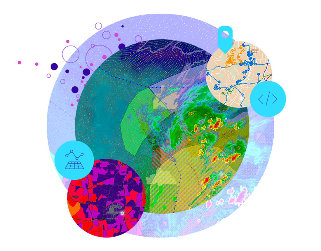
ArcGIS Platform is a platform as a service (PaaS) for developers for building mapping and analysis applications.
Developers can:
- Access location services (basemap layers, geocoding, routing, GeoEnrichment, spatial analysis, and more)
- Build apps with web, native, game engine, scripting, and open-source APIs for JavaScript, Swift, Kotlin, .NET, Java, Qt, Unity, Unreal Engine, and Python
- Securely create, store, and share content and data
- Automate administration, mapping, and analysis tasks
- Leverage mapping, analysis, and developer tools to manage maps, layers, and data
Explore resources:

ArcGIS Online
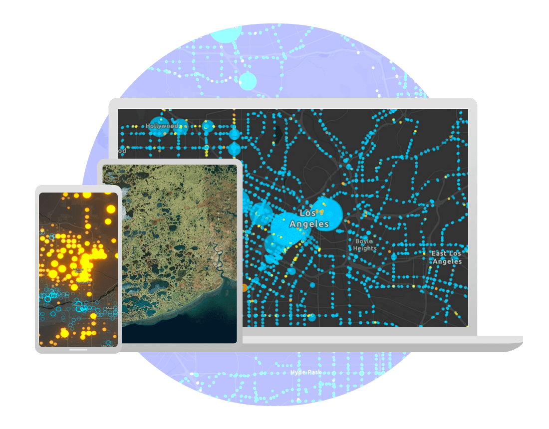
ArcGIS Online is a software as a service (SaaS) offering that organizations can use to create, manage, and share geospatial content in the cloud.
Developers can:
- Access location services (basemap layers, geocoding, routing, geoenrichment, spatial analysis, and more)
- Build apps with web, native, game engine, scripting, and open-source APIs for JavaScript, Swift, Kotlin, .NET, Java, Qt, Unity, Unreal Engine, and Python
- Use or customize no-code/low-code app builders (ArcGIS Instant Apps, ArcGIS Dashboards, ArcGIS StoryMaps, and ArcGIS Experience Builder)
- Securely create, store, and share content and data with others
- Automate administration, mapping, and analysis tasks
- Leverage mapping, analysis, and developer tools to manage maps, layers, and data
Explore resources:

ArcGIS Pro
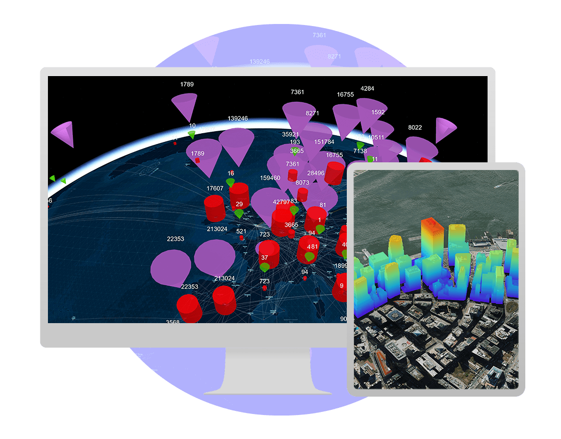
ArcGIS Pro is a professional GIS desktop application for Windows.
Developers can:
- Build add-ins with the ArcGIS Pro SDK for the Microsoft .NET Framework, which extend the capabilities of ArcGIS Pro with custom tools and UI/UX for your organization
- Automate administration, mapping, and analysis with Python scripts and geoprocessing models
- Integrate workflows with services, web maps, and data hosted on ArcGIS Enterprise and ArcGIS Online
Explore resources:

ArcGIS Enterprise
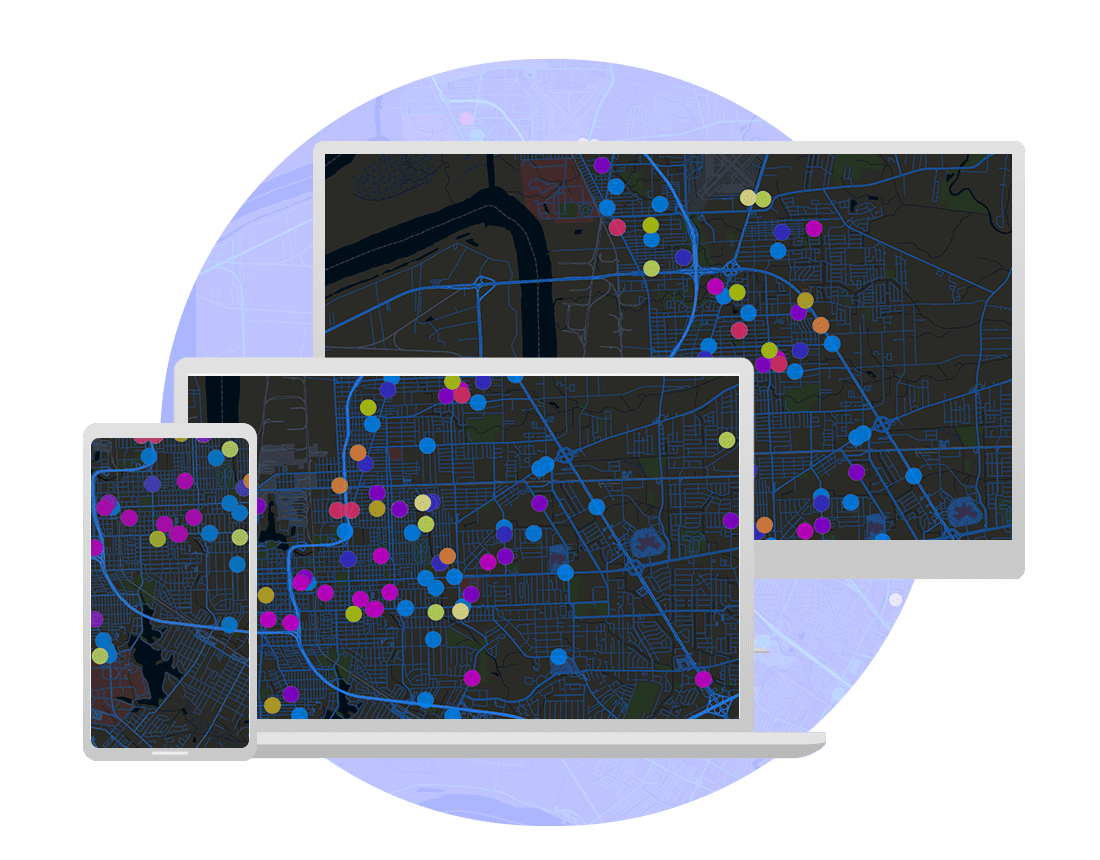
ArcGIS Enterprise is server software for GIS, powering mapping and visualization, analytics, and data management.
Developers can:
- Create, publish, and securely access your own mapping, geocoding, routing, spatial analysis, and other types of services
- Integrate with location services hosted in ArcGIS or your enterprise
- Build apps with web, native, scripting, and open-source APIs for JavaScript, iOS, Android, .NET, Java, Qt, and Python
- Build custom tools, extensions, and models for ArcGIS applications within your own infrastructure
- Automate administration, mapping, and analysis tasks
Explore resources:
Success stories
Customers use our powerful mapping tools—designed for developers—and location intelligence software to analyze data, discover insights, monitor global activity, respond to emergencies, communicate with the public, gain competitive advantages, improve efficiency, and more.
SUCCESS STORIES
Navigation and logistics
A mobile app provides turn-by-turn navigation of a work site that enables employees, visitors, and truck drivers to safely reach their destination.
SUCCESS STORIES
Sketch on maps in the field
Bluefield GIS provides a simple solution for people in the field. Draw Maps for ArcGIS helps replace paper maps and pencils, improving collaboration.
SUCCESS STORIES
Georeferencing the past
The Online Cultural and Historical Research Environment (OCHRE) integrates mapping features using Esri's ArcGIS Maps SDK for Java.
SUCCESS STORIES
Open data platform
The new Queensland Globe enables anyone on any device to intuitively browse and explore more than 600 layers of government data in both 2D and 3D.
Need more information?
Email us
Questions about buying ArcGIS, pricing or need support? Email us at solutions@esribelux.com
Contact customer support
Visit our support page
Call us
Speak with a representative