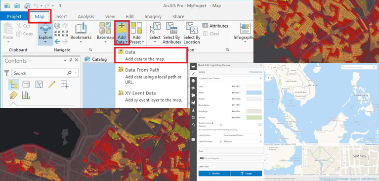
AI assistants in ArcGIS
24 and 25 April
AI (Artificial Intelligence) has become indispensable, and Esri is actively integrating AI applications into their software. The Esri Support AI chatbox is an example of an already available application, but other applications will be released soon.

