
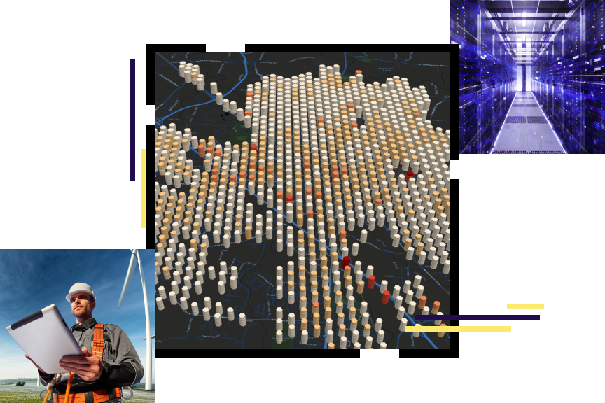
Electric Utilities
A comprehensive GIS—more than utility mapping
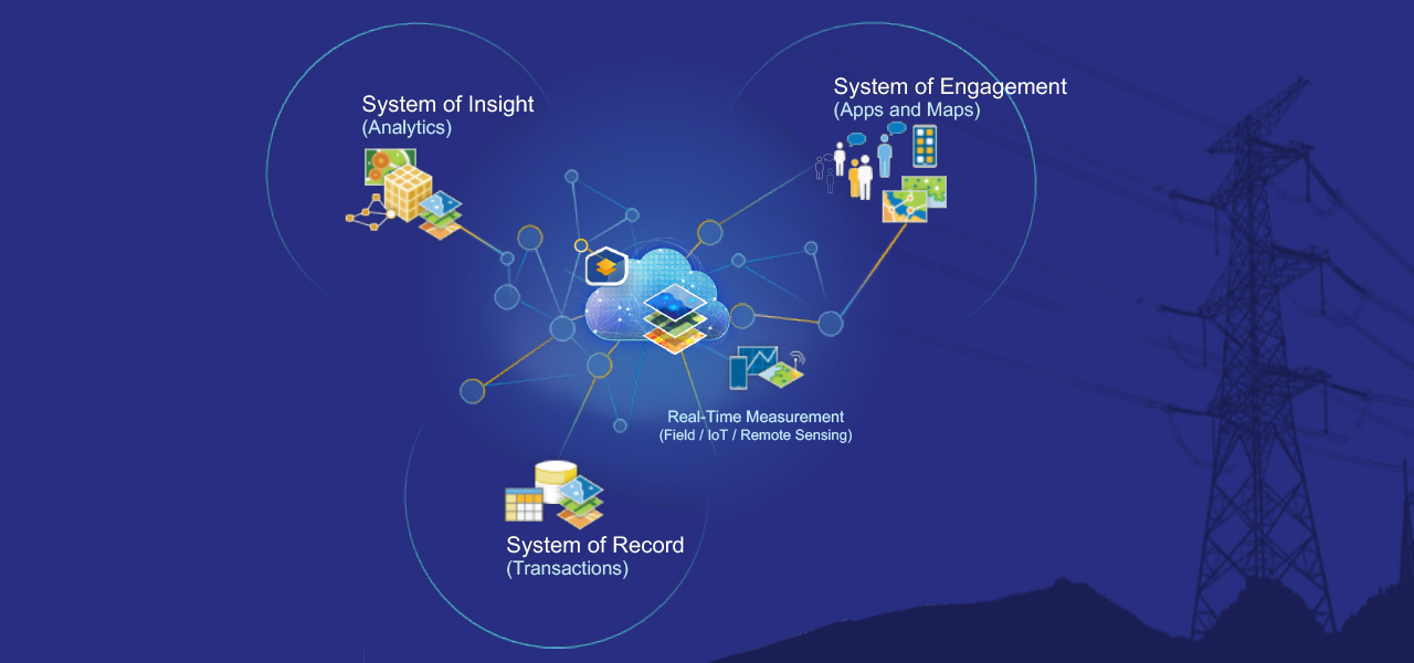
ArcGIS is a comprehensive geographic information system (GIS). It contains all the elements needed to solve utility challenges and includes tools to help you leverage digital maps. The system maintains key information, analyzing and distributing it to everyone that needs business intelligence through a system of record, a system of engagement, and a system of insights.
Electric utilities business areas
Previous
Next
Electric utility initiatives
Esri IMGIS
Attend Esri’s Infrastructure Management GIS Conference (IMGIS) October 28–30, 2025, in Palm Springs, California.
Explore real-world case studies, experiential workshops, and expert-led technical sessions across the electric, gas, water, telecommunications, and AEC industries. You'll make valuable connections and leave with actionable insights to drive innovation in your organization.

Our community
Find out how your peers are using Esri technology to achieve their goals.