
UNECA leverages open data
Dozie Ezigbalike discusses open data and the benefits of unrestricted access to information.

Maximize the impact of your global development programs with location intelligence

SUCCESS STORY
USAID used predictive analysis tools to optimize food distribution sites, minimizing the distances women and children travel to receive aid.
ArcGIS workflows maximize the impact of projects by optimizing the distribution of resources. Get insight about where activities can be focused to best reach targets outlined in global Sustainable Development Goals.

A location intelligence platform precisely measures results so you can justify expenditures and secure future funding. Take advantage of analytics that precisely assess program effectiveness and enable you to share it with all stakeholders via dashboards and map-based reports.
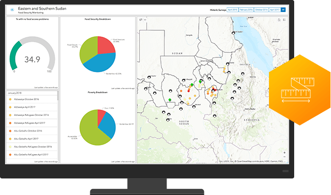
ArcGIS is as a collaboration hub that facilitates partner/client interaction. Leverage easy-to-configure apps, interactive maps, and authoritative data to engage grantees, beneficiaries, donors, and the public.

Below are videos, demos, and other materials to help you apply location intelligence to your mission.
UNECA leverages open data

Plant for the planet
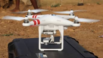
UAVs deliver hope

Sustainable Africa
Get an email response
Talk over the phone