GIS in education

Esri BeLux offers all students, teachers, and other staff easy access to ArcGIS, data, and a learning environment.

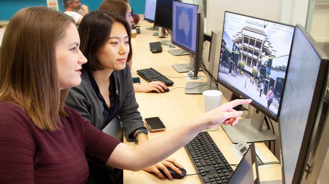
In a classroom full of students, a person looks up at the instructor next to him, and a map of New York City with dots on it
Previous
Next

Guest lectures for education

Explore our offerings:

  • GIS in Remote Sensing
  • GIS in Climatology
  • Python in GIS
  • Field Apps
  • StoryMaps
  • Dashboards

Or choose your own topic.

Contact us

Esri GIS School Programme Europe

This program offers European schools free GIS software and resources to promote digital and geospatial skills. It supports flexible learning and teacher training, aligned with national curricula.

Greet Mendonck | GIS lector en onderzoeker - AP hogeschool

What our users say

GIS science helps us capture, unravel, and make future-oriented suggestions about the complexity of (urban) landscapes, which is a central goal in our education and research. ArcGIS goes beyond being just a user tool; it is a force that speaks the language of innovation. By combining sector-specific knowledge with expertise in using this software, we bring insight and innovation to both our environment and our students.

Need more information?

Email us

Questions about buying ArcGIS, pricing or need support? Email us at solutions@esribelux.com

solutions@esribelux.com

Contact customer support

Visit our support page

Visit

Call us

Speak with a representative

32 (0)2 460 74 80