Emergency services segments
Saving Lives with ArcGIS: Hainaut Centre Rescue Zone
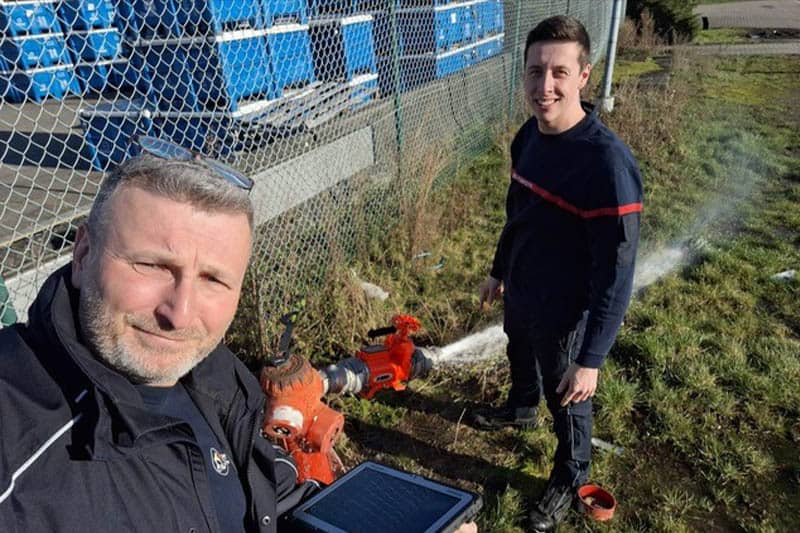
Discover how the Hainaut Centre Rescue Zone optimises its interventions thanks to Esri BeLux's GIS solutions, transforming the management of spatial information for a faster and more effective emergency response. Through advanced digitisation with ArcGIS, rescue teams benefit from modern tools that enhance accuracy and responsiveness, thereby enabling lives to be saved more efficiently.
Overcome operational challenges
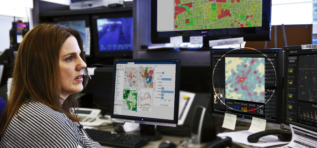
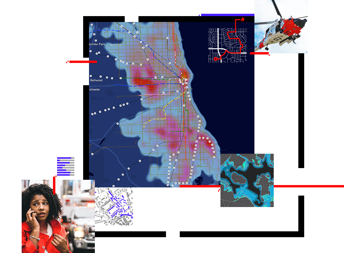
Now is the time to invest in GIS, a sophisticated mapping technology that has helped many organizations overcome operational challenges and drive improved services. It leverages all of the geographically-referenced data that exists in your systems -- such as neighbourhood statistics and demographics, imagery and sensor data, social media feeds and historic crime data -- to uncover what might not otherwise be visible or understood in a multipage report or complex spreadsheet.

Share information and maps
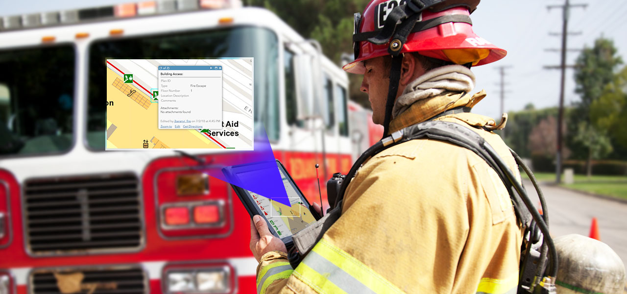
ArcGIS is a robust platform that allows you to manage, analyze and display your data so that you can make the best, most informed decisions. It gives everyone in your organization the ability to discover, use, make and share information and maps from any device, anywhere, anytime.

Monitor and respond
With your plan in place, monitor the situation and make adjustments in real time. ArcGIS provides ready-to-use, live data and integrates sensor data to enhance your situational awareness. Combined with real-time resource and asset tracking with ArcGIS, you have all the information you need to anticipate your next move.

Discover how GIS is used in emergency services
Need more information?
Email us
Questions about buying ArcGIS, pricing or need support? Email us at solutions@esribelux.com
Contact customer support
Visit our support page
Call us
Speak with a representative


