


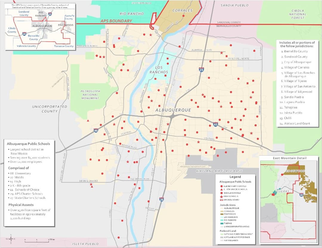
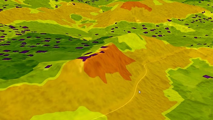
GIS3700 - The geographic portal of Tongeren
City of Tongeren
Get access to interactive maps for urban planning, environmental management, and public safety in Tongeren.

Esri BeLux offers local governments an accessible ArcGIS solution for better management and development of your city or municipality.
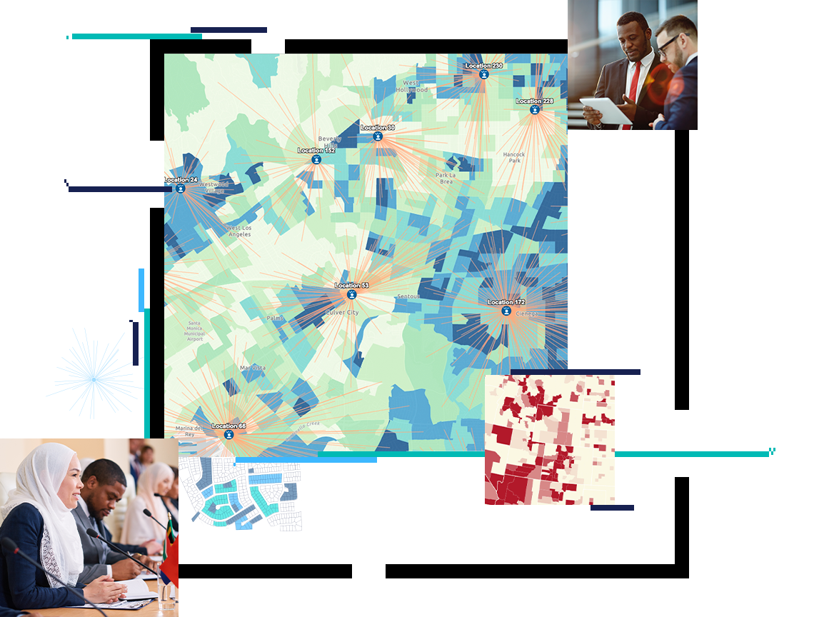
ArcGIS can be used by each department individually for a specific use case, as well as for collaboration between departments. Here are just a few examples of how ArcGIS can be applied for a wide range of applications, from urban planning to environmental management.
GIS3700 - The geographic portal of Tongeren
City of Tongeren

Environmental permits and public inquiries
City of Ostend
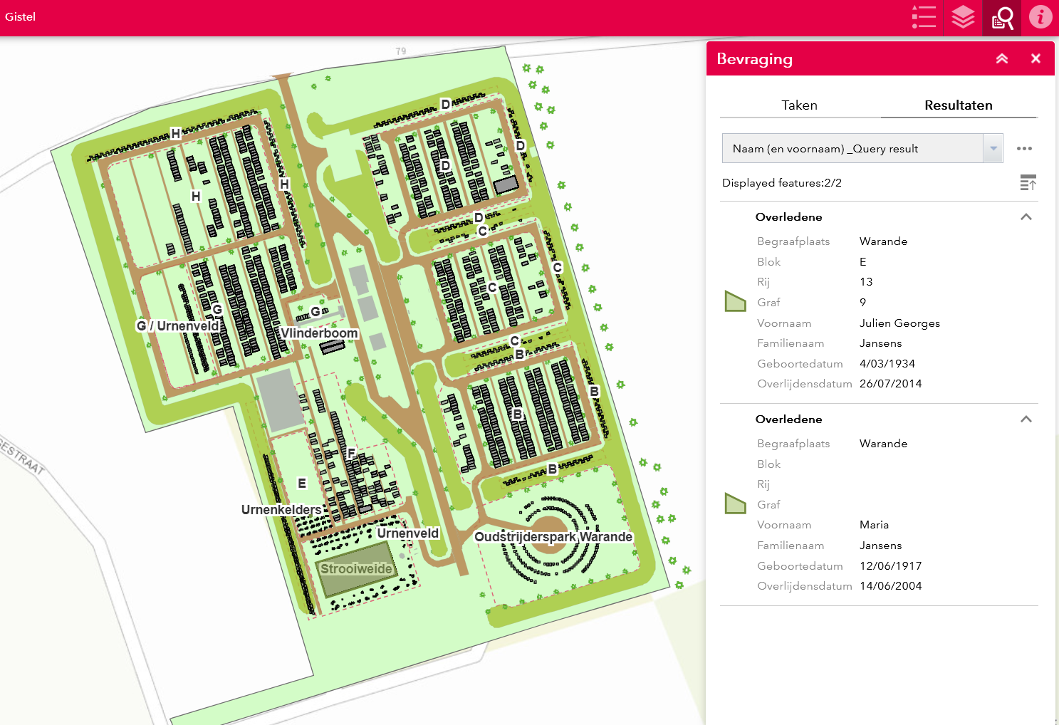
Easily find burial locations online in Gistel
City of Gistel
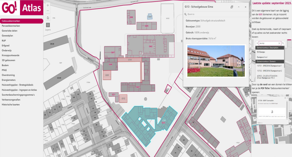
GO! onderwijs maps school information and assets
GO! onderwijs van de Vlaamse Gemeenschap

A layered cycling route network in East Flanders
Province of East Flanders
Koksijde maps its nature reserves and green spaces
Municipality of Koksijde
Not a member yet?
Email us at marketing-team@esribelux.com to gain access!

Questions about buying ArcGIS, pricing or need support? Email us at solutions@esribelux.com
Visit our support page
Speak with a representative