Analyze
Make sense of large datasets by applying various modeling, statistical, and visualization techniques. Turn data into actionable information.
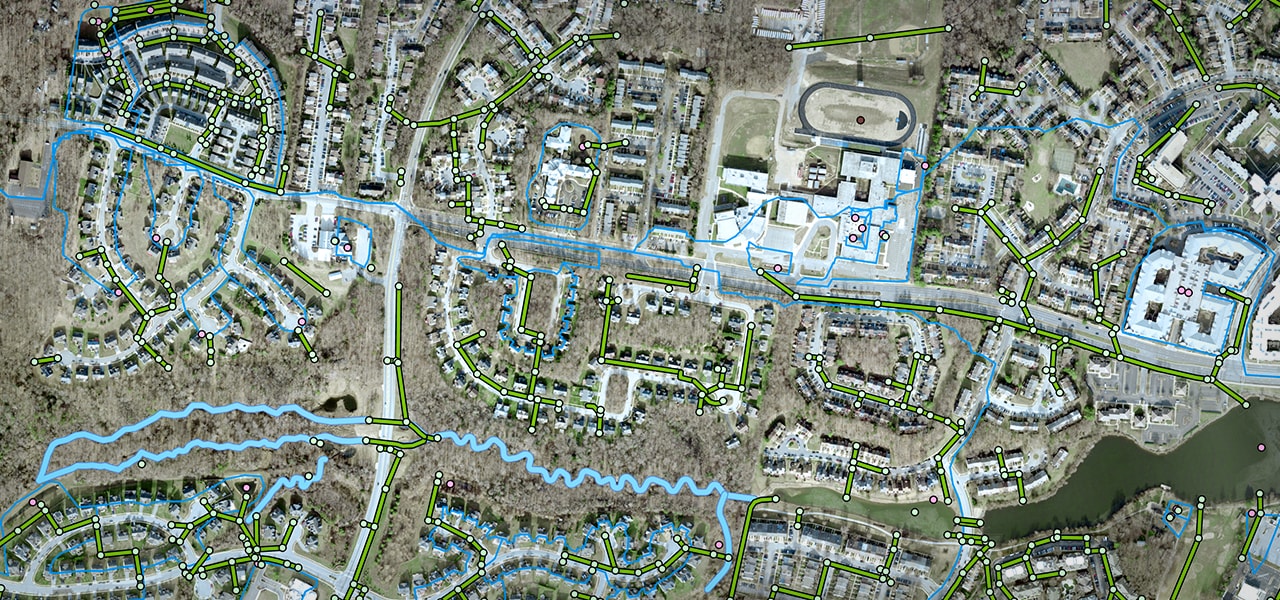
Multiple agencies in Prince George's County work together to ensure stormwater management compliance as well as plan and execute projects to improve watershed health in the county. A centralized geodatabase eliminated the need to reconcile data between agencies, consultants, and the municipal separate storm sewer system (MS4) report. This has resulted in data-driven decisions that meet regulatory compliance, achieve cost effectiveness, and support community progress.


Esri's Arc Hydro consists of a data model, toolset, and workflows developed over the years to support specific GIS implementations in water resources.
Access Arc Hydro tools, downloads for ArcMap and ArcGIS Pro, documentation, and best practice guides to support downloading and installing Arc Hydro tools.
Explore the water datasets that can be found in the ArcGIS Living Atlas of the World—live stream gauges, soils, rivers, pollution, wetlands, and more.
Become part of Esri's online water resources community. Learn, discuss, and ask questions.
Hear from Esri president Jack Dangermond, Esri staff experts, and special guests during the Plenary Session. Learn how to use the latest tools in technical sessions. Get inspired by user presentations and the Map Gallery entries. Find solutions in the Expo and Esri Showcase, and shop at the Esri Merch Store.

Access a collection of water community success stories, events, news, and resources. Join our Esri water resources community and subscribe to the industry newsletter.

Esri's water resources professional services team offers instructor-led courses for individuals and strategically planned training for organizations.
