User Story
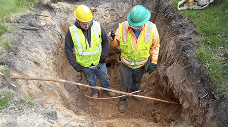
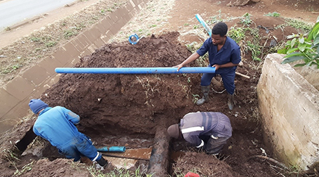
Data transparency for a community in action
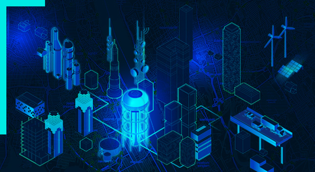
Engineering firm Abonmarche uses ArcGIS Online to quickly replace lead service lines in Benton Harbor, Michigan.
Explore resources for water utilities and connect with industry experts
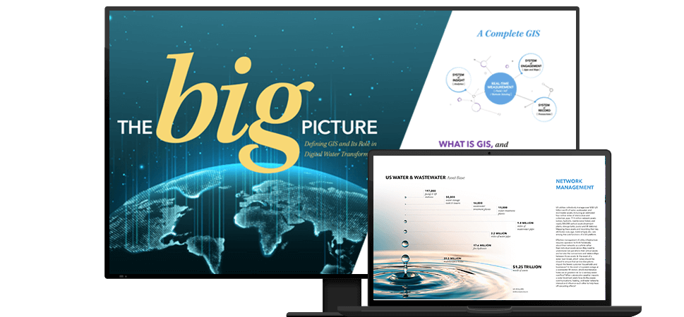
This report, created with Bluefield Research, discusses how GIS is uniquely suited to serve as the foundation for digital water transformation.
Data transparency for a community in action
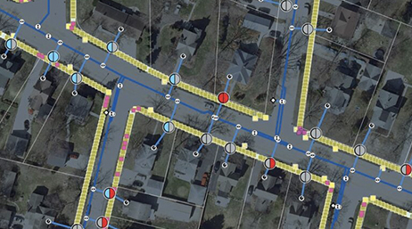
Going all in with ArcGIS Utility Network

Trading paper maps for ArcGIS apps
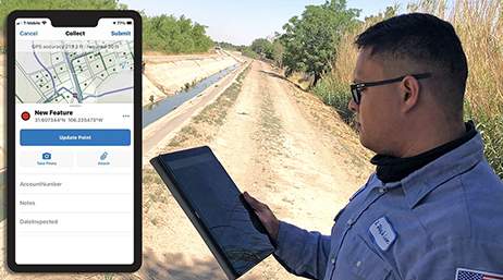
Texas water district becomes geospatially driven
In Tanzania, maps and apps boost productivity
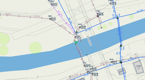
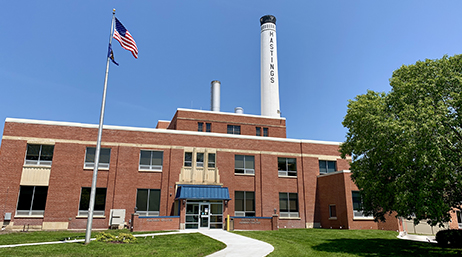
Modernizing water management in the Czech Republic
City uses ArcGIS Solutions to replace lead pipes
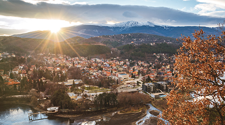
Updating utility workflows in Bulgaria
Esri water GIS heroes are members of the GIS community who use geospatial technology to create innovative solutions. These heroes meet challenges and inspire others to imagine how GIS can help them to do their work better.

Esri Community—customers, partners, Esri staff, and others in the GIS and geospatial community—connect, collaborate and share experiences. We invite you to join the conversation!

The Esri Infrastructure Management & GIS Conference (IMGIS) is a crossover virtual event bringing together GIS professionals who specialize in the management of infrastructure from several interconnected industry segments—water; electric; gas and pipeline; telecom; transportation; and architecture, engineering, and construction (AEC).
Whether you’re new to ArcGIS or a seasoned GIS professional who wants to master the latest technology, we have resources to help you achieve your goals.

The Esri Partner Network is a rich ecosystem of organizations that work together to amplify The Science of Where. Partners deliver solutions, content, and services helping you to meet your goals. Increase the value of your GIS with Esri Partners.