ArcGIS AllSource

ArcGIS AllSource

Intelligence analysis software for investigative, geospatial, and link analysis

Contact sales
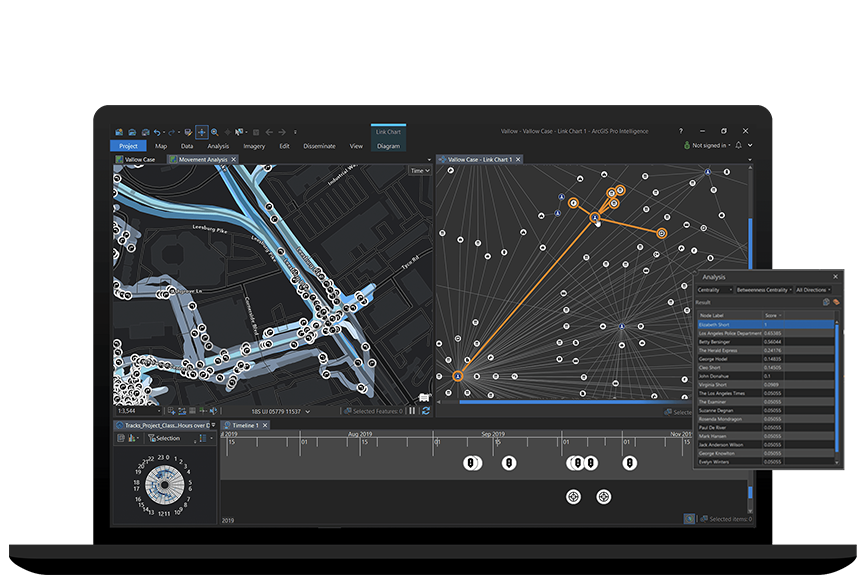
Laptop computer displaying multi-dimensional analysis in ArcGIS Pro Intelligence with digital maps and data points

Synthesize all sources of information

Fuse and explore location and time-based data for actionable intelligence

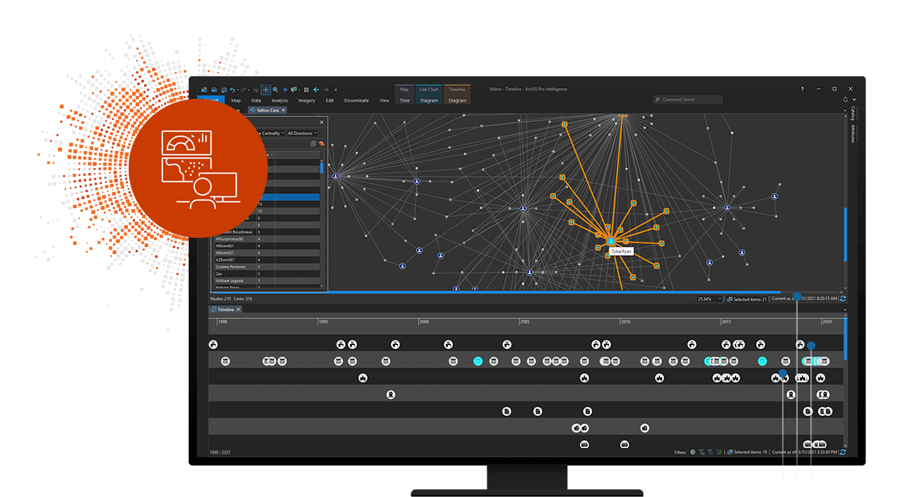
ArcGIS AllSource is intelligence analysis software built for intelligence analysts working in the military and in civilian intelligence agencies, law enforcement, and the private sector. Use link analysis, 2D and 3D maps, timelines, imagery exploitation, and graphs to uncover patterns, trends, and relationships in data to inform decision-making. ArcGIS AllSource scales to meet your mission whether you need to conduct movement analysis, understand patterns of life, or perform investigative analysis. ArcGIS AllSource is interoperable and extensible, supporting your data integration strategy across multiple domains in connected, disconnected, and air gapped networks.

Access a PDF of this web page

Intelligence analysis software that transforms raw data into decision support

Analysis and production

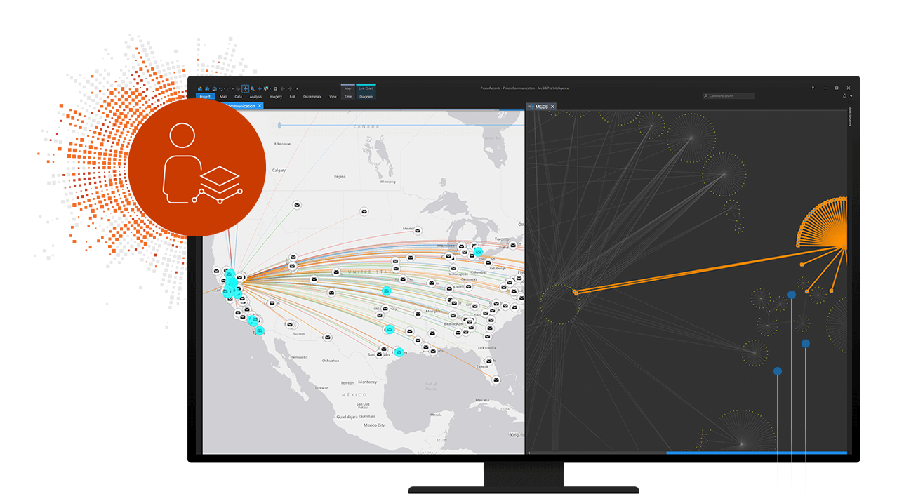
Seamlessly integrate a variety of data from multiple sources to conduct network visualization, advanced analysis, and intelligence production in one desktop environment. Share final assessments with stakeholders for informed decision-making.

A digital map of the United States with scattered data points next to a line graph with lines pointing in many directions,A digital map of the United States with scattered data points next to a line graph with lines pointing in many directions

Mission scalable

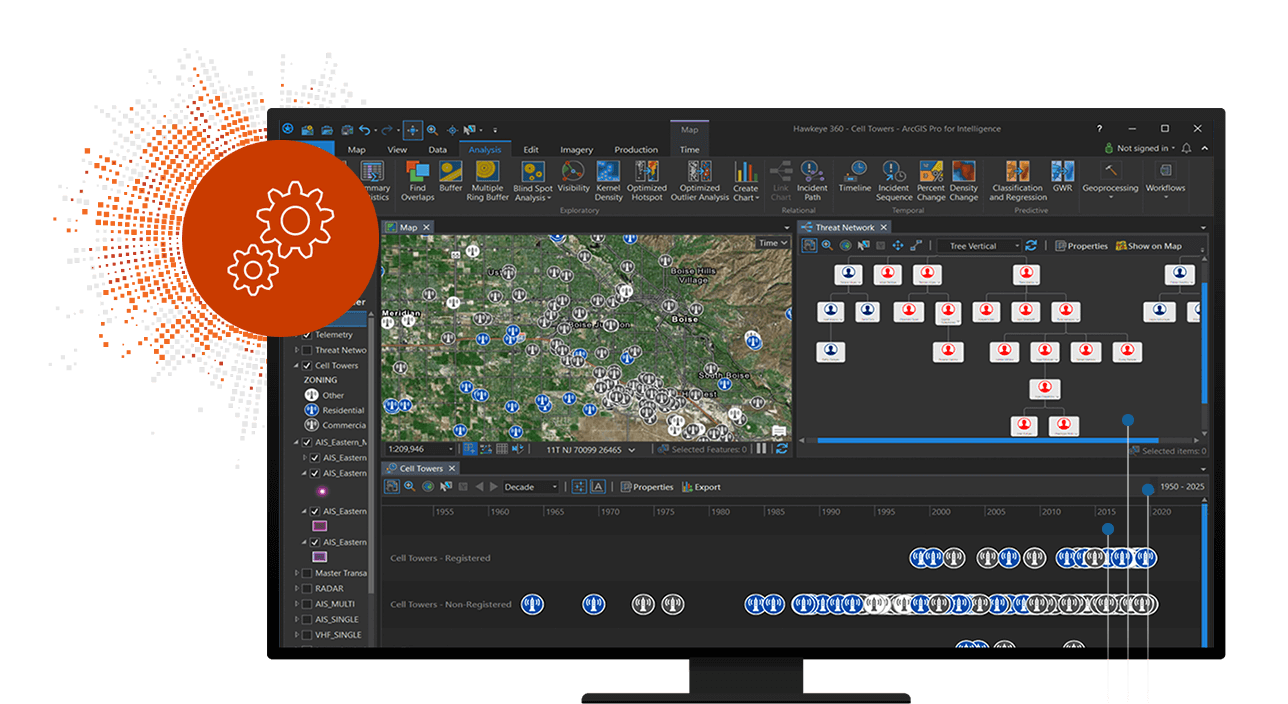
From headquarters to the edge, ArcGIS AllSource scales to support many missions. Use one system with focused tools for threat assessments, fraud detection, investigations, indications, and warnings.

A computer monitor showing a flow chart with boxes connected by lines and a topographic map with round scattered round icons,A computer monitor showing a flow chart with boxes connected by lines and a topographic map with round scattered round icons

Interoperable and extensible

ArcGIS AllSource integrates with your ArcGIS infrastructure, enabling intelligence professionals to access and use shared data. ArcGIS AllSource is interoperable and complies with industry standards, which makes it easier to leverage existing data sources, and can be extended to work with existing systems and applications.

A computer monitor showing a flow chart with boxes connected by lines and a topographic map with round scattered round icons,A computer monitor showing a flow chart with boxes connected by lines and a topographic map with round scattered round icons

How it works

Integrate data from multiple sources

Integrate data from many sources to conduct multidimensional visualization, advanced link analysis, and intelligence production in one desktop environment.
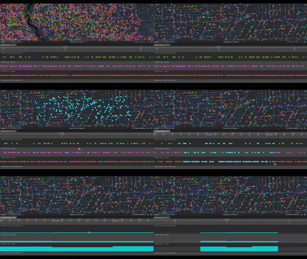
Scattered multi-colored dots on a map above green and red horizontal lines representing the selection of points on a map ,Scattered multi-colored dots on a map above green and red horizontal lines representing the selection of points on a map

Visualize your data

See your data in maps, link charts, graphs, timelines, and tables. Manage multiple simultaneous views in a single project-based workflow.
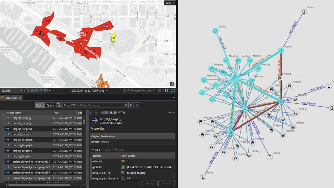
Application with gray map on the left showing buffered movement data next to a link chart with connected lines and points,Application with gray map on the left showing buffered movement data next to a link chart with connected lines and points

Analyze your data

Perform spatial, temporal, and relational data analysis to answer questions and forecast events for investigations and to support operations. 
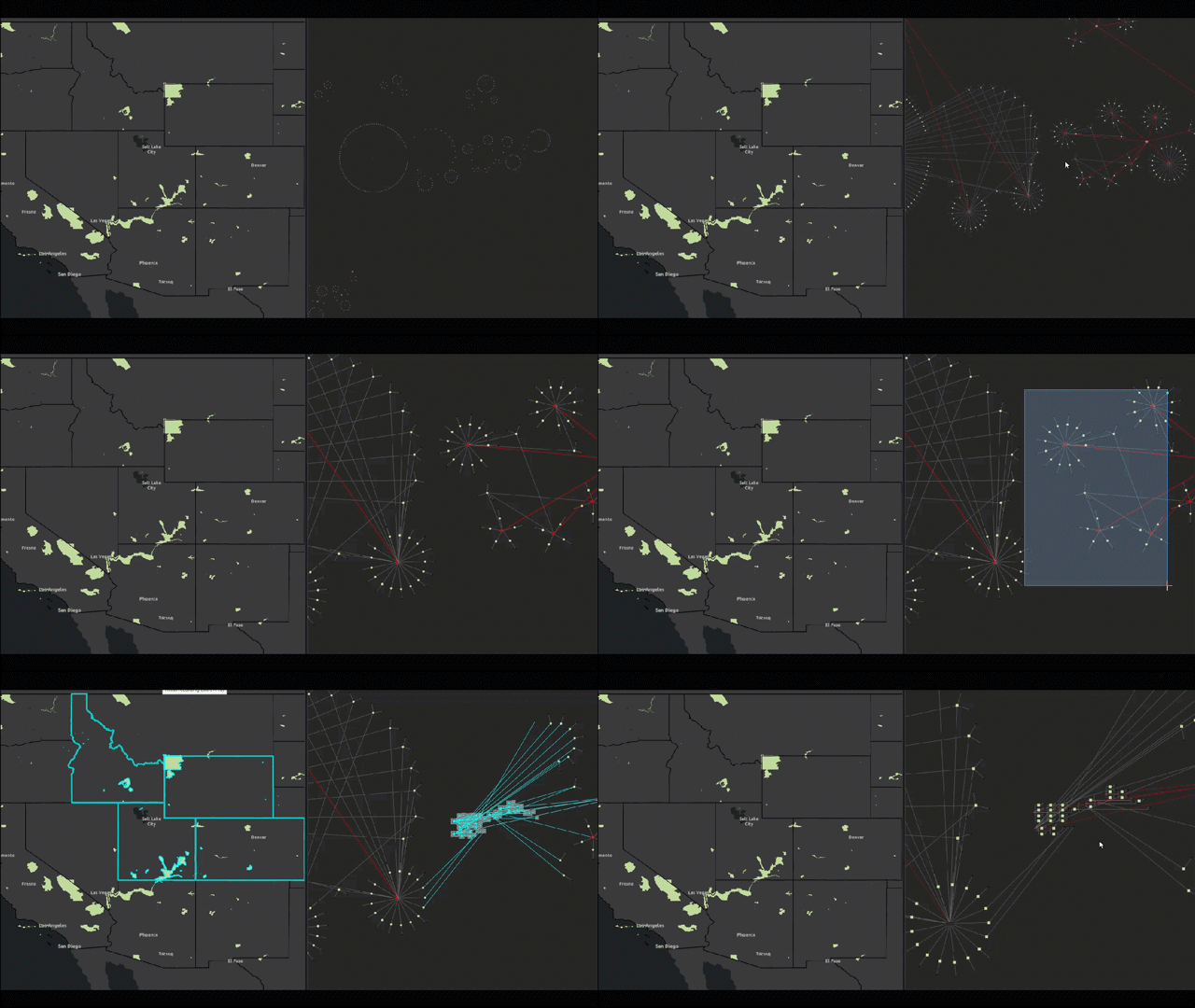
A dark colored map with areas highlighted in yellow representing the selection of a portion of a link chart and map updates,A dark colored map with areas highlighted in yellow representing the selection of a portion of a link chart and map updates

Share actionable intelligence

Share final assessments with stakeholders for informed decision-making. 
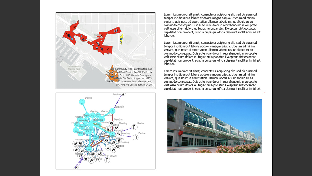
A report with text and a map of buffered movement data, a link chart with connected lines and points, and a building exterior,A report with text and a map of buffered movement data, a link chart with connected lines and points, and a building exterior

ARCGIS BLOG

ArcGIS AllSource: Revealing Opioid Diversion

ArcGIS AllSource helps reveal outliers in the spatial connection between physicians, pharmacies, and beneficiaries regarding opioid diversion.

Read the blog

Integrate seamlessly with ArcGIS

ArcGIS AllSource is intelligence analysis software that meets the critical mission needs of your organization and is powered by the ArcGIS system. Extend ArcGIS AllSource with these add-on capabilities.

ArcGIS Enterprise

ArcGIS Enterprise

Power ArcGIS AllSource, our intelligence analysis software, with ArcGIS Enterprise, the industry-leading geospatial technology.

Explore ArcGIS Enterprise
ArcGIS Knowledge

ArcGIS Knowledge

With ArcGIS Knowledge, you'll have an effective and flexible way to add enterprise knowledge graph service to ArcGIS AllSource and your existing ArcGIS investment.

Explore ArcGIS Knowledge
ArcGIS Mission

ArcGIS Mission

Meet the critical mission needs of your organization with real-time tactical team awareness enhanced with the intelligence information products of ArcGIS AllSource.

Explore ArcGIS Mission
ArcGIS Video Server

ArcGIS Video Server

Index, search, discover, and publish video services with geospatial and temporal context for advanced intelligence analysis within ArcGIS AllSource.

Explore ArcGIS Video Server

Need more information?

Contact sales

Email us at sales@esribelux.com

Email

Contact customer support

Visit our support page

Visit

Call us

Speak with a representative
32 (0)2 460 74 80