ArcGIS Data Interoperability

Simplify your geospatial data workflows

3D renderings of a volcano and workflow chart with formulas for ArcGIS

The ArcGIS Data Interoperability extension simplifies the complex process of data integration. With tools that support numerous data formats, you can easily convert, validate, and transform data. Our visual programming interface makes it easy to design and automate data movement between hundreds of systems and apps.

Work within the familiar ArcGIS geoprocessing environment, both on your desktop with ArcGIS Pro and across various platforms with ArcGIS Enterprise. Use these powerful ETL tools to make data accessible and integrate it flawlessly, regardless of the source. Optimise your data management and enhance your GIS capabilities with ArcGIS Data Interoperability.

Connect, transform, automate

Remove data format barriers

From CSV to JSON to S3, the georelational data you need can be anywhere. With a few clicks, bring your connected data sources to life by designing your transformations, implementing your logic, and moving your data where it needs to be.

Image of a data formula next to it's corresponding map

Work without coding

The Workbench application lets you diagram your business logic with hundreds of available transformations that are applied to streams of features that are connected how you want. Read any number of data sources, design their interaction or an analysis, then create or update the destination datasets you need.

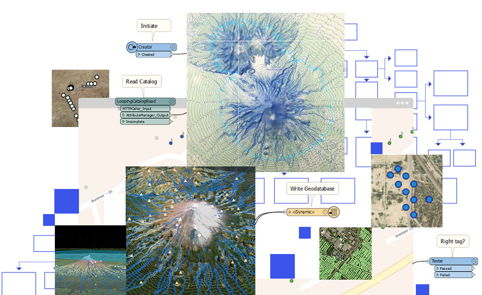
Prewritten commands for data in blue and gray boxes and brown map with white data points

Talk industry standards

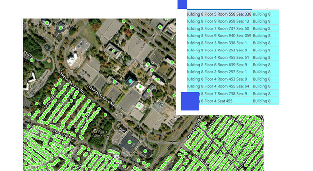
Governments use the Open Geospatial Consortium (OGC). Financial analysts use Microsoft Excel (XLSX). Business managers use customer relationship management (CRM). Engineers use CAD. Database administrators use SQL. Developers use REST. A variety of format choices are available for any industry you need to work with.

Aerial image of an office complex with green data points and building data

Synchronize data between systems

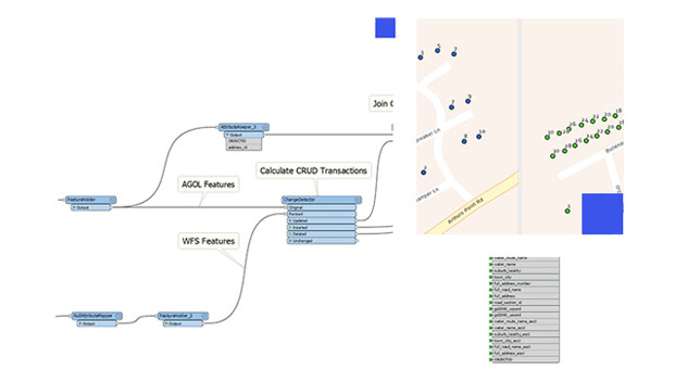
Automate synchronization between multiple systems with ease. Detect and move only changed records. Synchronize on demand or on a schedule.

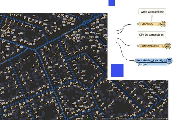
Formula to sync data updates with text in blue boxes and beige street map with blue and green data points

Work across the internet

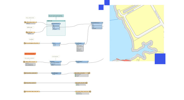
Data may be anywhere, including on premises, software as a service (SaaS), Amazon, Azure, A360, Google, HTTP, FTP, or Salesforce. Just connect and get the data moving where and how you want.

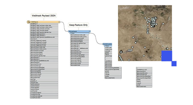
Workflow with text in blue and gray boxes connected with lines and a small yellow street map

Share your ETL as web tools

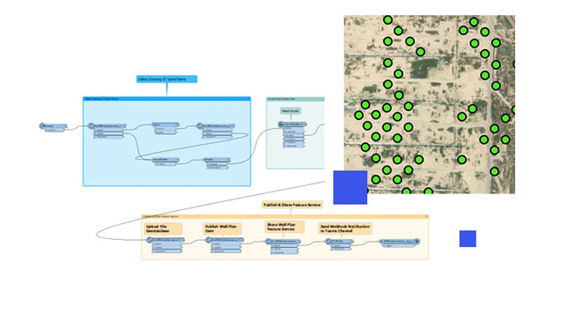
Scale and democratize your work by sharing extraction, transformation, and loading (ETL) tools to ArcGIS Enterprise. Web tools deliver data interoperability across your entire system.

Extract, transform, load, workflow with text in blue and beige boxes connected with lines and a map with green data points

How data interoperability works

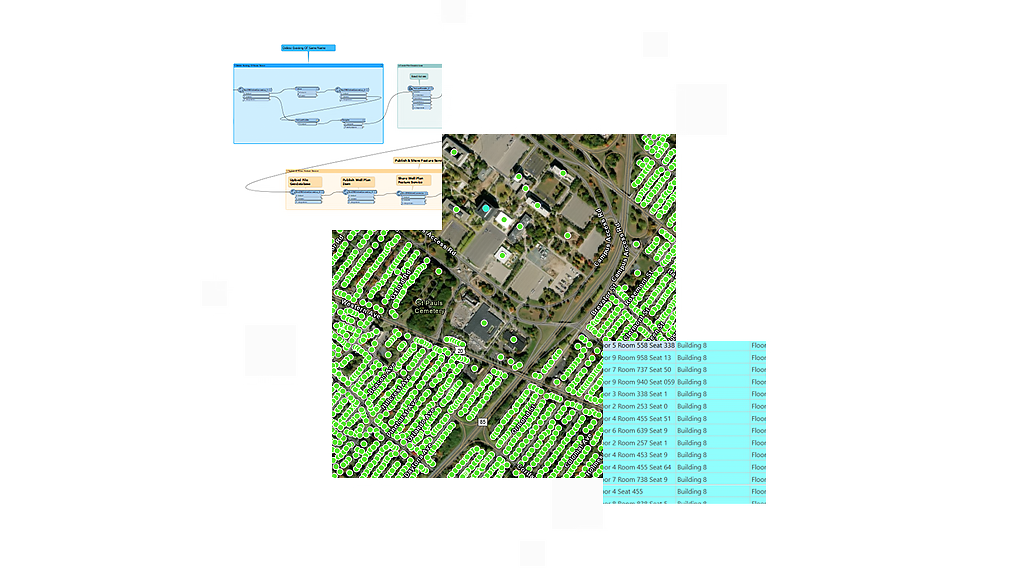
Aerial image of a building complex with green data points and a small box with building data and workflow chart

Connect

Install ArcGIS Data Interoperability to access hundreds of nonnative datasets.

Transform

Create Spatial ETL tools to geoprocess any data.

Automate

Use Spatial ETL tools as services.

Data interoperability in ArcGIS

The ArcGIS Data Interoperability extension for ArcGIS Pro and ArcGIS Enterprise ensures any data works in your ArcGIS workflows. Users can create their own tools using a no-code integration approach with Feature Manipulation Engine (FME) in ArcGIS.

ArcGIS Pro

ArcGIS Pro

ArcGIS Pro is a powerful desktop GIS application that offers data visualization, advanced analysis, and comprehensive data maintenance.

Discover ArcGIS Pro
ArcGIS Enterprise

ArcGIS Enterprise

ArcGIS Enterprise, a foundational system for GIS, runs behind the firewall, on premises, or in the cloud and powers comprehensive functionality via apps and add-on capabilities.

Learn about ArcGIS Enterprise

Need more information?

Contact sales

Email us at sales@esribelux.com

Email

Contact customer support

Visit our support page

Visit

Call us

Speak with a representative
32 (0)2 460 74 80