Robust GIS drone mapping software
How it works

Capture
Collect drone data using Site Scan Flight LE or any third-party drone data collection app.
Download and process
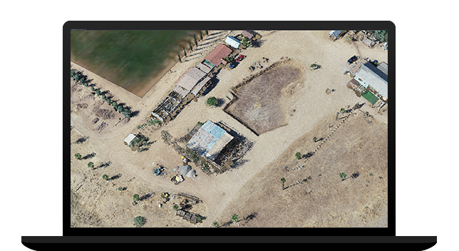
After the completed flight, create a project to download your drone imagery. Add ground control and automatically process to create 2D and 3D outputs.
Visualize and analyze
View 2D and 3D outputs. Make measurements, track changes, and perform other analyses within Drone2Map.
Perform advanced analysis
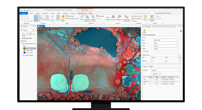
Open your project easily in ArcGIS Pro to use a range of tools such as advanced spatial, temporal, and spectral analysis and data management.
Share
Share your imagery outputs within your organization or with the public as feature layers, web maps, imagery layers, and more.
Site Scan Flight for ArcGIS Limited Edition iPad application
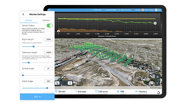
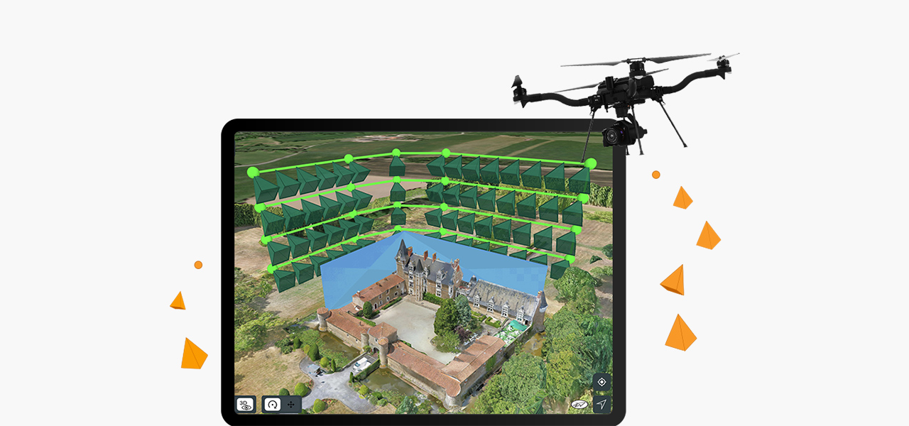
Built for ArcGIS Drone2Map users, Site Scan Flight for ArcGIS Limited Edition allows you to easily capture rich imagery using advanced drone flights. Capture complex sites using the Terrain Follow tool to ensure that a constant height aboveground is maintained, and Vertical or Perimeter Scan flight modes enable data collection around structures to create detailed 3D models. With built-in tools to execute repeatable, autonomous drone flights, choose the flight mode tailored to the specific site; obtain airspace authorizations; and display content from ArcGIS Online, like boundaries or obstacles, to help plan the mission.
ArcGIS Reality product suite
Explore the software applications that are a part of ArcGIS Reality. Find the reality mapping software that fits the size of your projects and the sensors you work with.
ArcGIS Reality for ArcGIS Pro
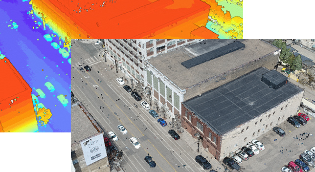
Use this extension to generate large-scale true DSMs, true orthos, DSM meshes, point clouds, and 3D meshes from satellite, aerial, and drone imagery.
ArcGIS Reality Studio
Explore this scalable, stand-alone application for citywide and countrywide reality mapping to create an important piece of 3D digital twins.
Site Scan for ArcGIS
Process large volumes of drone imagery faster with cloud-based data processing and create 2D and 3D maps and models that you can quickly share across your organization.
ArcGIS Reality and digital twins
Digital twins are representations of real-world objects and their processes and relationships. With ArcGIS Reality, users create highly accurate 3D meshes, true orthos, and point clouds to use as an important piece when developing 3D digital twins of social, natural, and built environments. Learn more about Esri’s 3D capabilities and how they relate to a comprehensive digital twin.

Need more information?
Email us
Questions about buying ArcGIS, pricing or need support? Email us at solutions@esribelux.com
Contact customer support
Visit our support page
Call us
Speak with a representative


