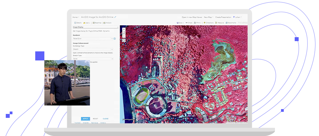
Skytec: Managing conservation with ArcGIS Image
Follow an end-to-end demonstration that shows how you can make decisions with up-to-date GIS data created from aerial, elevation, and lidar data.


Upload imagery and rasters into ArcGIS Online for secure storage and management.
Stream intelligent tiled imagery that’s performant and analysis ready. Serve dynamic imagery that offers on-the-fly processing and dynamic mosaicking.
Make sense of imagery and raster collections to understand climate change, urban sprawl, agriculture production, and more.
Questions about buying ArcGIS, pricing or need support? Email us at solutions@esribelux.com
Visit our support page
Speak with a representative