ArcGIS Image

ArcGIS Image

Harness the full power of imagery

Contact sales

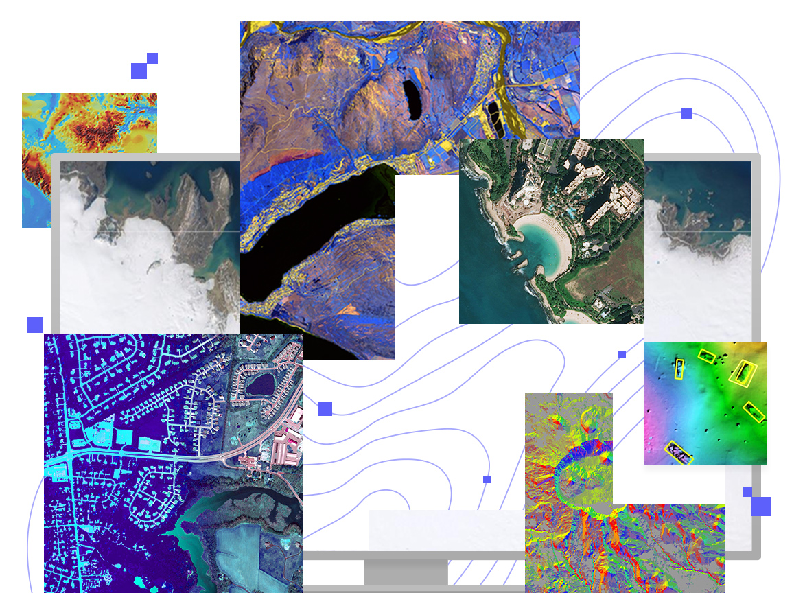
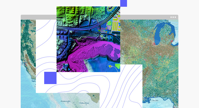
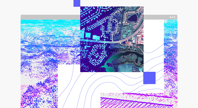
ArcGIS Image is a product suite that quickly integrates imagery into all your workflows. It empowers your organization to host, analyze and stream imagery and raster collections from their desktop, on premises, or in the cloud. Run image analysis and raster analytics at site, city, country, and global scales. Extract insights by performing analysis including classification, multidimensional, and advanced artificial intelligence (AI) workflows. Share the insights you gain with internal and external stakeholders as interactive apps, dashboards and reports to drive faster and more effective decision making.

Increase the value of imagery data

Discover how you can take control of your growing imagery collections to support better policy and business decisions with ArcGIS Image.

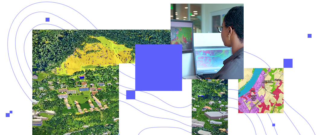
Two digital images of land and a woman looking at two computer monitors

What can you do with ArcGIS Image?

Précédent
Suivant

Deploy based on your organization's need

Desktop

ArcGIS Image Analyst for ArcGIS Pro is a comprehensive image analysis workstation that provides tools for advanced image interpretation, exploitation, and geospatial analysis on various imagery modalities. Automate and speed up workflows with a robust set of machine and deep learning tools, raster functions, and geoprocessing tools.

Explore ArcGIS Image Analyst
,

Enterprise

ArcGIS Image Server for ArcGIS Enterprise scales the hosting, analysis and streaming of massive imagery and raster collections. Use your powerful enterprise or cloud resources to scale raster analytics with parallel processing and distributed computing to quickly generate valuable imagery and data products.

Explore ArcGIS Image Server
,

Software as a service

ArcGIS Image for ArcGIS Online is a complete software as a service (SaaS) offering for hosting, analyzing, and streaming imagery and raster collections. Save on infrastructure costs and maintenance using a secure, scalable, and performant cloud environment that quickly integrates imagery into all your workflows.

Explore ArcGIS Image Online
,

Managed SaaS

ArcGIS Image Dedicated brings raster analytics and streaming capabilities directly to imagery in your Amazon Web Services or Microsoft Azure cloud environment. With this service, Esri will spin up dedicated servers next to your imagery to process, serve and analyze imagery so you don’t need to.

Explore ArcGIS Image Dedicated
,

Need more information?

Email us

Questions about buying ArcGIS, pricing or need support? Email us at solutions@esribelux.com

solutions@esribelux.com

Contact customer support

Visit our support page

Visit

Call us

Speak with a representative

32 (0)2 460 74 80