Fire, Rescue, and Emergency Medical Services

Optimize your department's response

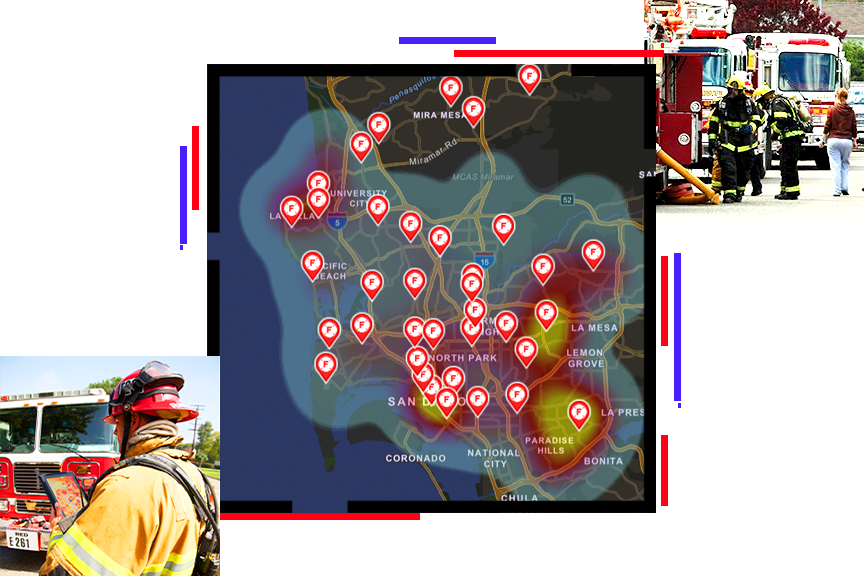
A heat map of a coastal area scattered with fire alert points, overlaid with two photos of fire trucks and personnel at work on city streets

Develop actionable intelligence for your agency

Expanding populations and extreme weather conditions have magnified the impact of emergency incidents that claim lives, destroy thousands of structures, prompt evacuations, and impact localities. Response and recovery require effective collaboration among the public safety community, federal and state agencies, and local governments. Esri's ArcGIS software offers a unique set of capabilities for applying location analytics to your preparedness, response, and recovery practices.

Précédent
Suivant

Modernize your department with GIS

Fire and EMS agencies around the world use spatial data to improve their planning, preparedness, response, risk reduction, and more. The health of a community depends on the effective operation of its public safety agencies, and geographic information system (GIS) technology can improve that effectiveness.

Learn how applying location intelligence to your operations can boost coordination across multiple levels of government and help you achieve better outcomes.

Download the free ebook
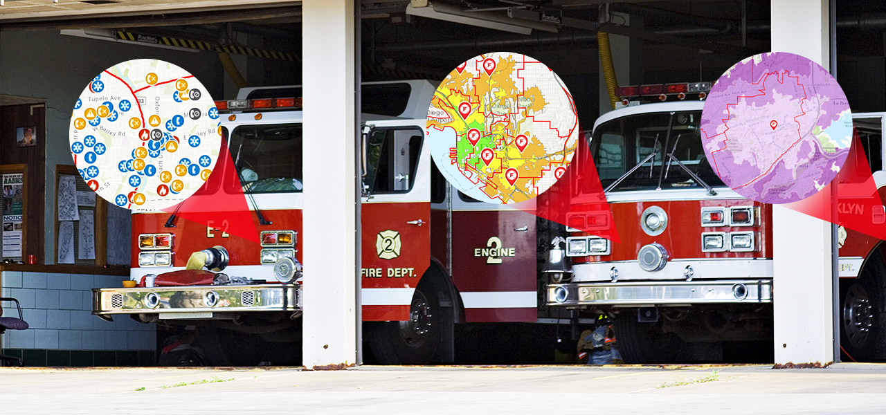
A photo of two red fire engines parked at the station, overlaid with three types of fire tracking maps in circular borders

Resources

Location is fundamental to the fire service and is used to make decisions that protect life and property. It influences preplanning activities and improves response capabilities.

Meet with the Esri public safety team

We invite you to learn more about geospatial data and technology for public safety. Request a meeting with one of our industry experts to learn more.

Request a meeting

Data analysis for fire and EMS

Learn how GIS solutions and data can be used to focus fire service efforts on continual improvement in reducing risk for responders and the identified population.

Read the technical paper

ArcGIS Solutions for the fire service

Use ArcGIS Solutions to understand risks, develop preincident plans, and improve actions taken in response to an incident.

View fire service solutions

Optimize Your Department's Response

Learn how organizations can leverage ArcGIS to perform data collection, analysis, operations support, and resource coordination.

Read the technical paper

Upcoming events

Stay up-to-date on trends, technology, and best practices related to GIS in public safety.

View upcoming events
View upcoming webinars
Person wearing glasses, seated at a desk, smiling and looking at a laptop screen

Fire, Rescue, and EMS Community

View the latest GIS news, user stories, and resources for fire, rescue, and EMS professionals. 

View news and resources
Two people sitting in a coffee shop working with GIS software on a tablet and laptop

Related public safety industries

Précédent
Suivant
Public safety sector overview

Contact sales

Contact us

Outside the United States

Connect with the Esri public safety team