
Gas Utilities
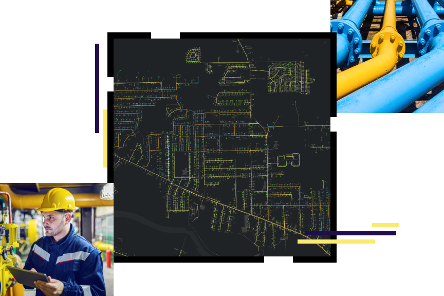
A comprehensive GIS—more than utility mapping
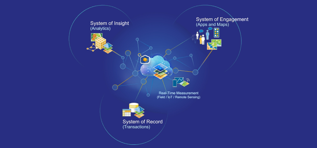
ArcGIS is a comprehensive GIS for gas utilities. It contains all the elements needed to meet utility challenges and maintains key information for natural gas distribution mapping and analysis. This technology suite also simplifies sharing analysis with everyone who needs business intelligence through a system of record, a system of engagement, and a system of insight.
Gas utilities business areas
Précédent
Suivant
Gas utility initiatives
Esri IMGIS
Attend Esri’s Infrastructure Management GIS Conference (IMGIS) October 28–30, 2025, in Palm Springs, California.
Explore real-world case studies, experiential workshops, and expert-led technical sessions across the electric, gas, water, telecommunications, and AEC industries. You'll make valuable connections and leave with actionable insights to drive innovation in your organization.

Our community
Find out how your peers are using Esri technology to achieve their goals.