National Maritime and Hydrography

Modernizing the maritime industry to support informed decisions

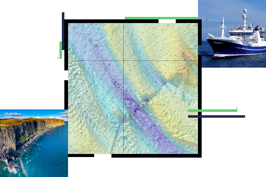
A contour map in yellow and violet, overlaid with a small picture of a ship in peaceful blue waters and an aerial photo of a pastoral oceanfront cliffside

National maritime and hydrographic organizations are tasked with improving hydrography and safe navigation at sea. A nation's marine environment is vast and dynamic, and it's an important resource for a thriving marine, or blue, economy.


The key to a country's success with a blue economy is a hydrographic office enabled with modern GIS technology. When hydrographic office staff use Esri GIS technology for innovative data collection, data management, and the dissemination of authoritative and foundational maritime information, they support strong national economic development.

Create a stronger foundation for maritime information

The maritime sector for modern governments uses GIS to support national missions in three fundamental ways: increasing Safety of Life at Sea (SOLAS), improving decision-making processes, and driving economic benefits.

National hydrographic offices use ArcGIS to perform the following:

  • Collect and manage observation data in the marine environment
  • Produce authoritative maritime information, including navigation products
  • Share information to ensure national prosperity and growth using a Marine Spatial Data Infrastructure (MSDI)
More on modernizing maritime
A person sitting at a desk in an office, working on a computer that displays a vibrant topographic map

National maritime and hydrography strategies

Précédent
Suivant

National maritime webinars and events

National maritime and hydrographic authorities need to stay up-to-date with the latest national modernization trends, technology, and information. Attend one of our informative webinars or speak to one of our national maritime industry experts at an event.

View webinars and events
A person looking at an identification card at an event booth with a person in the foreground accessing a computer

Our community

Find out how your peers are using Esri technology to achieve their goals.

Explore stories and resources
Two people sitting in a coffee shop working with GIS software on a tablet and laptop

Related mapping and charting industries

The complete picture of a nation's land, sea, and air mapping and charting is achieved in collaboration with national maritime, aviation, land record and cadastre, and official statistical authorities.

Précédent
Suivant

Contact us to get started

Connect with the Esri national maritime team