Latest GIS-tips
ArcGIS now hosts Road LiDAR data
November 28,2022 - Press release When combining ArcGIS, the world’s most powerful mapping spatial analytics software from Esri, and the digital data from [...]
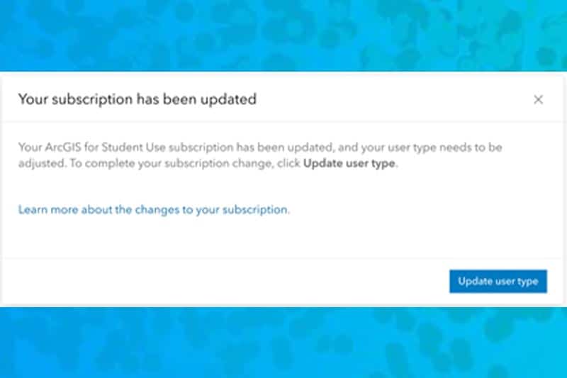
What changes were made to Personal and Student Use subscriptions on July 20, 2021
Changes The default user type is now GIS Professional Advanced instead of Creator The default user type is now GIS Professional Advanced ArcGIS [...]
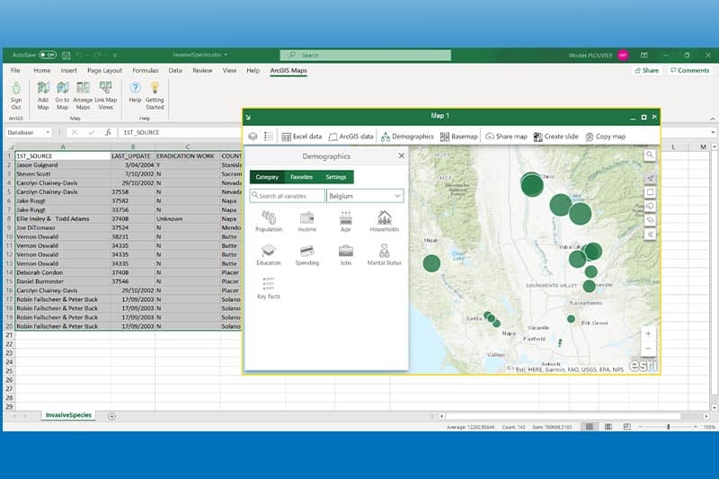
Using ArcGIS in Microsoft Office
Discover the possibilities ArcGIS Maps for Office allows for the perfect integration between Microsoft Office and ArcGIS software. With this free downloadable [...]
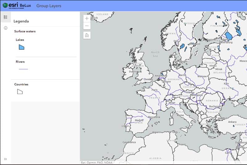
Grouping layers in ArcGIS Online is now possible
Discover the possibilities With the new ArcGIS Online release (9.1), grouping layers in ArcGIS Online is available and supported. The new Map [...]
Our latest events about GIS
Esri Days 2020 Kick-off meeting was a success
Kick-off October 29th Thanks to all participants yesterday at this first fully virtual Esri Days. We are happy that you were so many [...]
Esri Infrastructure Management & GIS Conference 2020
Join us virtualy Join us at the crossover virtual event, Esri Infrastructure Management & GIS Conference (Esri IMGIS) October 27 - 30,2020. This [...]
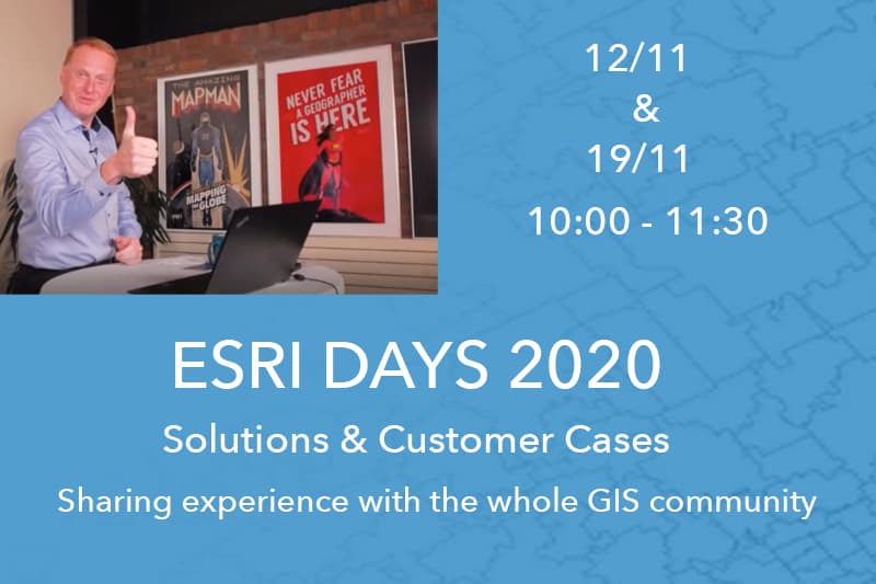
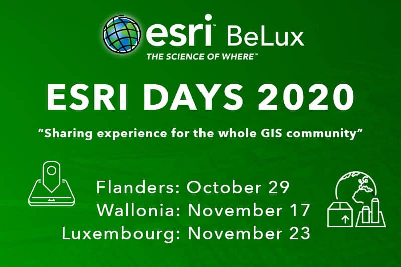
Esri Days 2020 – Register now
Sharing experience for the whole GIS community As every year, we will also organize this year our Esri days. The Esri days are [...]
MUNICIPALIA – Le Salon des mandataires
Become smarter by the power of spatial data Esri Belux invites you to MUNICIPALIA - 'Le Salon des mandataires' - WEX of Marche-En-Famenne, [...]
Discover more GIS news
Agreement between 1Spatial and Esri
An agreement has been concluded between 1Spatial and esri. Jack Dangermond, CEO of Esri, said: “This agreement is great news for our continued [...]
Cadastre du Commerce
CLC has chosen the ArcGIS solution to implement its GIS "Cadastre du Commerce". ArcGIS will make it possible to inventory businesses in the [...]
Storymap for a healthy lifestyle
Importance of a healthy diet and lifestyle Esri Belux has developed several concrete activities with European Commission in 2018. The school scheme, funded [...]
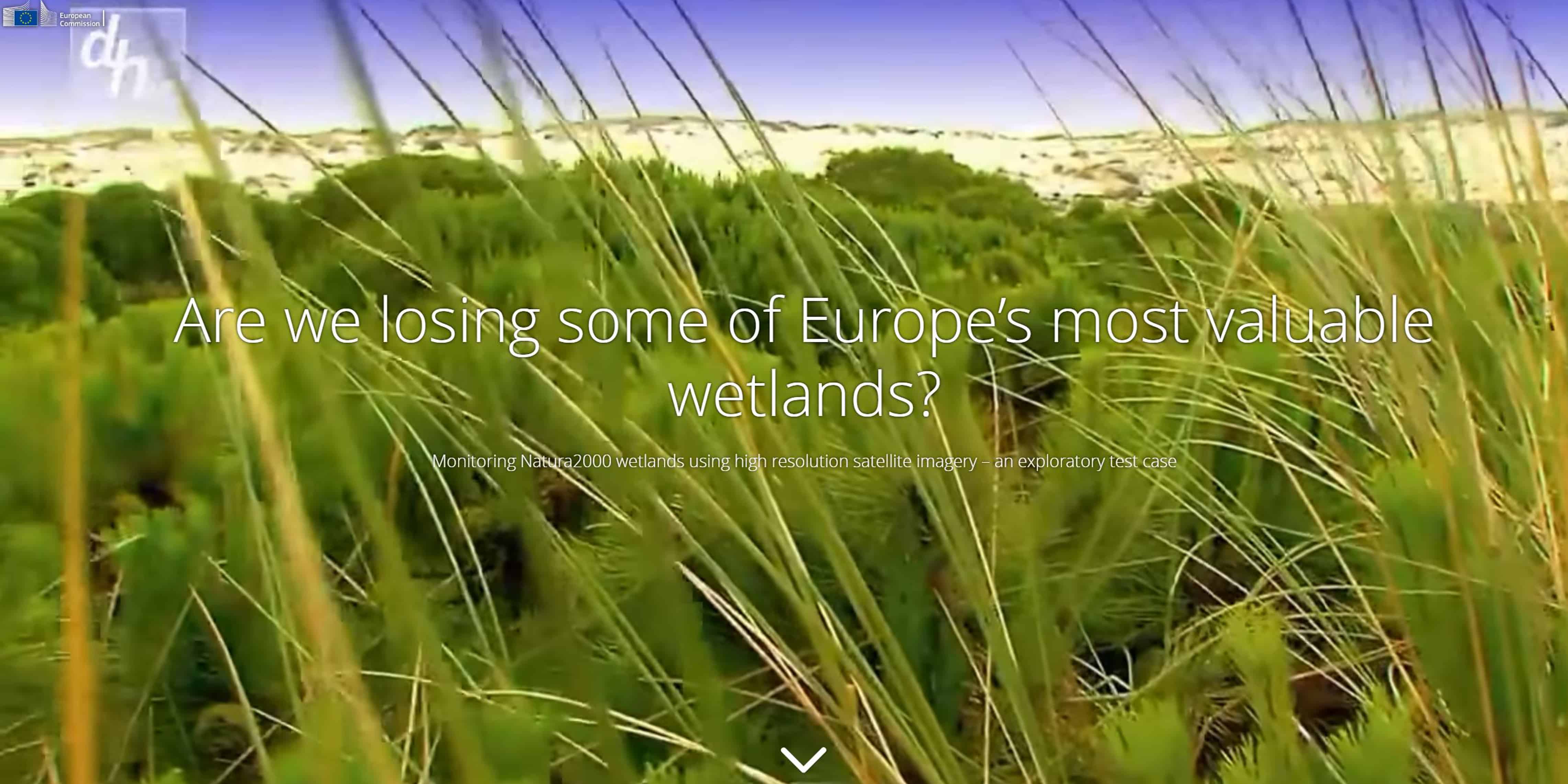
Storymap – Nature 2000 wetlands
Discover the Nature 2000 sites Natura 2000 is the EU-wide network of protected areas set-up under the EU Birds and Habitats Directives. The [...]
Connected Garbage Cans
Pilot Project Wallonie Plus Propre started a pilot project and that will last one year and will be conducted simultaneously in 4 cities [...]
Migrating from ArcMap to ArcGIS Pro (2 day training)
How to migrate? During this course you will learn how to efficiently migrate your data from ArcMap to ArcGIS Pro. A lot of [...]
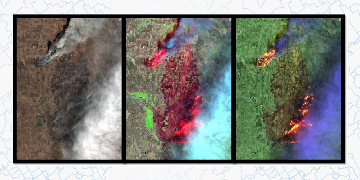
Sentinel-2 – More Than Meets the Eye
Welcome to the ArcGIS Living Atlas of the World Every day we take in visual cues and make observations of the world around [...]
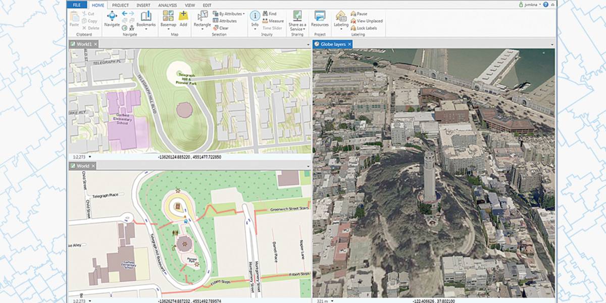
What’s new in ArcGIS Pro 2.2
Video overview This video compilation was created by ArcGIS Pro development teams to highlight new functionality specific to this release. Learn more about this update [...]


