
What’s new in ArcGIS Drone2Map 2023.2
Learn about the latest enhancements and new features, including a new inspection workflow, catalog datasets, and more.
Experience what's possible with curated collections of guided tutorials.
Explore the capabilities of ArcGIS Drone2Map by learning how to process and analyze drone imagery.
What’s new in ArcGIS Drone2Map 2023.2

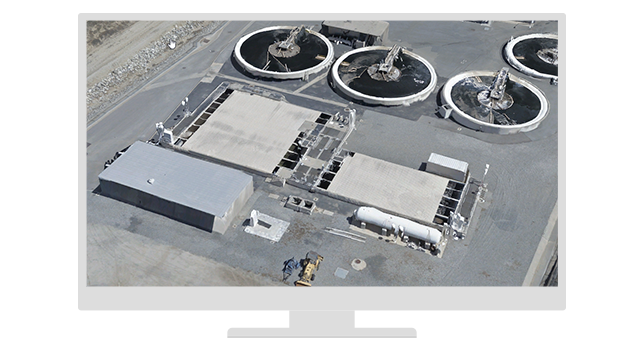
Tips for capturing drone data for Drone2Map

Introducing ArcGIS Drone2Map Standard and Advanced
Find answers and information so you can complete your projects.
Start processing images and performing drone analytics with a free trial. Experience a range of tools and capabilities that enable you to perform accurate mapping and geospatial analysis on your drone data.