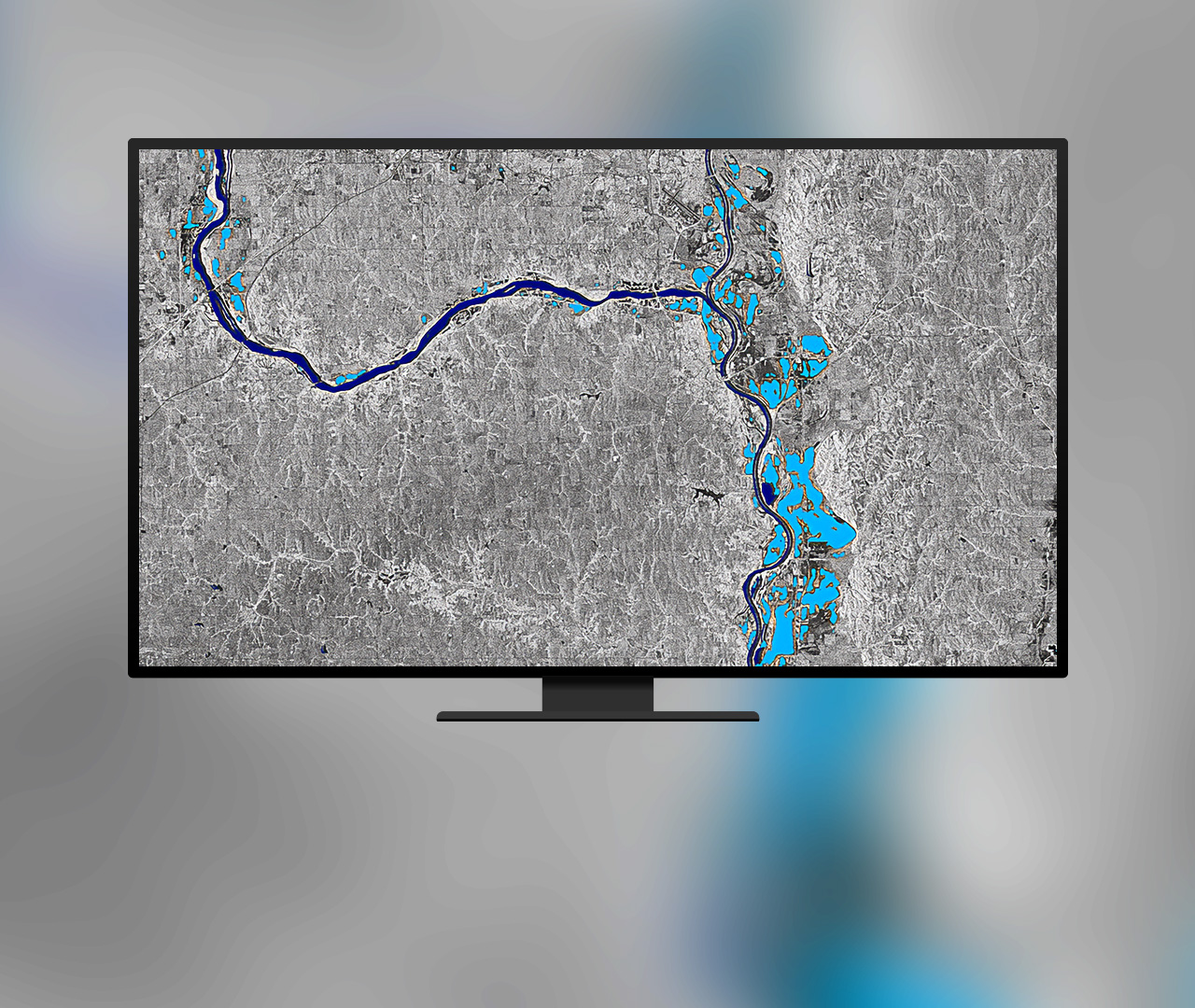
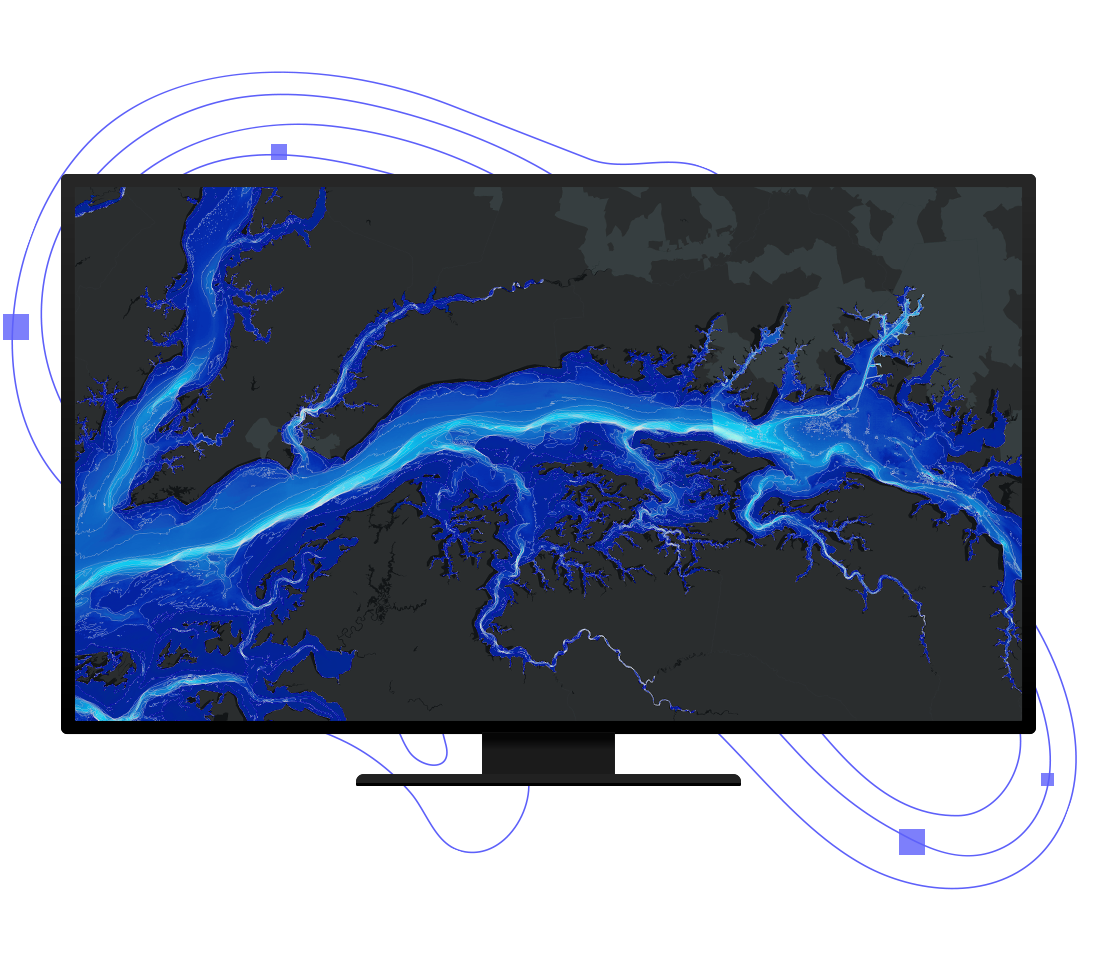
What can you do with ArcGIS Image Analyst?
ArcGIS Image Analyst expands your arsenal of advanced imagery tools and user experiences to improve and simplify workflows.
How ArcGIS Image Analyst works
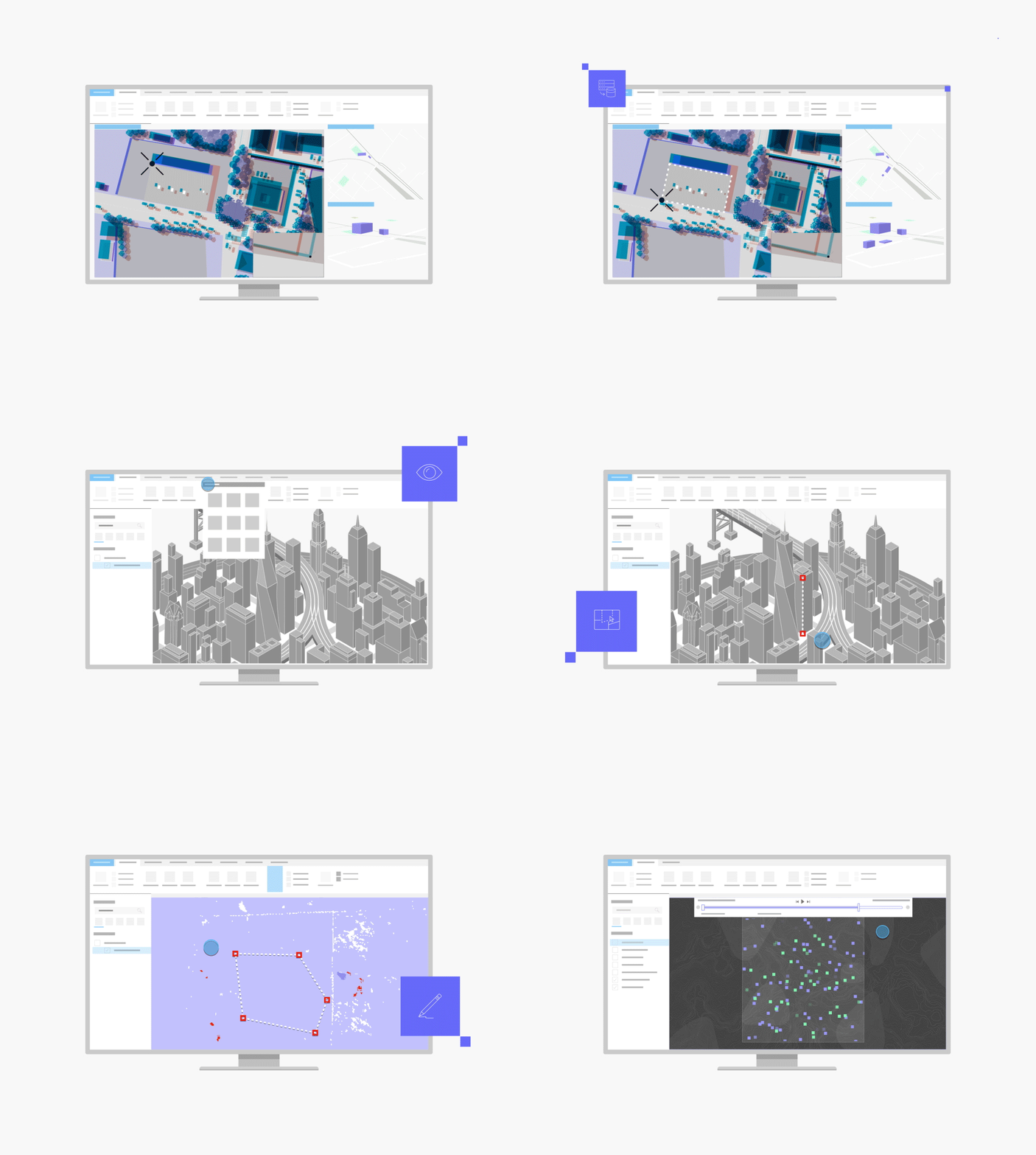
Bring in data
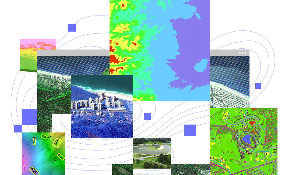
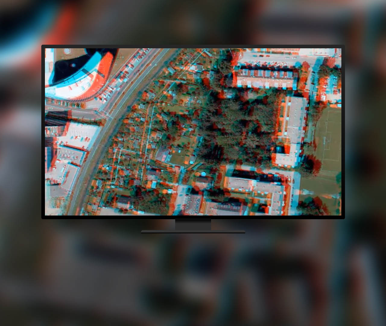
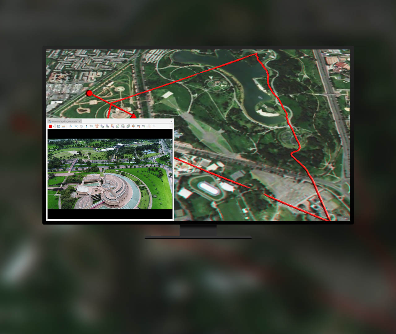
Work with different spatial, spectral, and temporal resolutions. Combine nadir, oblique, video, multidimensional, and stereo imagery with GIS data.
Visualize
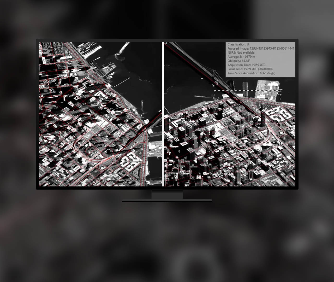
With image space analysis, see imagery from the sensor's view with georeferenced features and map data projected onto the imagery in image space.
Extract
A collection of mensuration tools allows you to take height, distance, point, angle, perimeter, and area measurements.
Edit
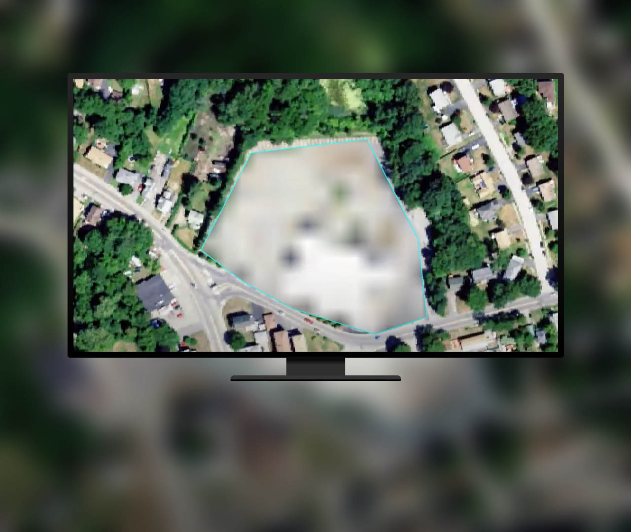
Clean up image classification results, edit elevation values in a digital elevation model, and redact sensitive areas from imagery.
Analyze
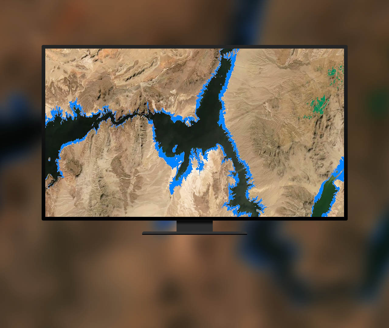
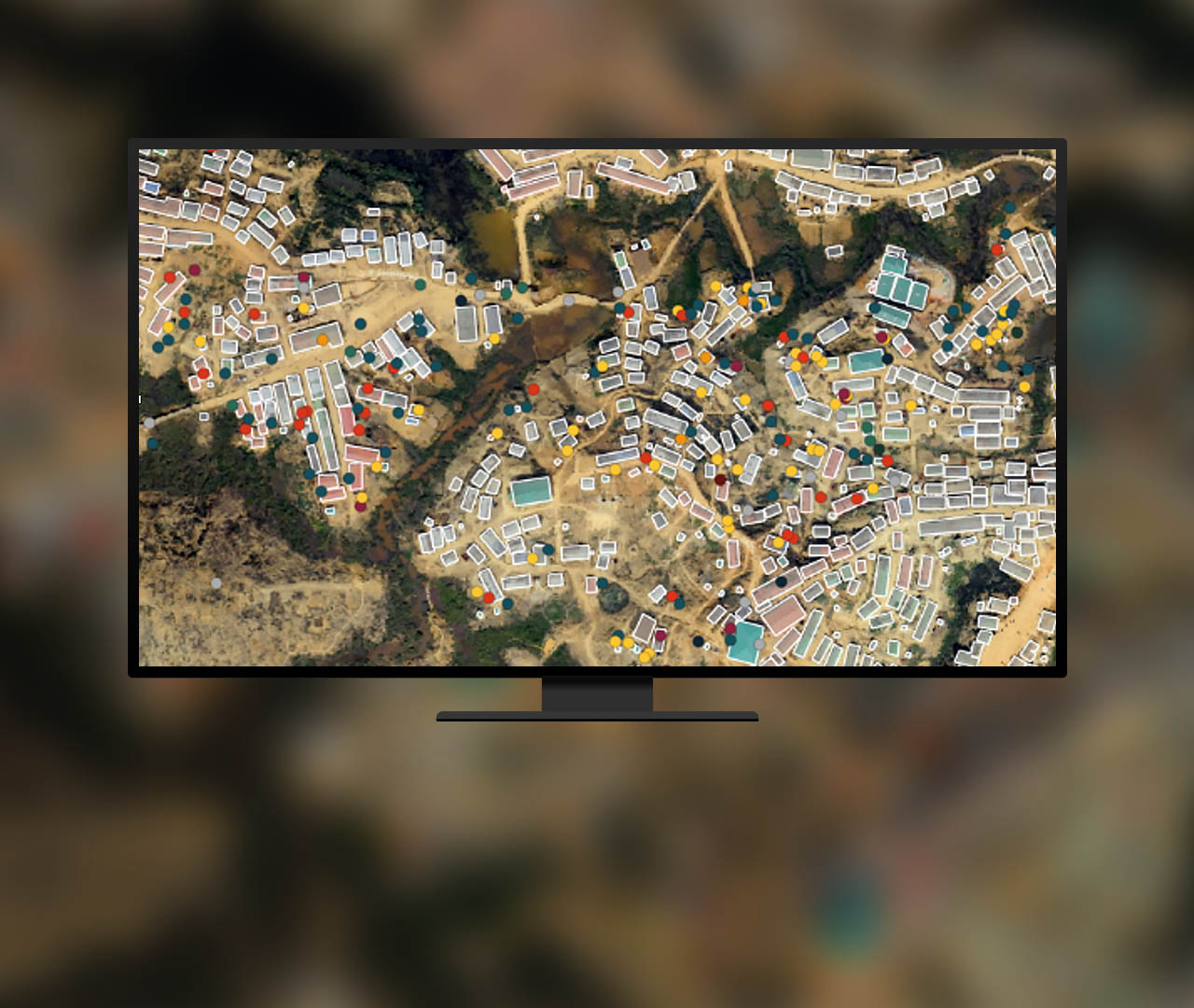
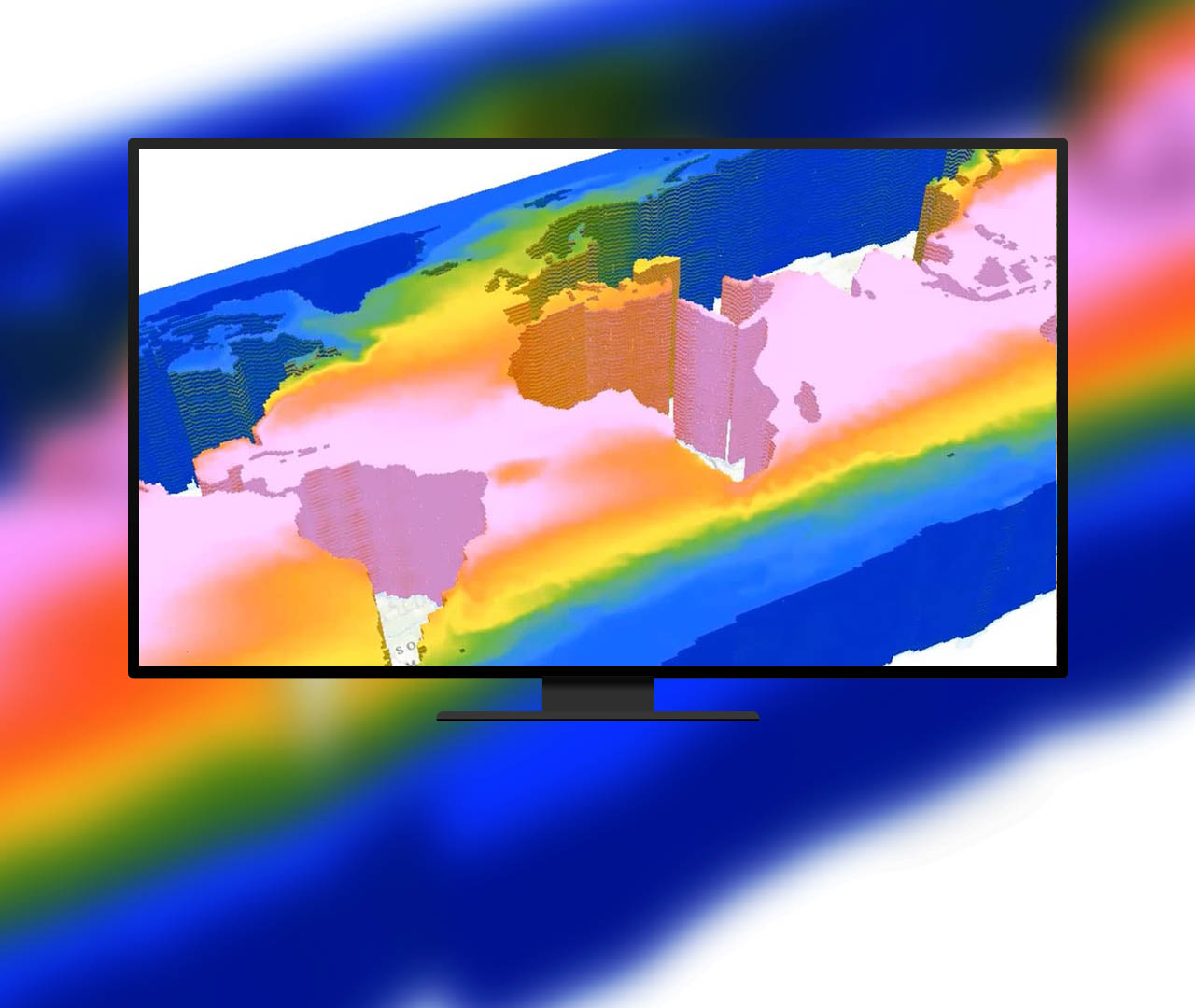
Use tools specifically crafted for advanced image analysis such as machine learning, deep learning, multidimensional analysis, and change analysis.
Pricing
ArcGIS Image Analyst is image analysis software for ArcGIS Pro. ArcGIS Image Analyst adds advanced visualization, exploitation, and analysis tools to unlock insights from images.
Resources
Contact sales
Please share your information, and our sales team will contact you soon. We look forward to communicating with you.
