
Skytec: Managing conservation with ArcGIS Image
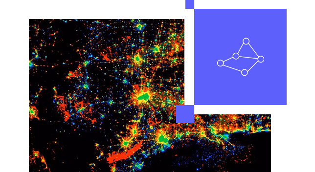
Skytec’s Ranger app remotely monitors land using cloud-based imagery and notifies users when changes occur, saving time and reducing costs.
Imagery hosting, streaming, and analysis in the cloud
Follow an end-to-end demonstration that shows how you can make decisions with up-to-date GIS data created from aerial, elevation, and lidar data.

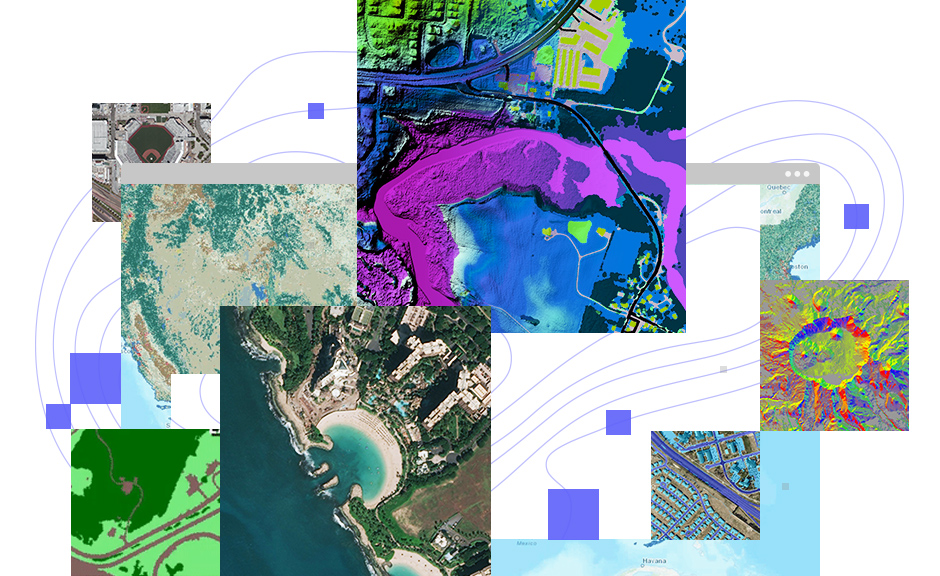
Scale imagery and raster data so hundreds or even millions of people can interact with them at the same time. Stream imagery of large construction sites, cityscapes, and entire regions, as well as post event imagery, rectified scenes, ortho mosaics, elevation, multidimensional or categorical rasters. Grant permissions to what can be consumed.

Host, analyze, and stream imagery and rasters without infrastructure. Meets your IT requirements including security, authentication, and privacy. ArcGIS Online provides logging and other advanced reports so you can keep up with your organization's activities. You can also integrate your organization-specific login.


Save on infrastructure costs and maintenance using a secure, scalable, and performant cloud environment managed by Esri. The cost to store imagery is fixed, and there is no additional charge for accessing your tiled imagery, so even if the imagery goes viral your costs do not change.
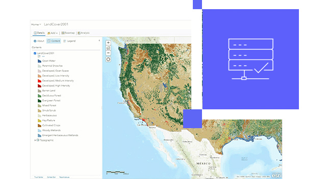

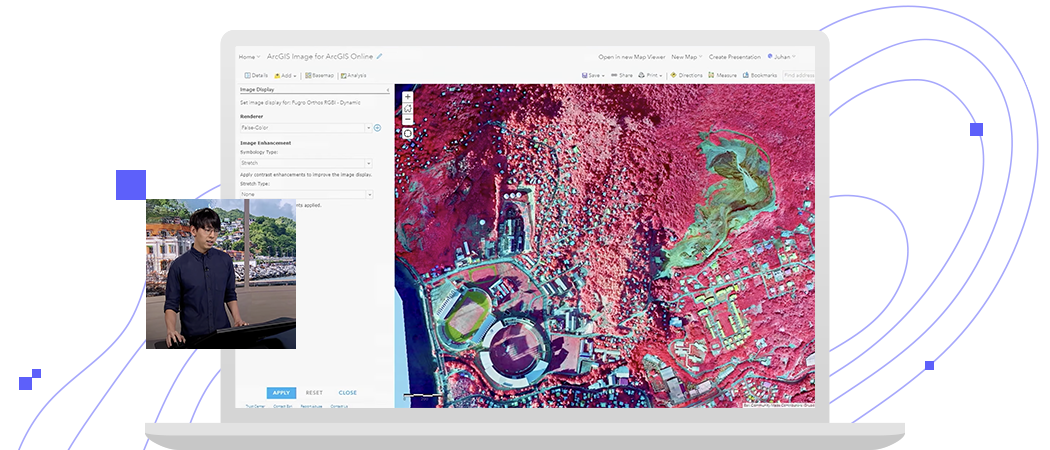
Manage all your imagery and rasters with a simple four-step web experience. ArcGIS Image supports all forms of imagery and rasters, standard projections and multiple metadata sensors, and collection platforms. To ensure images are ready to use, the metadata associated with your imagery remains intact.
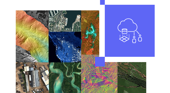

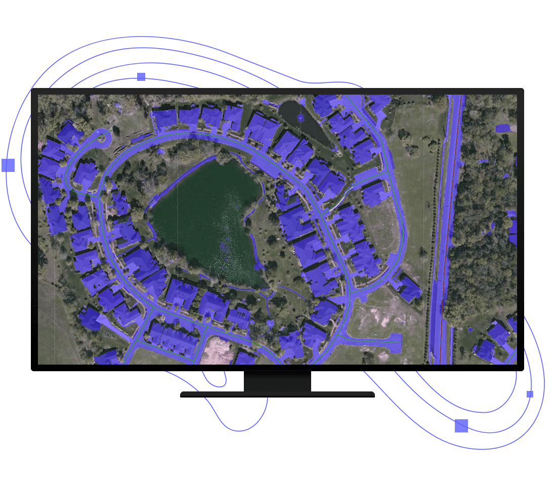
Perform powerful image and raster analytic workflows at scale. Benefit from an intuitive web experience or opt for a rich ArcGIS API for Python that provides the flexibility to develop custom raster functions. Take advantage of our integration with open source AI tools and frameworks to perform pixel classification, object detection, and object classification.

Upload imagery and rasters into ArcGIS Online for secure storage and management.
Stream intelligent tiled imagery that’s performant and analysis ready. Serve dynamic imagery that offers on-the-fly processing and dynamic mosaicking.
Make sense of imagery and raster collections to understand climate change, urban sprawl, agriculture production, and more.
Skytec: Managing conservation with ArcGIS Image
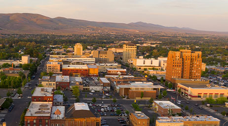
City of Yakima: Enhancing city services
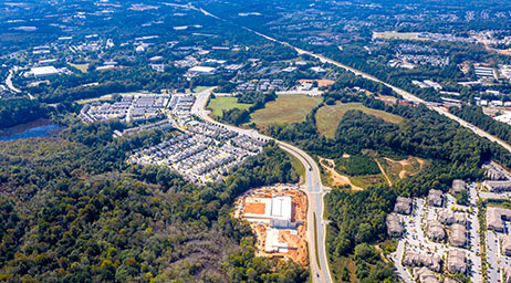
John Creek: Digitizing city maps with ArcGIS Image
ArcGIS Image for ArcGIS Online is a user type extension that adds imagery hosting, streaming of tiled and dynamic imagery layers, and analysis capabilities to the Creator and GIS Professional user types.
Please share your information, and our sales team will contact you soon. We look forward to communicating with you.