Enroute charts
Enroute charts provide flight crews with the information they need for IFR navigation along the global airway network.
View chart products configured using ArcGIS Aviation Charting
Apply preconfigured templates to produce compliant VFR and IFR charts. The charts below were created using the templates and tools available in ArcGIS Aviation Charting without any customization or additional configuration.
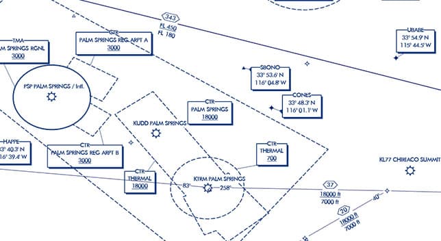
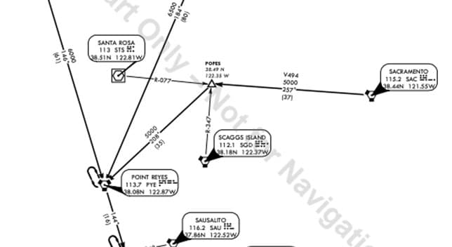
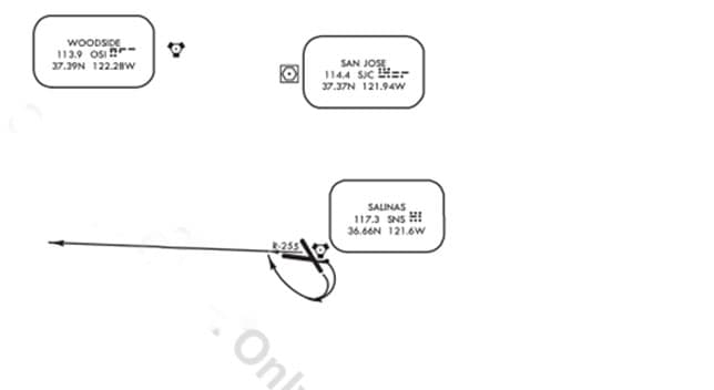
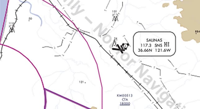
Enroute charts
Standard Terminal Arrival (STAR) Charts
Standard Instrument Departure (SID) charts
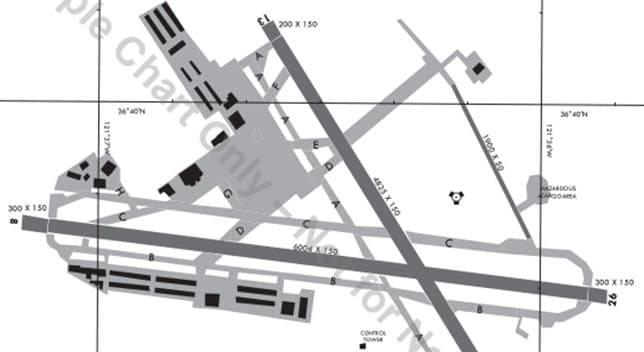
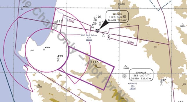
Aerodrome charts
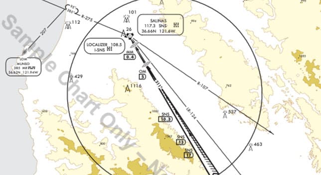
Instrument approach charts
Radar Minimum Altitude Charts
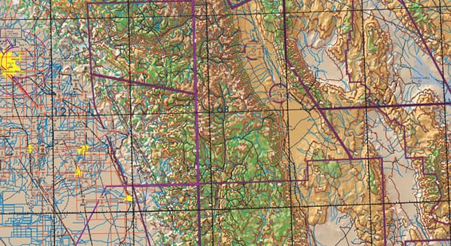
VFR charts
Visual Approach Chart
ArcGIS Aviation Charting provides preconfigured templates and business rules to meet your specific needs for aeronautical charts and drive your production environment to create VFR, IFR, and aerodrome charts. The following are examples of Esri customer-produced charts.
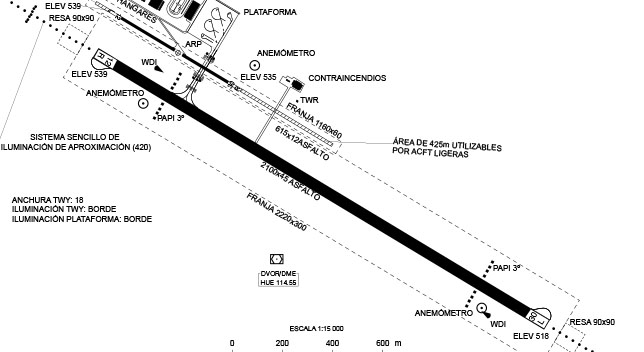
Aerodrome chart
Submitted by ENAIRE
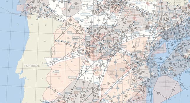
Enroute chart
Submitted by ENAIRE
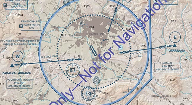
Visual Approach Chart
Submitted by ENAIRE
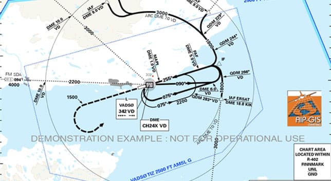
Instrument approach chart
Submitted by Avinor
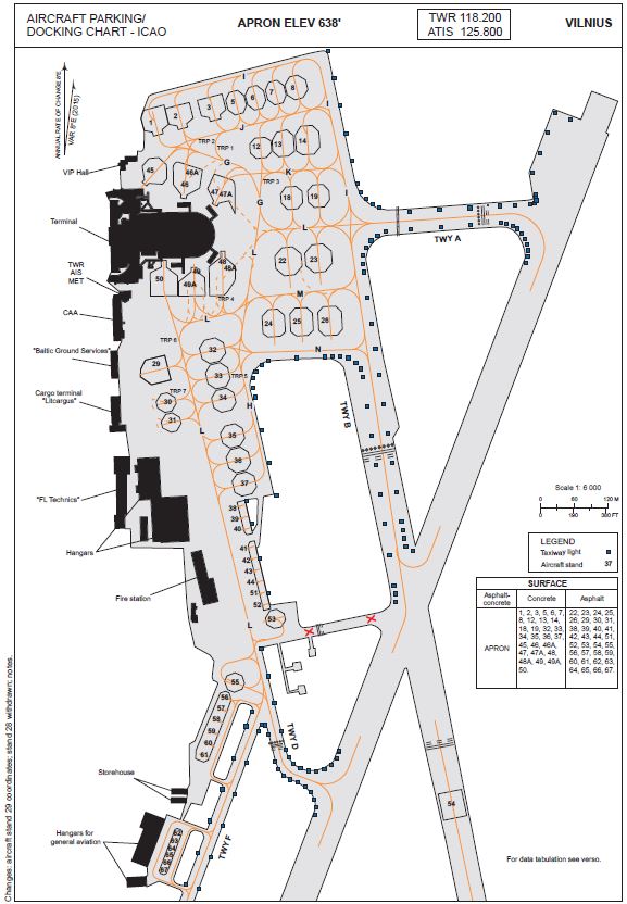
Aircraft parking/Docking chart
Submitted by State Enterprise Oro Navigacija
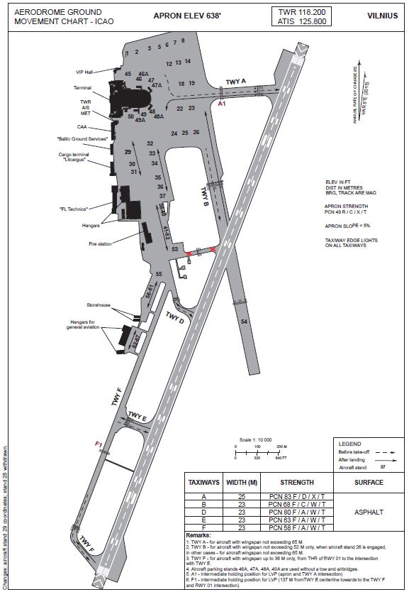
Aerodrome Ground Movement Chart
Submitted by State Enterprise Oro Navigacija
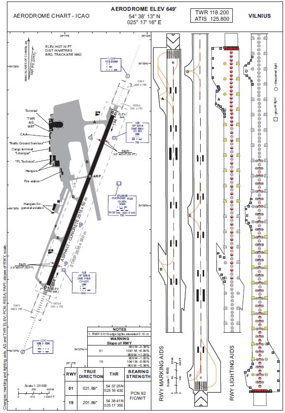
Aerodrome chart
Submitted by State Enterprise Oro Navigacija
Please share your information, and our sales team will contact you soon. We look forward to communicating with you.