WVI knowledge day
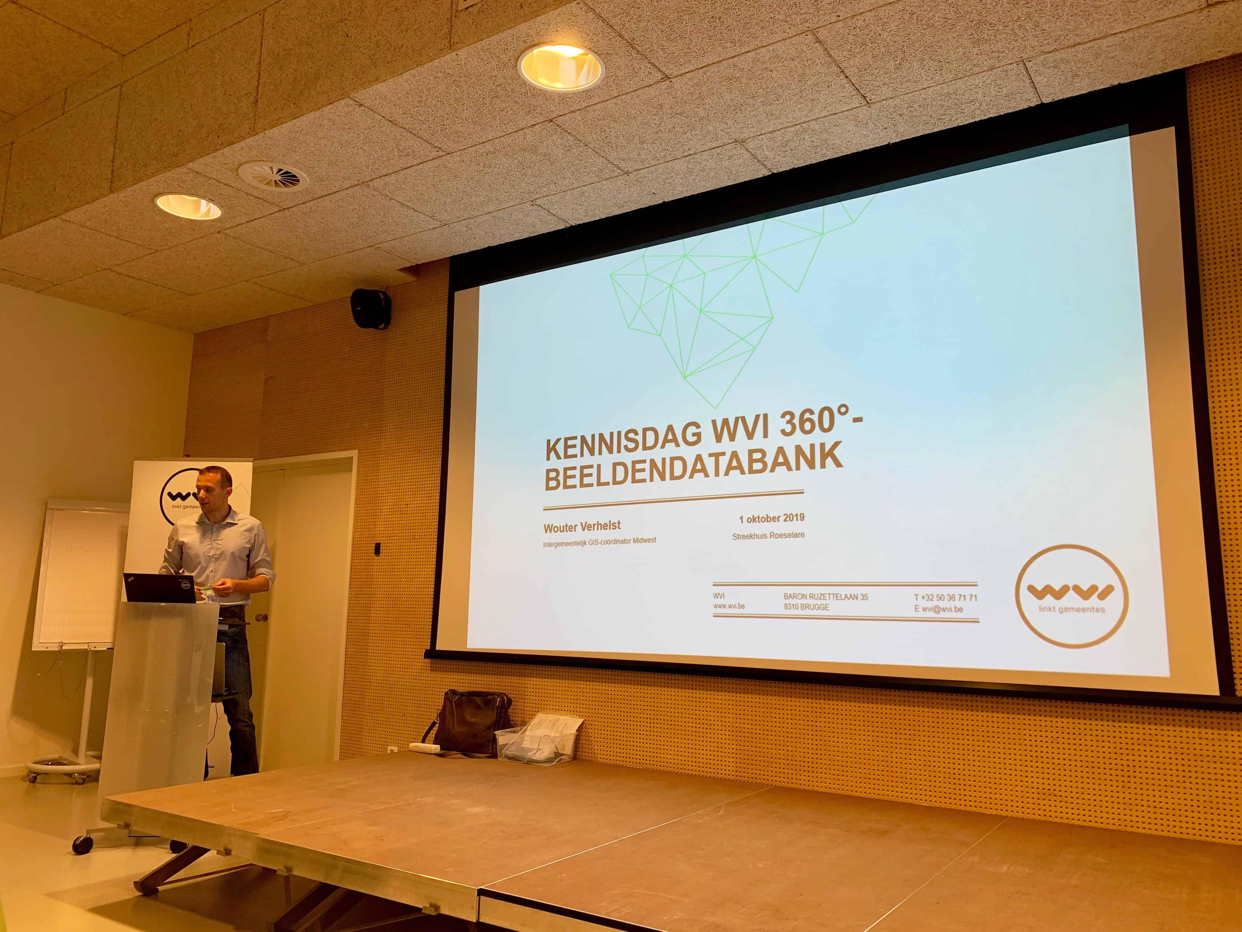
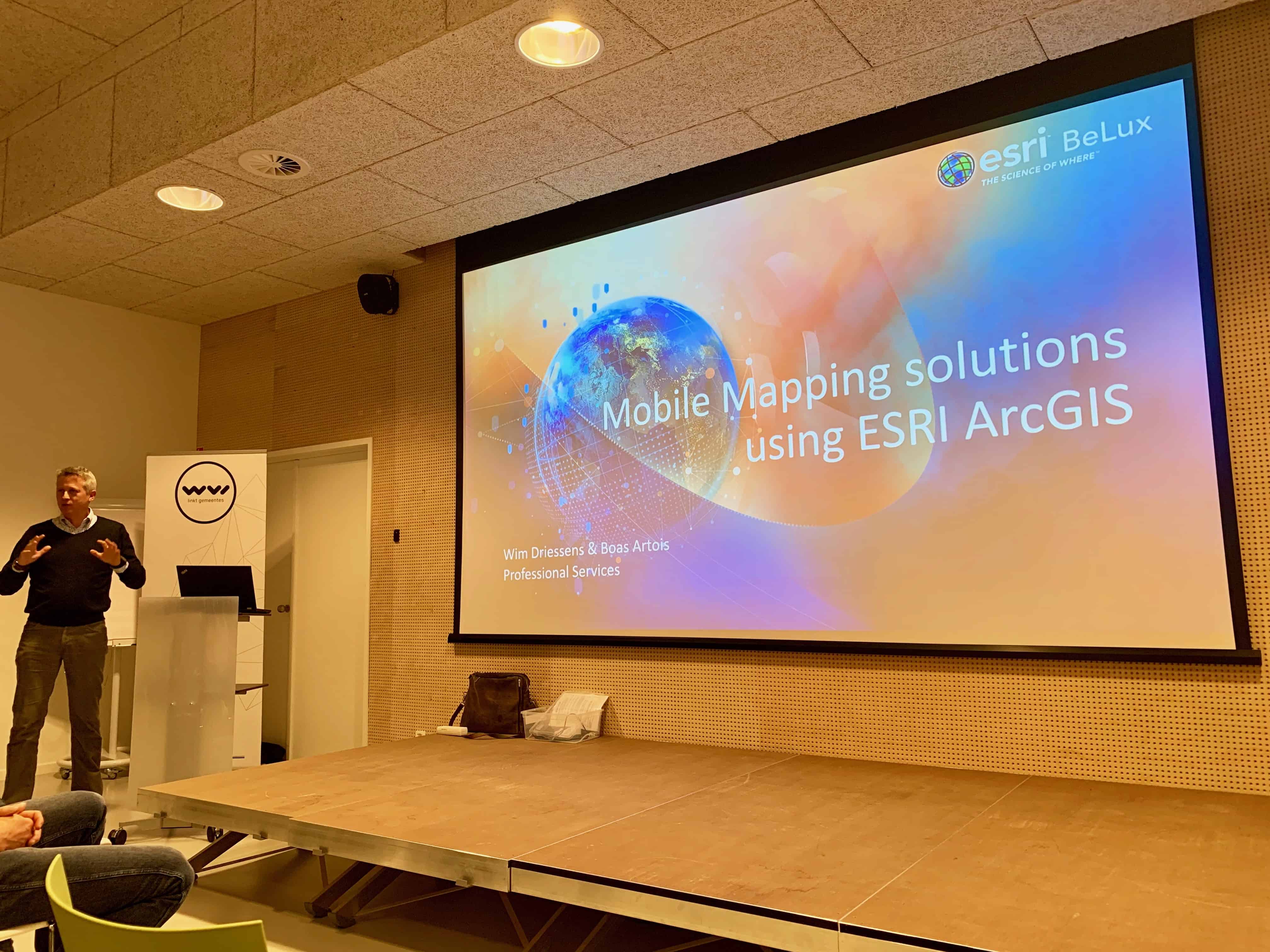
On October 1, the WVI (West-Vlaamse Intercommunale) organized a study day on mobile mapping and inventory on the ground for its participating members.
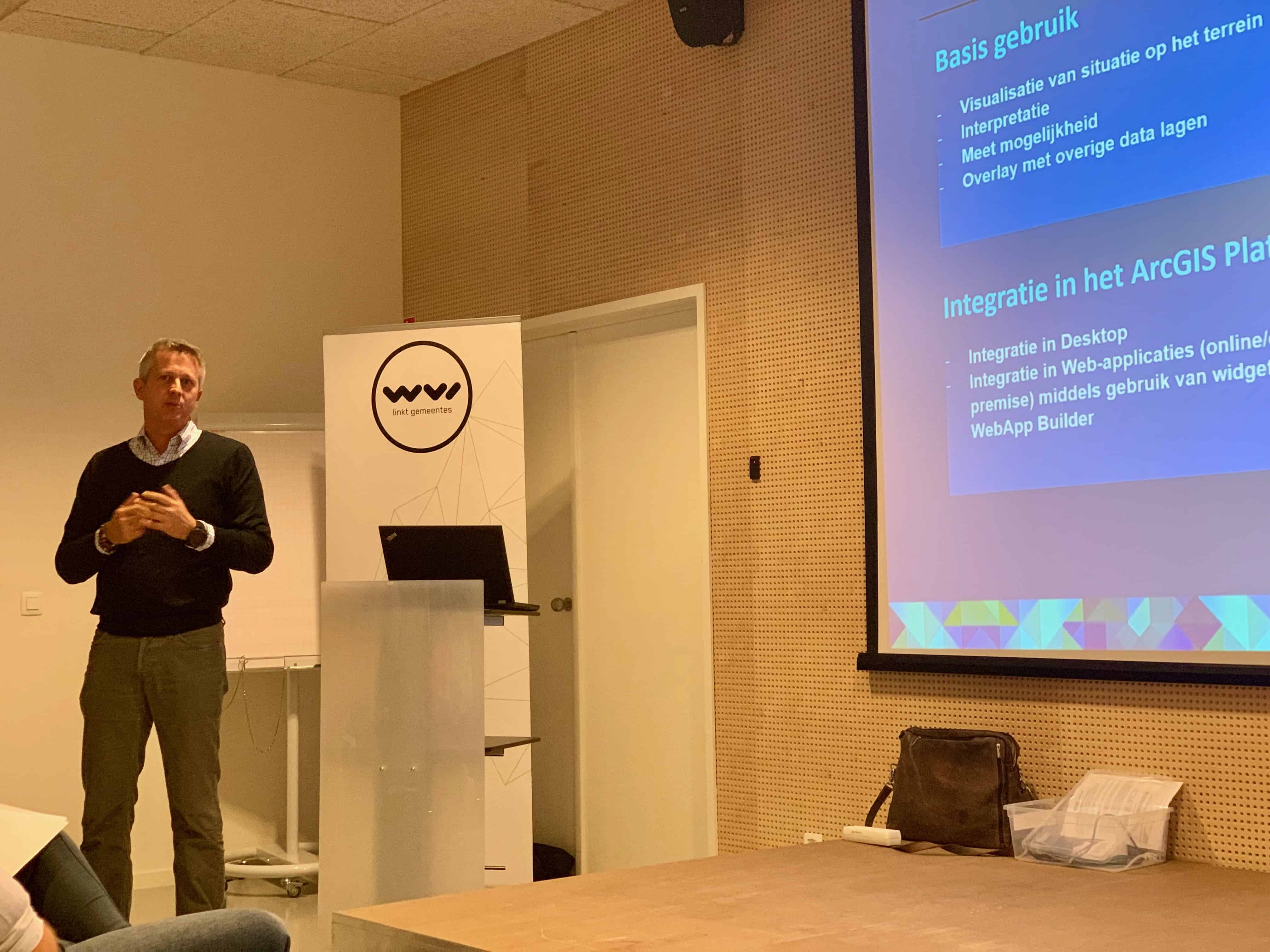
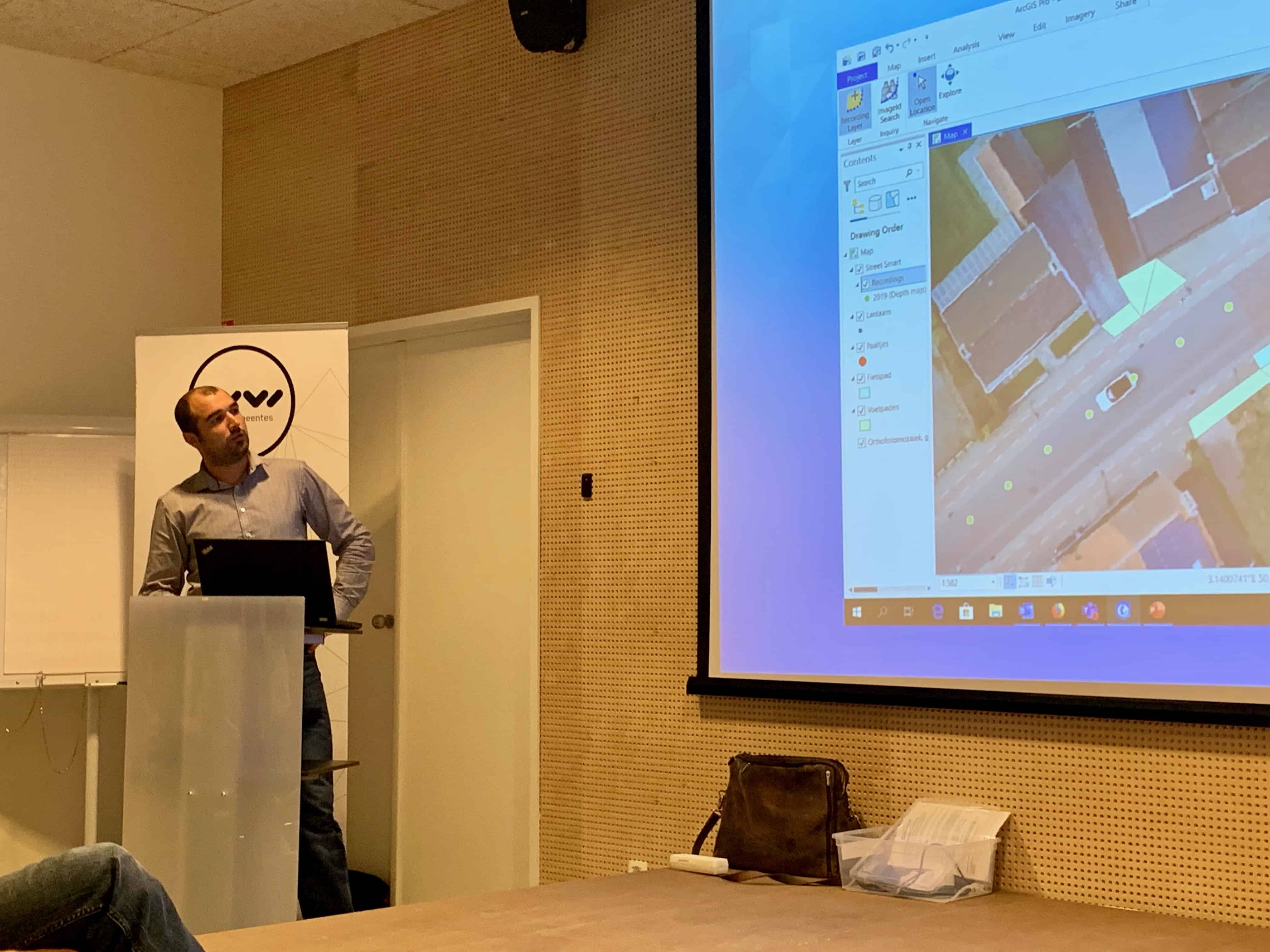
We could explain how you can optimally use your own photos and images as well as images from third-party suppliers in the ArcGIS platform. Visualizing the situation on the ground, measuring on images, inventorying objects, …
A nice symphony of data suppliers, ArcGIS and municipalities.
Thanks to the WVI for the excellent initiative!
Wat zijn de voordelen van een webinar?
U verlies geen tijd, u volgt immers de webinar van achter u computer.
Geen reiskosten en verblijfkosten.
Deelname is gratis, je hebt enkel een computer en een internet connectie nodig.


