ESRI SAG Award
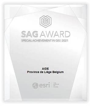
Esri President Jack Dangermond presides over the SAG Award ceremony to recognize organizations around the world every year. The Special Achievement in GIS (SAG) Award ceremony is held at the annual Esri User Conference, with about 19,000 participants each year. Jack Dangermond, president and founder of Esri, personally selects recipients and presides over the ceremony. This award is given to user sites around the world to recognize outstanding work with GIS technology. AIDE stood out from more than 100,000 others.
Project information
AIDE specialists are using GIS Desktop solutions for many years for integrated management of sewerage network, hydraulic studies (exchange of information between GIS and hydraulic modelization tools), and audits of the structural and functional conditions of the networks.
In recent years, GIS at AIDE has reached a new level of information sharing thanks to the GIS Portal “GIR@ALL” and the Field and operational Apps ArcGIS ecosystem.
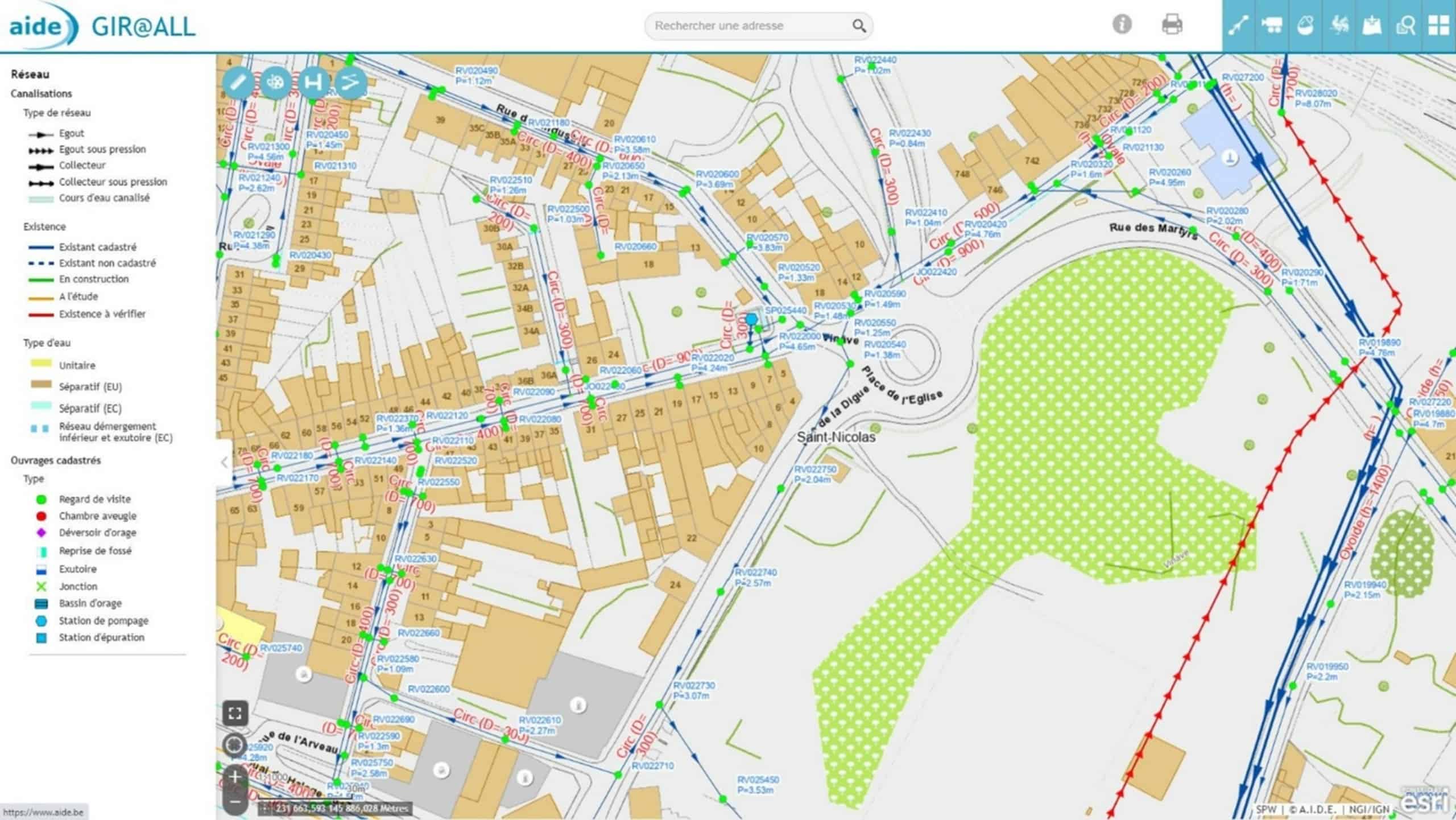
The GIS Portal « GIR@ALL » allows a sharing of various information on sewerage network (like the geometry, the results of the visual inspections, or hydraulic studies…) and specific tools for network management, not only across the entire AIDE organization but also towards the 84 localities of the Liege Province. The localities can already visualize and query these information but soon, the localities will apply for endoscopy requests, realize cadastral updates through the “GIR@ALL” portal. GIS will become a true bidirectional way of collaboration between AIDE and the localities

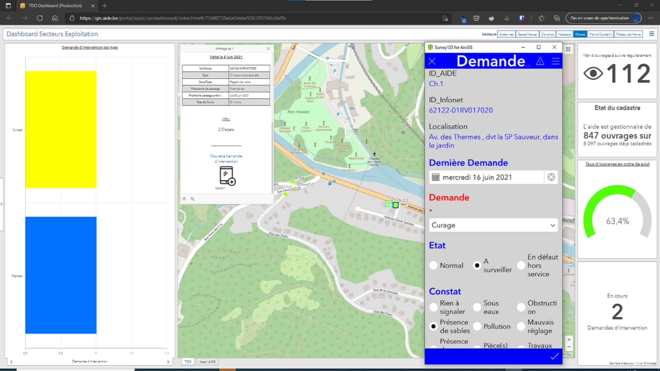
From paper to tablet, Operational department is improving asset management and maintenance round of stormwater overflows by collecting information on the field directly from Survey123 formular. Information collected from the field are shared through Dashboard to the office agent in charge of the coordination and round planning. This process will be extended to the collection of chambers, special assets, etc.
The business problem that AIDE solved
Quick access to valuable network information for all users
Better sharing of information and collaboration through the entire AIDE organization between the field operator and different departments agents and towards the localities.
Traditional Paper collection workflow have been replaced by digital collection workflow leading to a better data quality (decrease of errors and avoid double data entry).
Visualization of maintenance historicity through dashboard has allowed to optimize asset visiting frequency, maintenance round and lead globally to a better coordination between field crews and office agents.

Used Esri technology
- ArcGIS Enterprise Standard 10.8.1
- ArcGIS Online
- ArcGIS Pro Advanced
- Spatial Analyst
- Survey123
- Collector / Field Maps
- Dashboard for ArcGIS
- ArcGIS Web App Builder and development of specific Widget
Company overview
The Association Intercommunale pour le Démergement et l’Epuration des Communes de la Province de Liège (AIDE) is responsible for the management of water emergence and water sewage treatment of the wastewater for 1.300.000 inhabitants across 84 localities for the Liege Province, Wallonia, Belgium.
AIDE mission consists of carrying out preparatory studies, project studies, management and supervision of the construction, maintenance and operation of sewers, collectors, lifting stations and waste water treatment plants, in order to treat domestic and industrial wastewater discharged into public sewers.
More info on AIDE: https://www.aide.be/


