Introduction to geoprocessing scripts using Python (ArcMap)
This course teaches how to create Python scripts for key ArcGIS workflows and share them so they are accessible to others.
Image analysis with ArcGIS
Learn best practices and workflows to enhance visualization and extract meaningful information from satellite imagery, lidar, and other remotely sensed data.
Deploying Portal for ArcGIS (ARCMAP)
Learn best practices to deploy Portal for ArcGIS to meet your organization's need for private, secure geospatial content sharing. This course introduces the architectural and security models that support Web GIS workflows.
Designing maps with ArcGIS (ArcMap)
This course teaches how to create maps that are easy to interpret and properly designed for their audience and delivery medium, with an emphasis on applying fundamental cartographic design principles.
Editing data with ArcGIS for Desktop (ArcMap)
Accurate data is essential to produce GIS maps and analysis results that support informed decision making. This course teaches methods for accurately creating and maintaining data stored in a geodatabase.
Building geodatabases (ArcMap)
This course teaches how to create maps that are easy to interpret and properly designed for their audience and delivery medium, with an emphasis on applying fundamental cartographic design principles.
ArcGIS 4: Sharing content on the web (ArcMap)
This course prepares you to share geographic content so it is accessible to everyone who needs it, when they need it, however they want to access it.
ArcGIS 3: Performing analysis (ArcMap)
This course teaches a standard workflow you can apply to any spatial analysis project. Working with a variety of ArcGIS tools and data, you will perform different types of analyses to efficiently create reliable results that support informed decision making.
ArcGIS 2: Essential workflows (ArcMap)
In this course, you will acquire skills that will prepare you to perform the most common ArcGIS workflows. Primarily using ArcMap and ArcGIS Online, you will explore, manage, and analyze geographic data and create informative maps.
ArcGIS for Server – Site configuration and administration (ARCMAP)
This course teaches how to successfully plan, deploy, configure, and manage an ArcGIS for Server system that enables GIS content sharing across the enterprise.
ArcGIS 1: Introduction to ArcGIS (ArcMap)
This course introduces GIS concepts and ArcGIS tools used to visualize real-world features, discover patterns, obtain information, and communicate that information to others.
Migrating from ArcMap to ArcGIS Pro
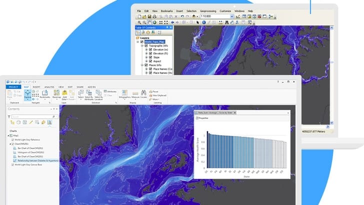
This course is for ArcMap users that wish to migrate to ArcGIS Pro. This hands-on course will familiarize you with essential ArcGIS Pro terminology and prepare you to efficiently complete many different tasks related to visualization, editing, geoprocessing, and analysis.
Wat zijn de voordelen van een webinar?
U verlies geen tijd, u volgt immers de webinar van achter u computer.
Geen reiskosten en verblijfkosten.
Deelname is gratis, je hebt enkel een computer en een internet connectie nodig.