A New Map for Education
In the world of educational heritage management, a quiet revolution is underway, one that fundamentally changes the way we think about school buildings and grounds. The Infrastructure Department of the Central Services* of the Community Education, with professionals like Annick and Geraldine, is pioneering this movement. With 800 domains and 4000 buildings under its care, the department has a monumental task: managing and optimizing the school assets.
The Initial Phase: Overcoming Dispersed Data
The journey began under circumstances many across all sectors can recognize: policy information was fragmented or non-existent, and visualizing domains on maps was a manual and time-consuming task. The introduction of a Facility Management Information System (FMIS) to map the assets along with measuring the buildings was a first step. However, FMIS has limited capabilities for visually displaying information and is less suitable for linking internal and external data. When they encountered the limits of FMIS, the step to ArcGIS Online was quickly made, with Geraldine as the GIS expert.
This allowed them to enrich and visualize their assets insights in ways previously unthinkable. A major advantage of ArcGIS Online is that no IT infrastructure is needed to get started. Being able to directly publish apps and maps also led to its rapid adoption throughout the organization.

GIS in Decision Making: Beyond the Map

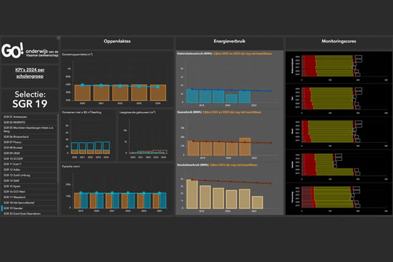
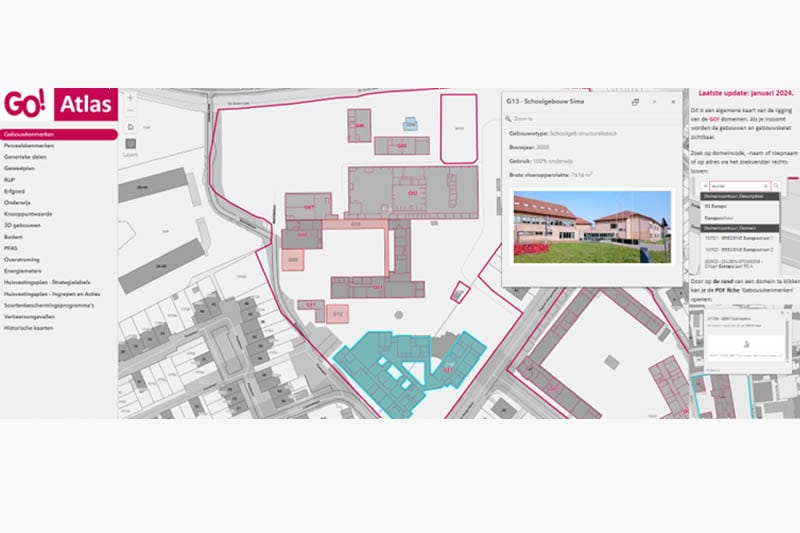
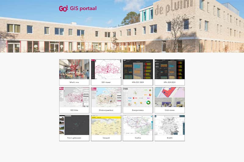
The fruits of this transformation are clear, the GO! GIS Portal. Two atlases, one thematic atlas for terrain and buildings and one for the educational offering (number of students, study directions, and more). Both atlases are filled with internal and external data and maps. Various dashboards that help monitor performance indicators such as energy consumption are just the beginning.
StoryMaps for documentation and manuals offer an interactive way to provide information and several other solutions. The primary data source remains FMIS, but continuous export to ArcGIS ensures up-to-date and layered data.
But these tools are more than just beautiful maps; they are essential parts of decision-making processes. For example, the data is used to determine where new school buildings need to be constructed, reducing unused space, and improving the overall condition of the buildings. There are specific maps per domain where decisions about the domain, such as demolishing buildings, constructing new ones, or centralizing, are made visible. These are integrated into ArcGIS for higher-level policy. Here, they can find all aspects of a domain centralized in one system. Although access to this data is limited to those within the infrastructure department and some other colleagues (surveyor, EPC expert), there are plans to upgrade to an Enterprise system to involve more stakeholders.
Of course, no implementation comes without challenges. The scalability and management of GIS data are points of attention. Inventorying is low threshold, but good management and follow-up are equally important. For example, after inventorying boilers in schools, finding the optimal way to manage this data and link it to a maintenance schedule is still a search.
Vision: Innovative GIS Use as a Hub
What does the future hold? There is a desire to bring together as much data as possible and centralize ArcGIS in data management. This means working on integration with various systems and refining processes for a seamless user experience. It also means upgrading to ArcGIS Enterprise to improve user management and involve more people with separate roles.
The approach of Community Education demonstrates a deep understanding of how technology can lead to better decision-making and more efficient management. In a sector where resources are sometimes limited, GIS offers a way forward — not only for Community Education but for educational institutions everywhere. It is a lesson in innovation and adaptability that others can follow. The potential of GIS in education is as clear as the maps that now form an essential part of managing school groups.
Who are Annick Claes and Geraldine Eggermont?
Annick and Geraldine work within the central services at the Infrastructure Department. They work in a team responsible for Facility Management Information Systems Application (FMIS), ArcGIS Application, and Data Management and Reporting around the assets. Annick is responsible within this team and ensures these systems are content aligned. Geraldine, as a GIS analyst, is on the technical side, where she applies her extensive knowledge of ArcGIS daily.


