

HOW FANC USES ADVANCED GIS SOLUTIONS FOR NUCLEAR CONTROL
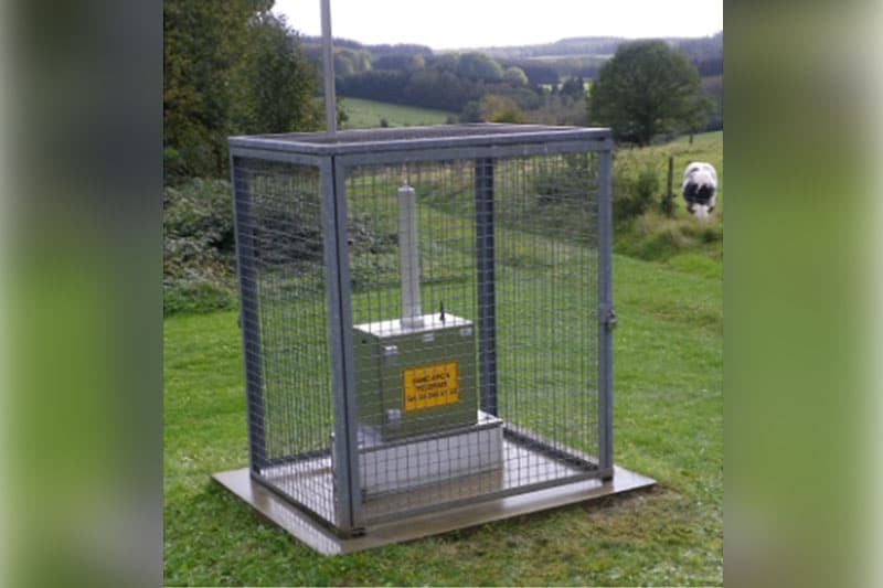
Peter Vandecaveye2024-10-18T13:36:49+02:00The FANC's mission is to protect the public, workers, and the environment from the risks of ionizing radiation. Their activities range from monitoring nuclear power plants to verifying medical facilities, as well as the continuous monitoring of radioactivity across Belgium through the TELERAD network. [...]


