

This course introduces web maps, apps, and other authoritative content that may be available through your ArcGIS Online organizational site. You will learn how to discover, use, create, and share content that infuses projects with geographic context, additional business intelligence, and visual impact.

Mapping and Visualizing data in ArcGIS
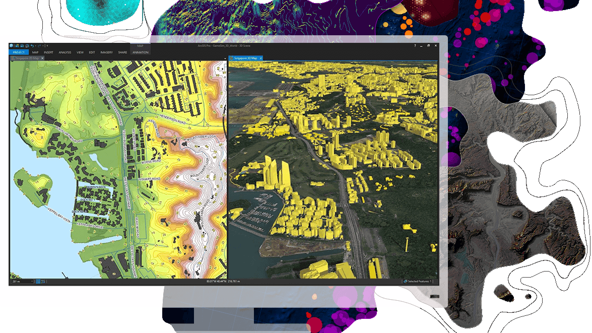
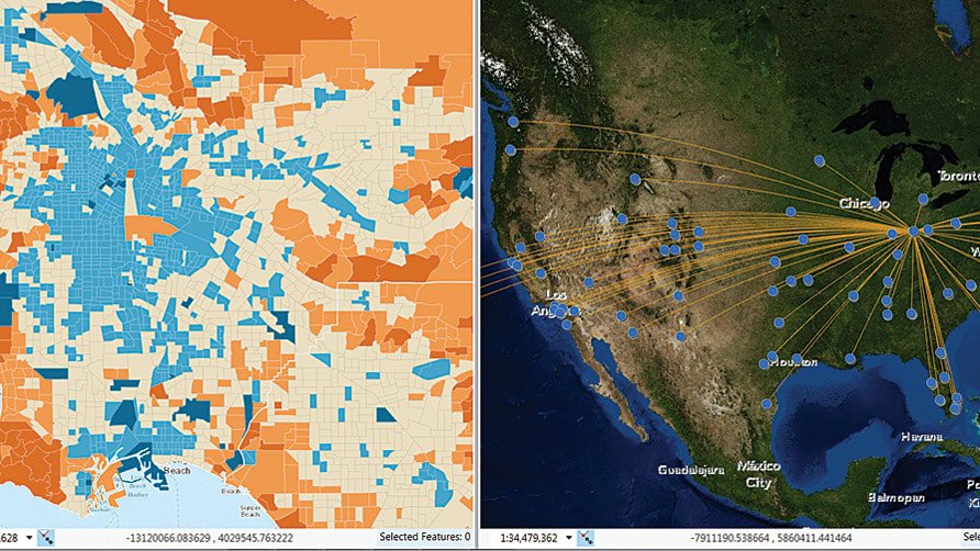
Maryke Ghesquiere2023-07-25T11:55:25+02:00Learn fundamental cartographic design principles and a standard workflow to produce print and online maps tailored to their purpose, medium, and intended audience. This course teaches ArcGIS Pro techniques to create and share a variety of professional-quality information products including print maps, web maps, 3D scenes, animations, and charts.

Creating stories with ArcGIS
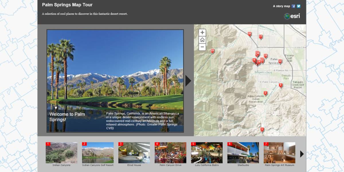
Maryke Ghesquiere2023-04-17T13:51:03+02:00Thanks to their engaging user experience, story maps have achieved mass appeal as a vehicle to inform the public, engage stakeholders, and inspire an audience. This course is for anyone that wants to communicate with maps—teaches the concepts, best practices, and decisions that need to be made when creating and sharing a story map.

ArcGIS Pro: Essential Workflows
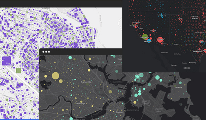
Maryke Ghesquiere2024-07-18T10:34:27+02:00Extend your foundational GIS knowledge, get comfortable with the ArcGIS Pro application, and explore some of the most common GIS workflows. This course introduces techniques and general best practices to map, manage, analyze, and share data and other GIS resources.