

Learn how to build immersive web apps that take advantage of modern web design principles without writing code. This course shows how to interactively create, configure, and publish mapcentric and datacentric web apps that feature your organization's content.

Get Started with ArcGIS Arcade
Maryke Ghesquiere2024-07-08T09:46:04+02:00Enable customized content across the ArcGIS system. Discover the unique role of the Arcade expression language within ArcGIS and explore concepts that underlie writing and executing Arcade expressions that can be used across the ArcGIS system (ArcGIS Online, ArcGIS Pro, ArcGIS Enterprise, and ArcGIS apps).

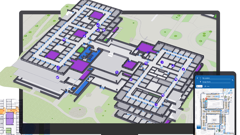
Introduction to ArcGIS Indoors
Maryke Ghesquiere2022-11-15T14:39:03+01:00This course introduces key workflows to successfully deploy ArcGIS Indoors. Learn how to create and maintain a complete system for indoor mapping and data management that lets your organization share smart building maps.

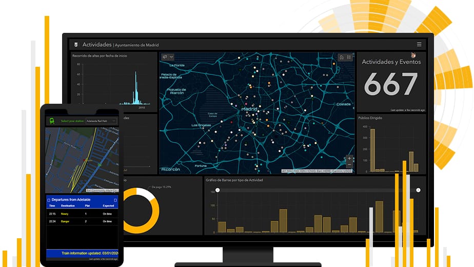
Working with ArcGIS Dashboards
Maryke Ghesquiere2023-07-27T11:26:32+02:00Learn how to present data simply and effectively to monitor key metrics and activities in progress and provide decision-makers with easy access to the data that matters most to them. This course covers the essential concepts and workflows you need to understand to create an ArcGIS Dashboards dashboard from scratch, configure it to meet your data users' needs, and share it with stakeholders.

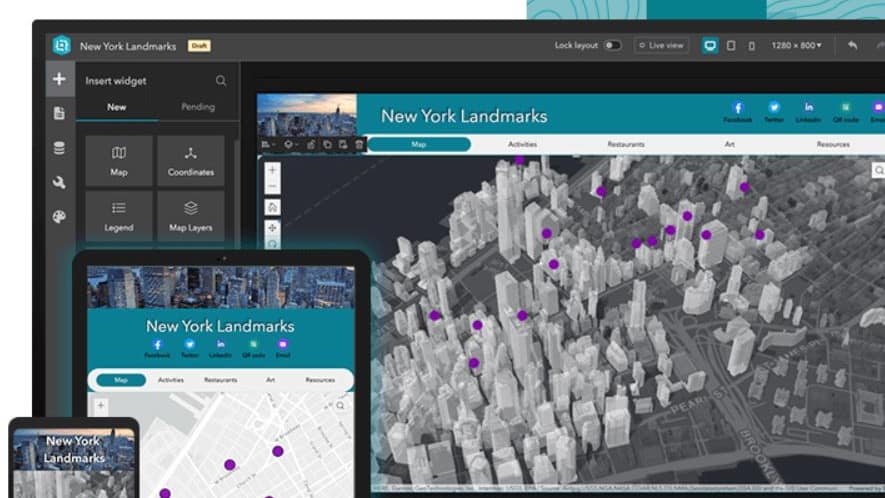
ArcGIS Online: Essential Workflows
Maryke Ghesquiere2024-07-01T11:45:22+02:00This course introduces web maps, apps, and other authoritative content that may be available through your ArcGIS Online organizational site. You will learn how to discover, use, create, and share content that infuses projects with geographic context, additional business intelligence, and visual impact.

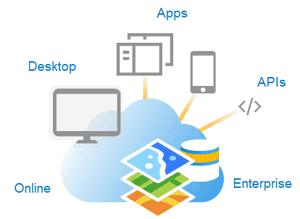
ArcGIS Enterprise : Administration workflows
Maryke Ghesquiere2024-07-08T11:14:59+02:00Master techniques to configure and maintain an ArcGIS Enterprise solution that meets your organization's business needs. You will learn about ArcGIS Enterprise architecture, server licensing roles and extensions, and the capabilities that support common GIS patterns of use. Best practices to manage servers, data, and services while ensuring system performance over time are covered.

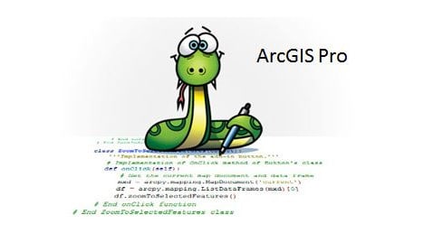
Creating Python Scripts for ArcGIS
Maryke Ghesquiere2024-07-08T11:07:59+02:00This course teaches how to access the Python environment in ArcGIS Pro, script common data management tasks, and automate geoprocessing workflows.

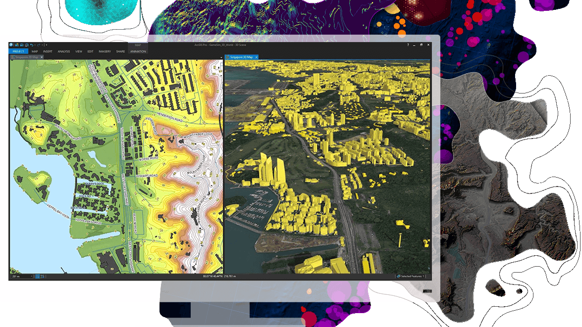
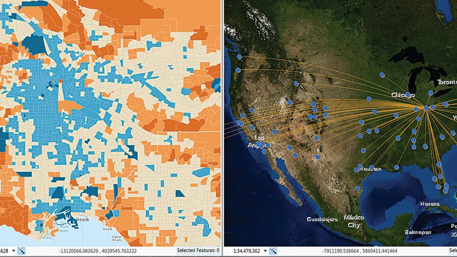
Mapping and Visualizing data in ArcGIS
Maryke Ghesquiere2023-07-25T11:55:25+02:00Learn fundamental cartographic design principles and a standard workflow to produce print and online maps tailored to their purpose, medium, and intended audience. This course teaches ArcGIS Pro techniques to create and share a variety of professional-quality information products including print maps, web maps, 3D scenes, animations, and charts.

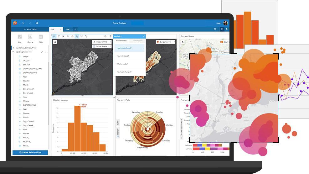
Location Analytics Using ArcGIS Insights
Maryke Ghesquiere2022-10-25T15:06:27+02:00This course prepares you to work with Insights for ArcGIS to dynamically visualize and analyze data from multiple sources on maps, charts, tables, and more.

Image analysis with ArcGIS
Maryke Ghesquiere2022-10-25T09:44:54+02:00Learn best practices and workflows to enhance visualization and extract meaningful information from satellite imagery, lidar, and other remotely sensed data.