


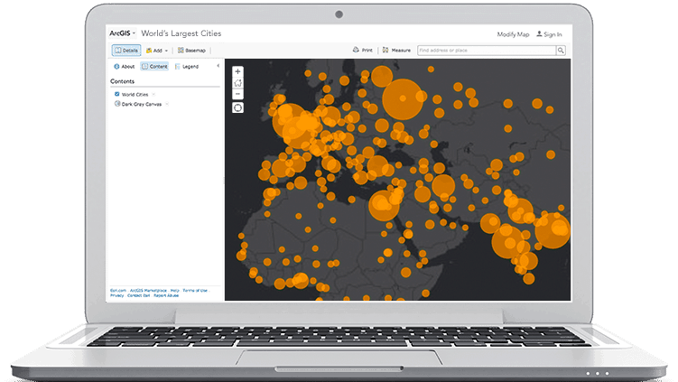
This course introduces GIS concepts and ArcGIS tools used to visualize real-world features, discover patterns, and communicate information. This course is for new ArcGIS users.

Sharing content to ArcGIS Enterprise
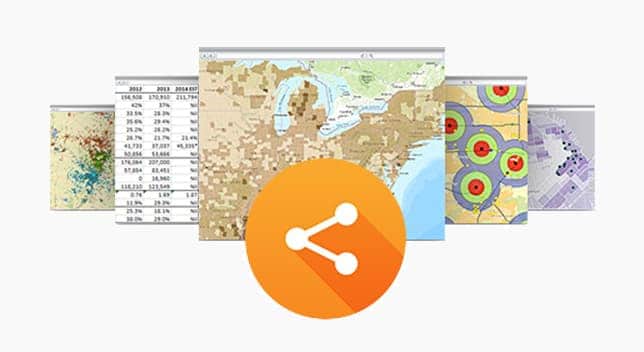
Maryke Ghesquiere2022-10-21T13:59:51+02:00This course prepares you to share geographic content so it is accessible to everyone who needs it, when they need it, however they want to access it.

Working with CAD Data in ArcMap
Maryke Ghesquiere2020-01-09T10:01:05+01:00Like GIS data, CAD data is commonly used in design, engineering, and planning workflows. In this course, you will learn how to efficiently display CAD data with GIS layers in ArcGIS, use CAD data directly in ArcGIS geoprocessing and analysis operations, and import CAD data into a geodatabase.