


Tell your story with ArcGIS Online Story Maps
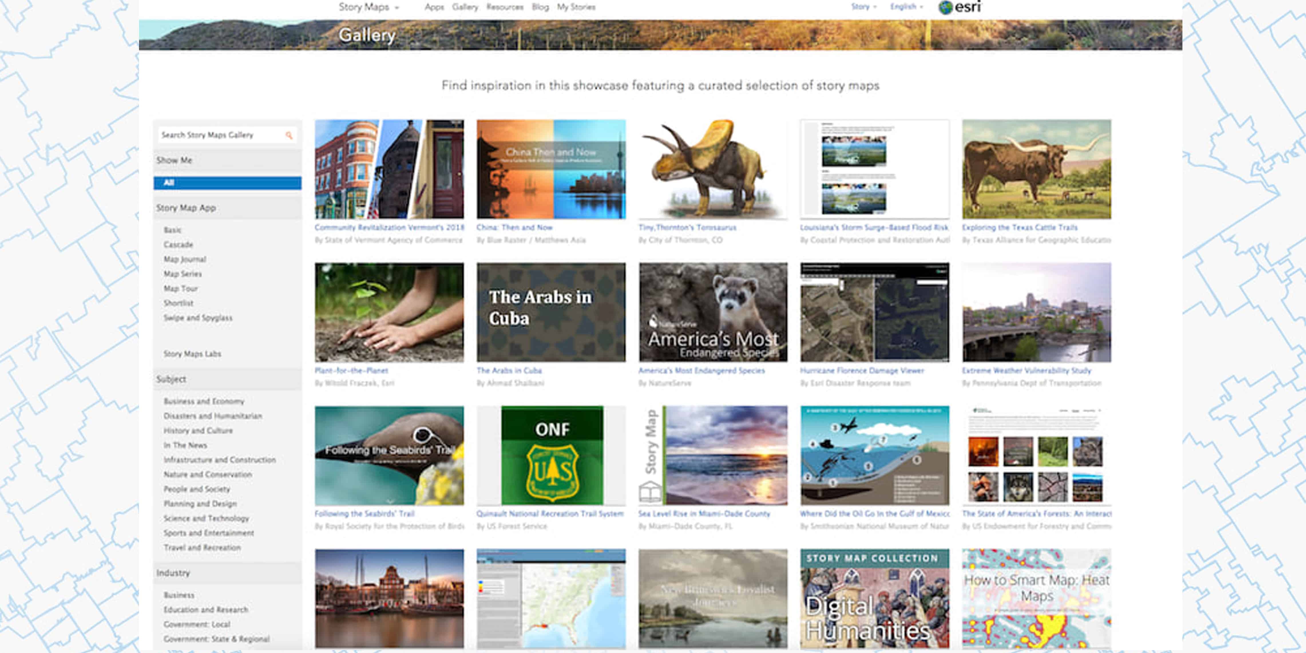
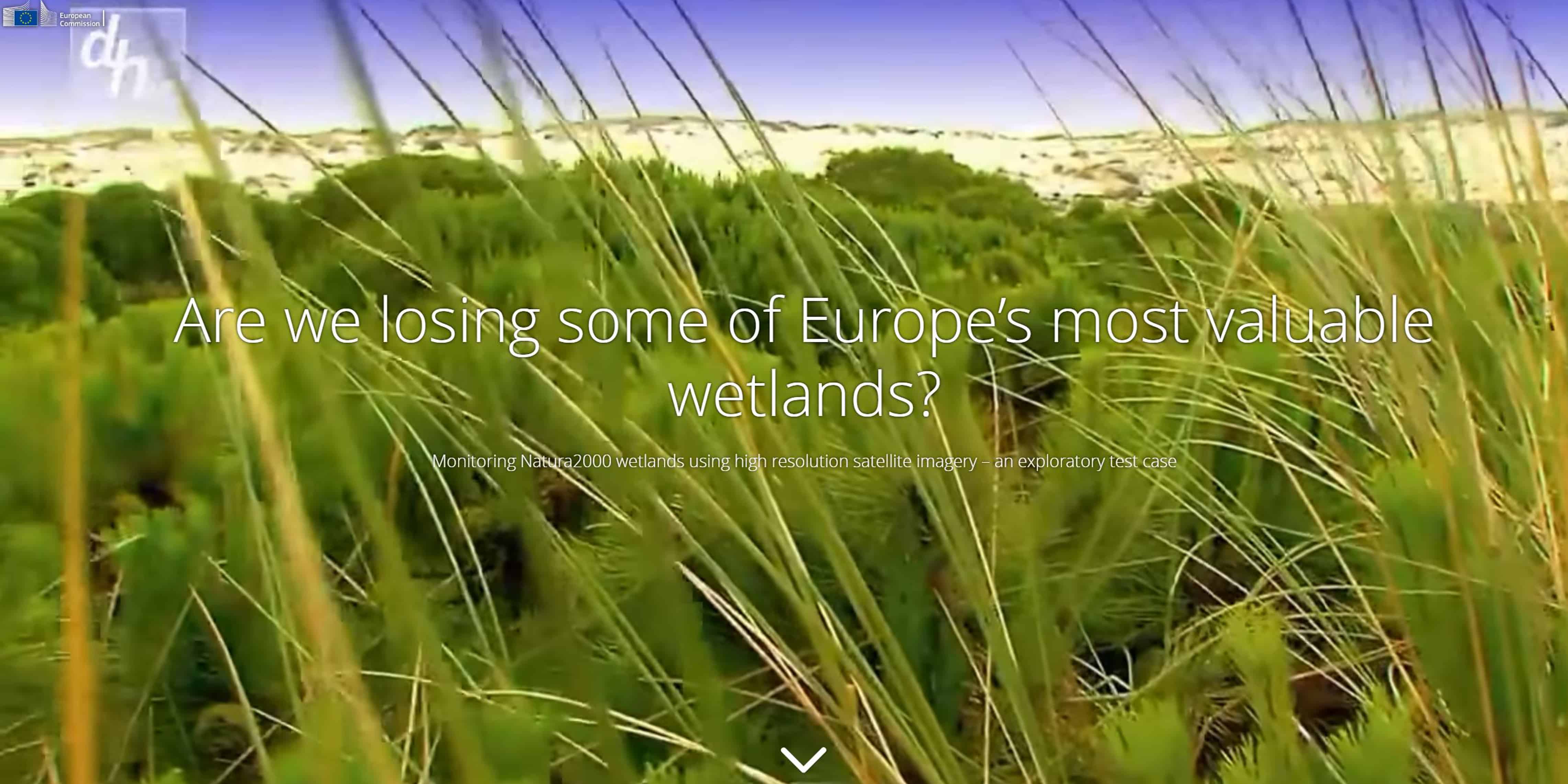
Admin Connectingdots2023-03-08T12:23:10+01:00Who knows ArcGIS Online knows that it is a very powerful platform for visualizing location-based data. Less well known is that ArcGIS Online also offers a wonderful tool for telling and sharing stories about your data, Story Maps. Discover the possibilities and [...]


