Tips about GIS

Home/Tips about GIS

New White Paper – GIS and BIM in the Cloud

2023-03-04T13:59:50+01:00

GIS & BIM in the Cloud - New White Paper A new 35-page eBook featuring AEC clients Arcadis, HNTB, and VolkerWessels Infrastructure has been released. Discover how 3 innovators are bringing together GIS & BIM to transform delivering infrastructure projects and assets. This eBook [...]

New White Paper – GIS and BIM in the Cloud2023-03-04T13:59:50+01:00

What changes were made to Personal and Student Use subscriptions on July 20, 2021

2021-07-30T09:40:11+02:00

Changes The default user type is now GIS Professional Advanced instead of Creator The default user type is now GIS Professional Advanced ArcGIS Business Analyst Web Standard ArcGIS Planner ArcGIS Insights ArcGIS Urban Suite (includes ArcGIS CityEngine) ArcGIS LocateXT is included as a Pro [...]

What changes were made to Personal and Student Use subscriptions on July 20, 20212021-07-30T09:40:11+02:00

Grouping layers in ArcGIS Online is now possible

2021-12-08T13:44:29+01:00

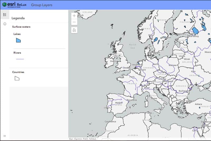
Discover the possibilities With the new ArcGIS Online release (9.1), grouping layers in ArcGIS Online is available and supported. The new Map Viewer (previously Map Viewer beta) allows you to do so. This is a useful functionality that ArcGIS users had asked for [...]

Grouping layers in ArcGIS Online is now possible2021-12-08T13:44:29+01:00

ArcGIS Field Maps : The all-in-one app for fieldwork

2021-04-23T13:08:56+02:00

Discover the possibilities ArcGIS Field Maps is a mobile application which brings together map viewing, data collection and location tracking. It makes it easier to work in the field and to coordinate with office work. Field workers can use this application with ArcGIS [...]

ArcGIS Field Maps : The all-in-one app for fieldwork2021-04-23T13:08:56+02:00
Go to Top