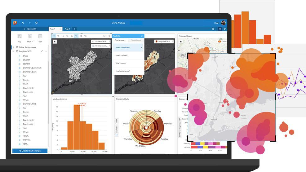
This course prepares you to work with Insights for ArcGIS to dynamically visualize and analyze data from multiple sources on maps, charts, tables, and more.
Image analysis with ArcGIS
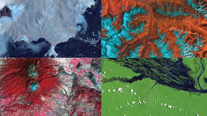
Maryke Ghesquiere2022-10-25T09:44:54+02:00Learn best practices and workflows to enhance visualization and extract meaningful information from satellite imagery, lidar, and other remotely sensed data.
Spatial Analysis using ArcGIS Pro
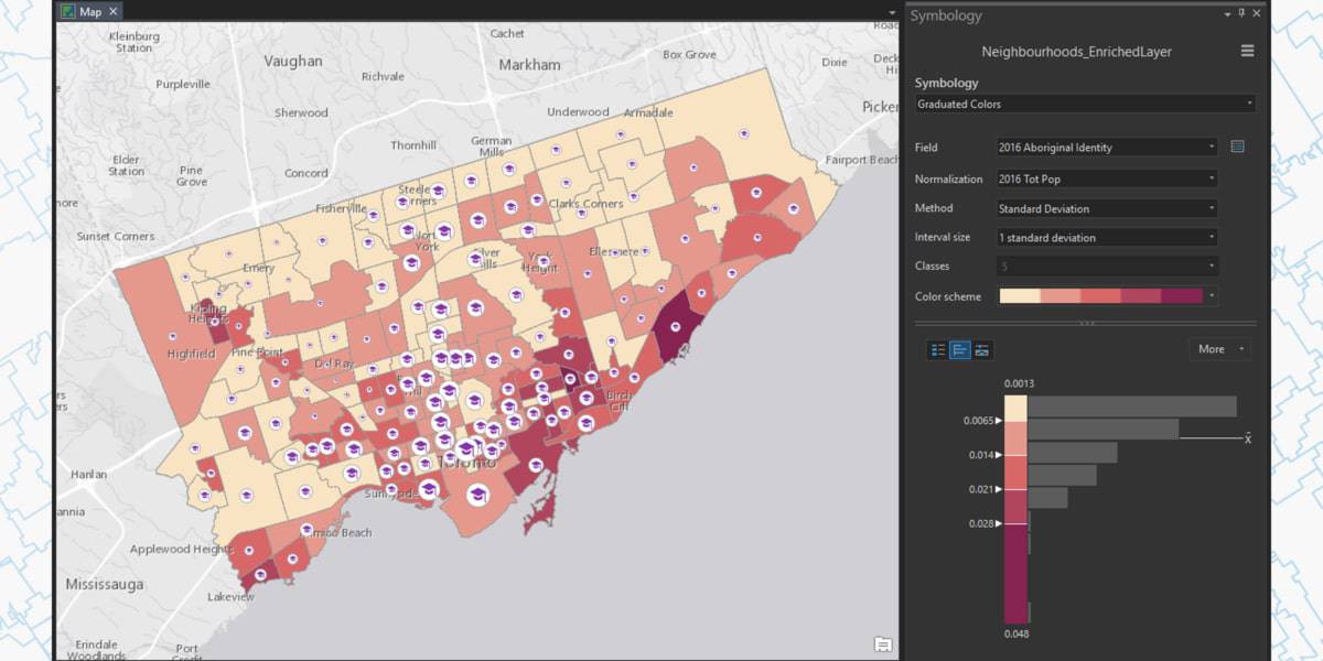
Maryke Ghesquiere2022-10-21T14:19:13+02:00Learn essential concepts and a standard workflow you can apply to any spatial analysis project. You will work with a variety of ArcGIS tools to explore, analyze, and produce reliable information from data.


