


How GIS Transforms the Management of School Assets
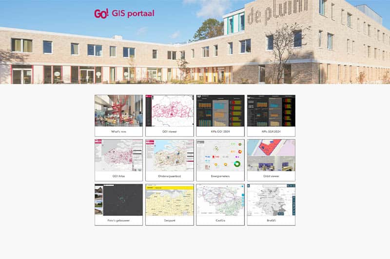
Peter Vandecaveye2024-04-18T07:37:32+02:00A New Map for Education In the world of educational heritage management, a quiet revolution is underway, one that fundamentally changes the way we think about school buildings and grounds. The Infrastructure Department of the Central Services* of the Community Education, with professionals [...]


