
Inspired By Excellence & Innovation
We offer the most powerfull mapping and spacial analytics software

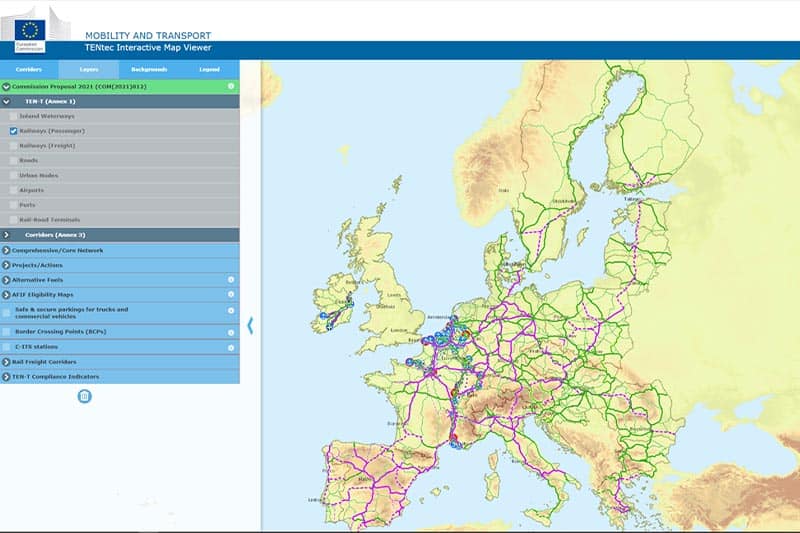
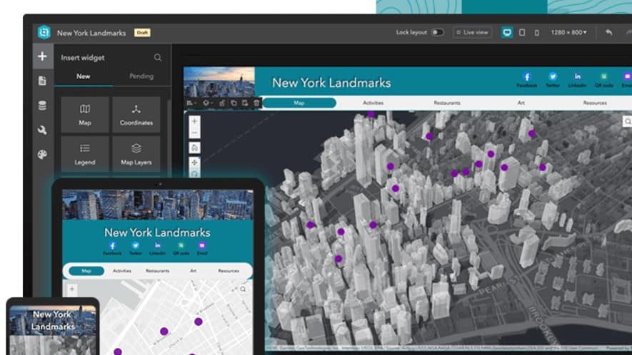
TenTec Interactive Map Viewer
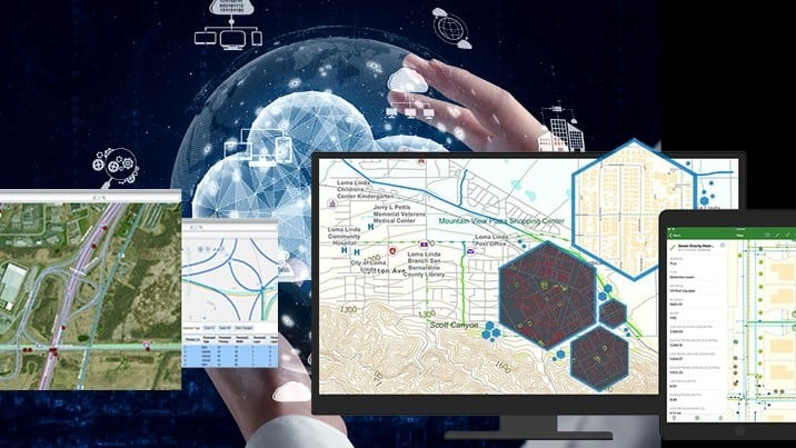
A well-running transport infrastructure is essential to maintaining the [...]

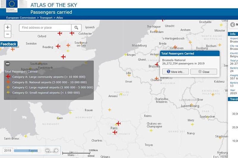
Atlas of the Sky
Airports have a central role in the connectivity provided [...]

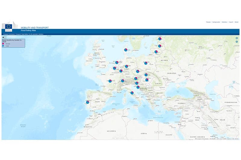
Men are by far at the top of road deaths
Customer Case - Roads Safety Atlas Men are [...]

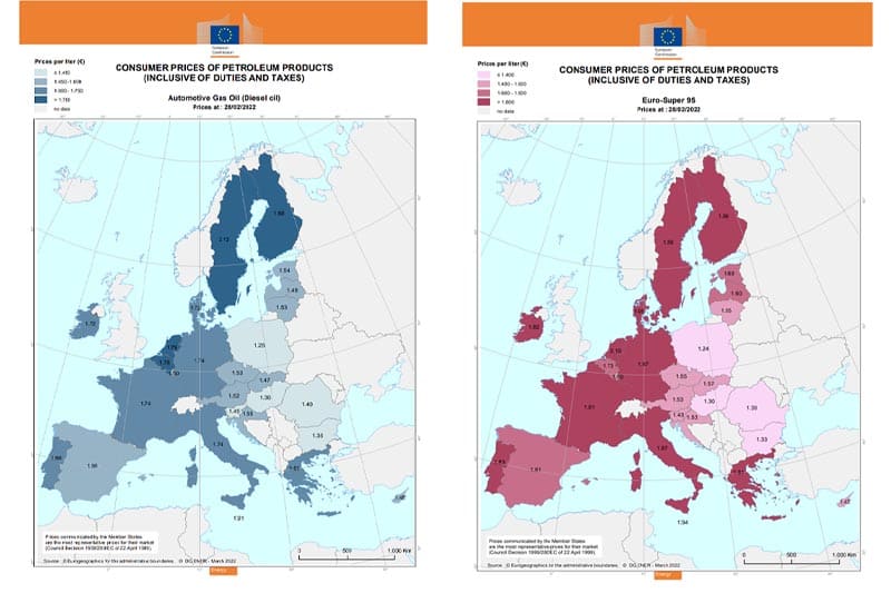
Are you looking for the cheapest diesel or Euro-95 petrol in Europe?
Customer Case - Weekly Oil Bulletin Are you [...]

Visualizing a Better World using the Science of Where – march 28
EVENT IS IN DUTCH GIS event voor Vlaamse steden [...]

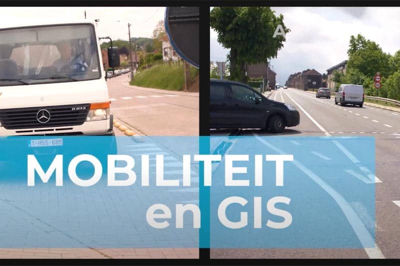
Use of GIS software in Tongeren – MobiSchool
Customer Case - Stad Tongeren Through citizen participation, [...]
POPULAR COURSES

Building Web Apps with ArcGIS Experience Builder
Learn how to build immersive web apps that take advantage of modern web design principles without writing code. This course shows how to interactively create, configure, and publish mapcentric and datacentric web apps that feature your organization's content.

ArcGIS: exploring the possibilities
Everyone loves maps, but ArcGIS capabilities go way beyond mapping. This course explores how organizations use ArcGIS to streamline operations, gain deeper insight from data, and enhance collaboration across business lines.

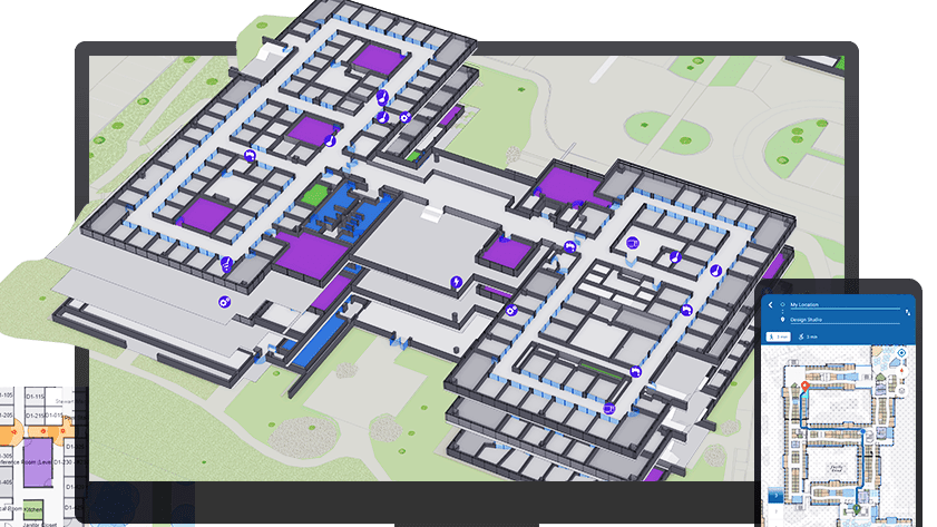
Introduction to ArcGIS Indoors
This course introduces key workflows to successfully deploy ArcGIS Indoors. Learn how to create and maintain a complete system for indoor mapping and data management that lets your organization share smart building maps.
Wat zijn de voordelen van een webinar?
U verlies geen tijd, u volgt immers de webinar van achter u computer.
Geen reiskosten en verblijfkosten.
Deelname is gratis, je hebt enkel een computer en een internet connectie nodig.